VERY RARE! WWII June 6th 1944 Original 101st/82nd Airborne STE. MERE EGLISE Heavily Used Operation Overlord U.S. Airborne Tactical Map
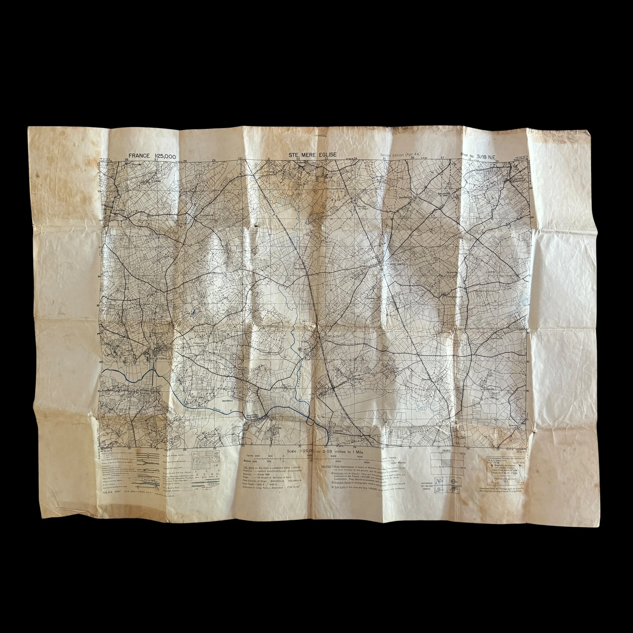
VERY RARE! WWII June 6th 1944 Original 101st/82nd Airborne STE. MERE EGLISE Heavily Used Operation Overlord U.S. Airborne Tactical Map
Comes with hand-signed C.O.A.
Size: 21.5 × 30.5 inches
Item Identification: Operation Overlord U.S. Airborne Tactical Map Sheet
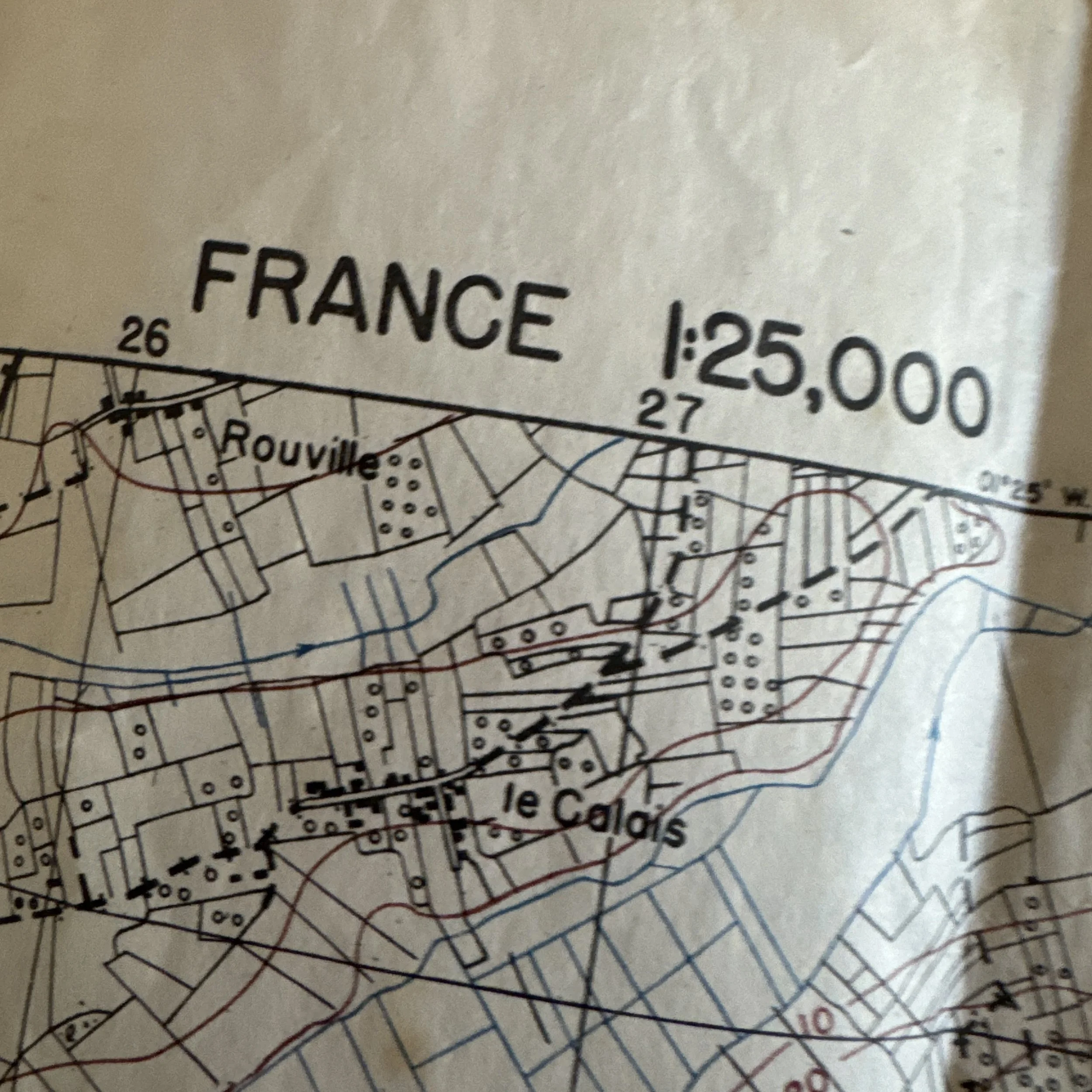
Sector Sheet: STE. MERE EGLISE (1:25,000 Scale)
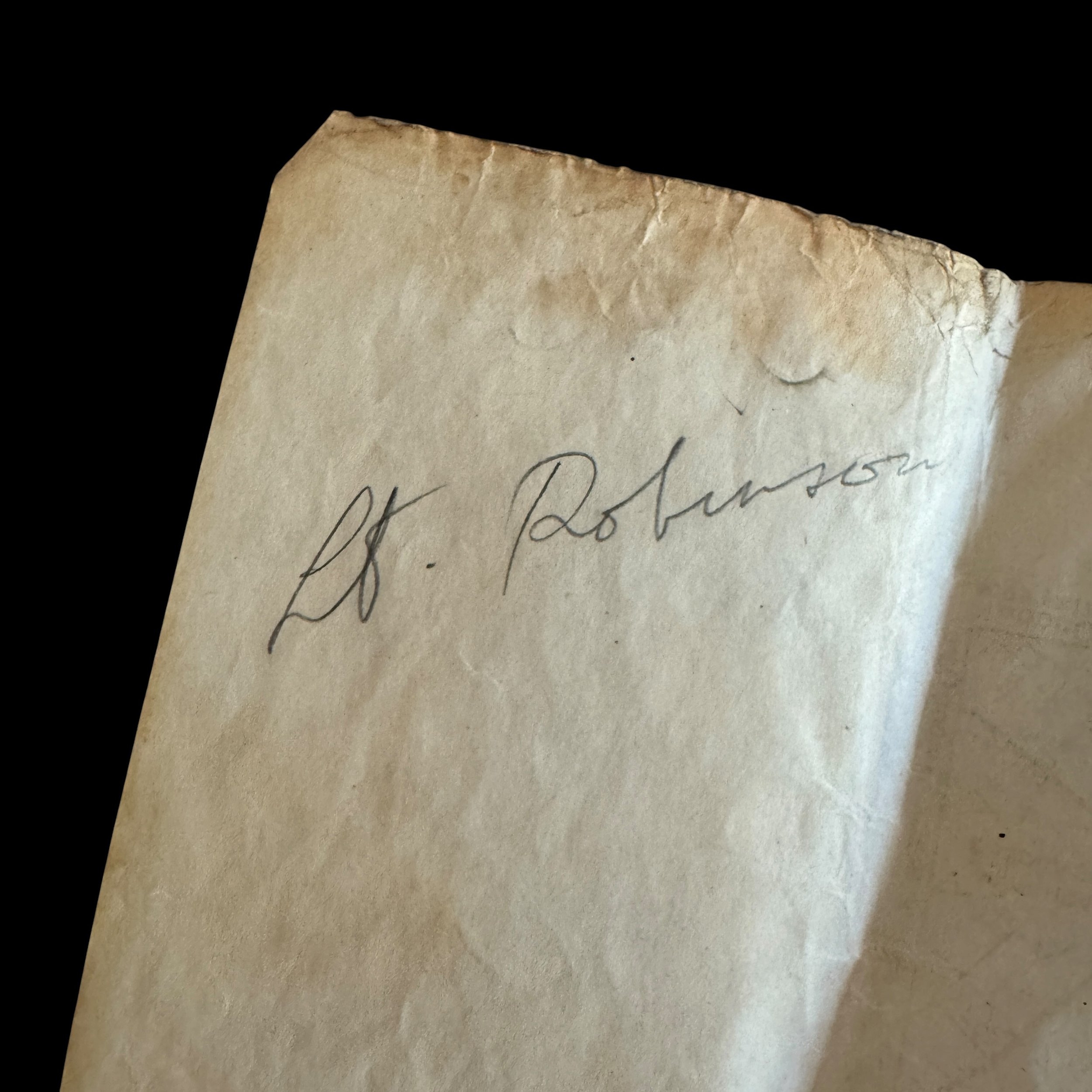
Attributed Provenance: "Lt. Robinson" (82nd / 101st Airborne Division)
Historical Date/Period: Pre-Invasion Printing: April 1944; Combat Usage: June 6–9, 1944 (D-Day & Operation Neptune)
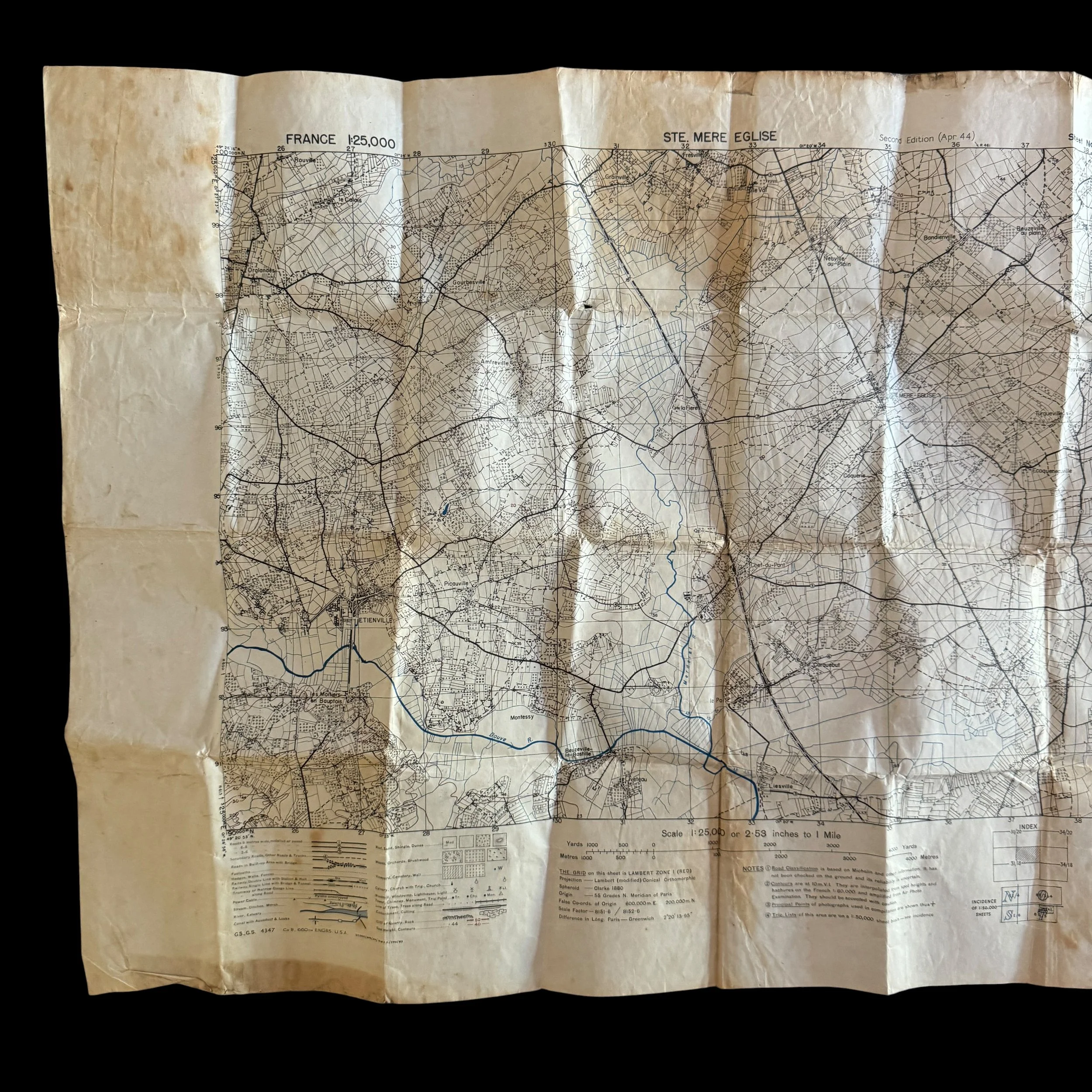
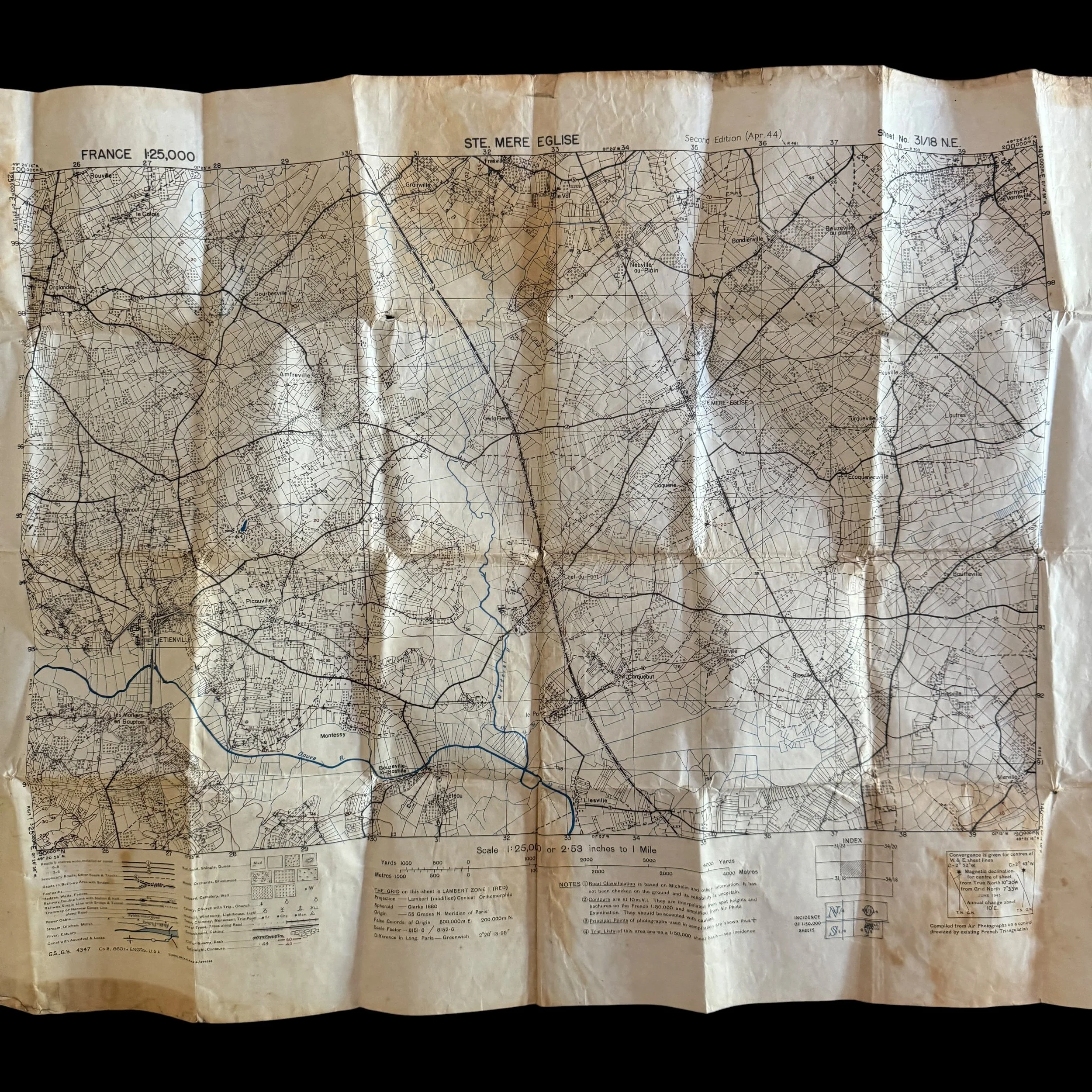
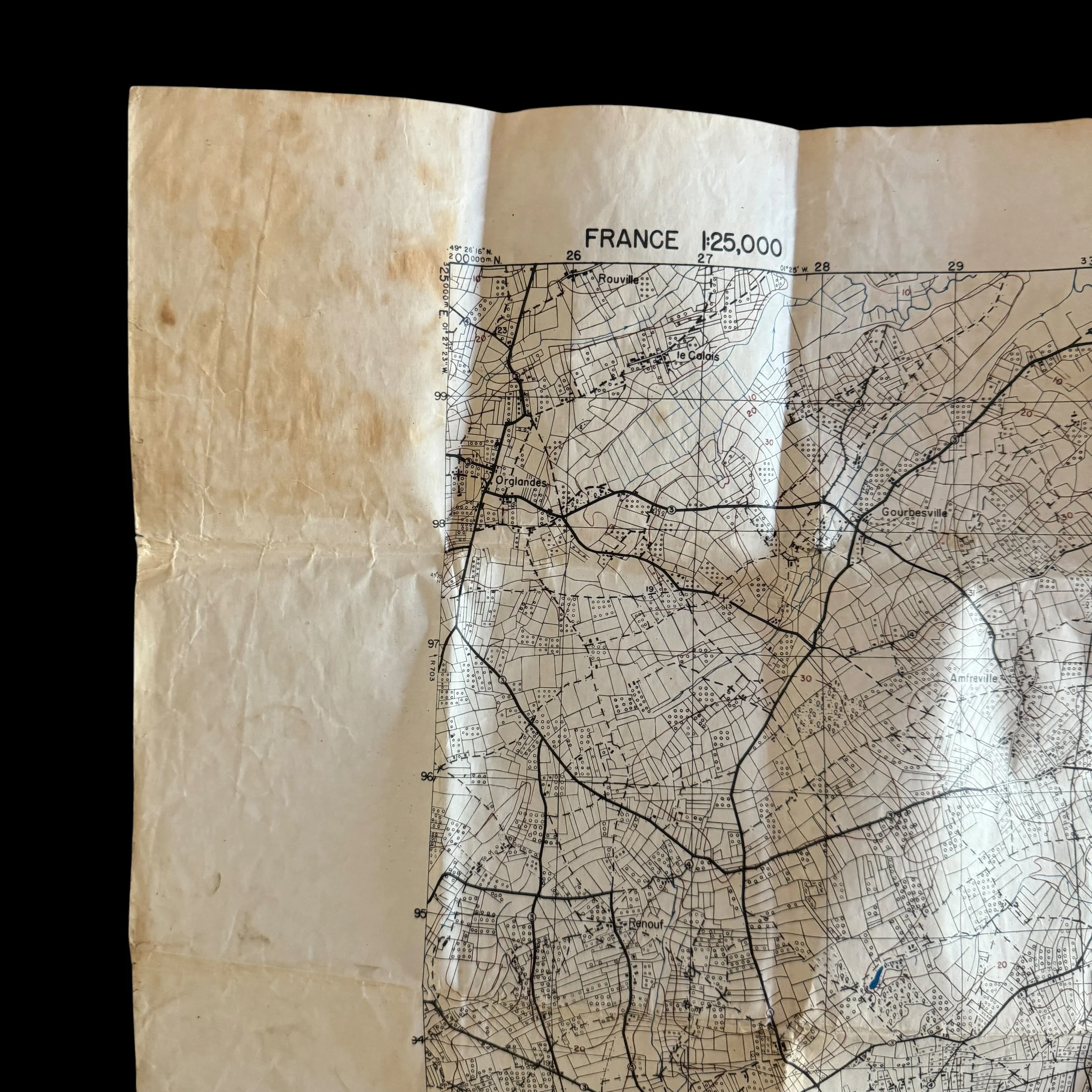
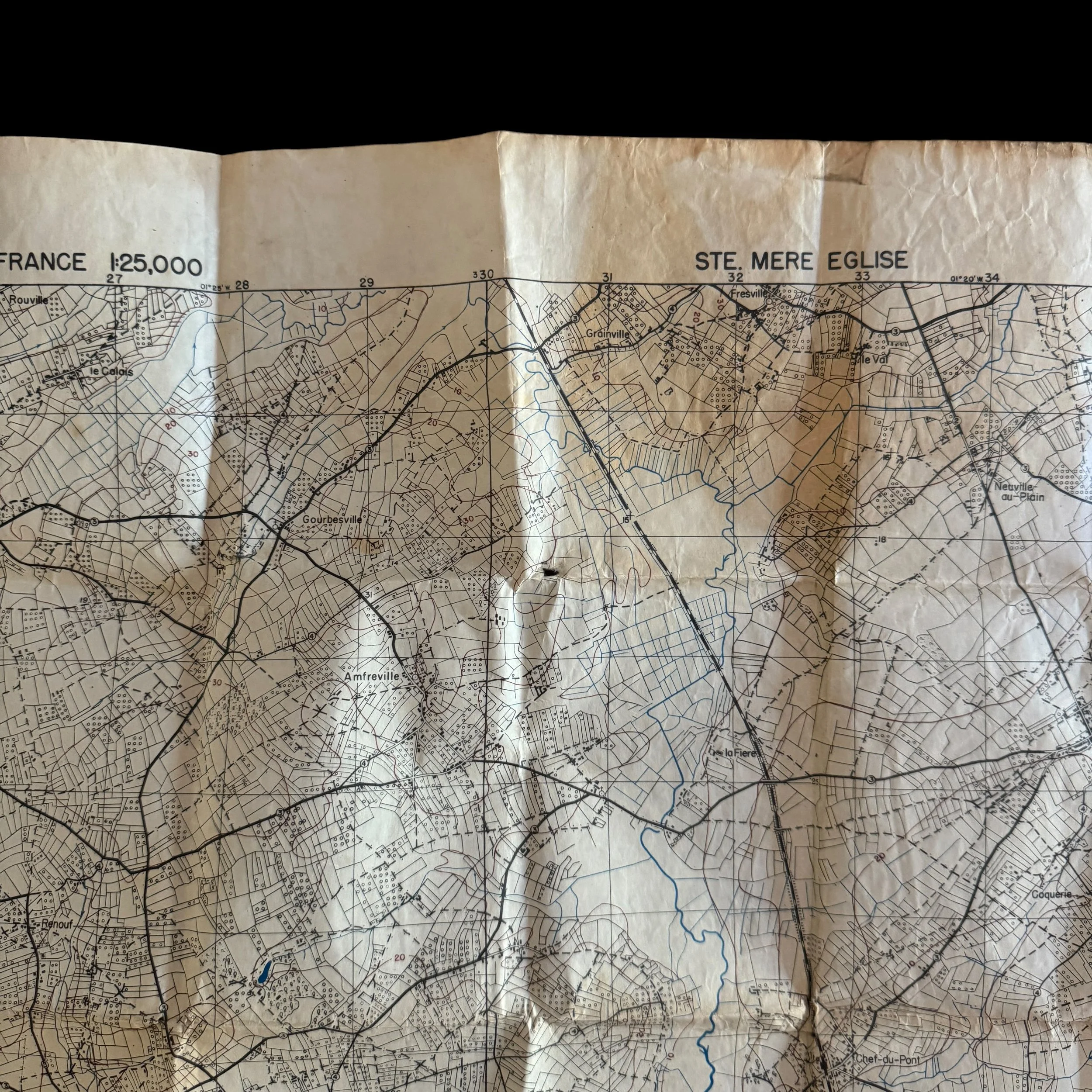
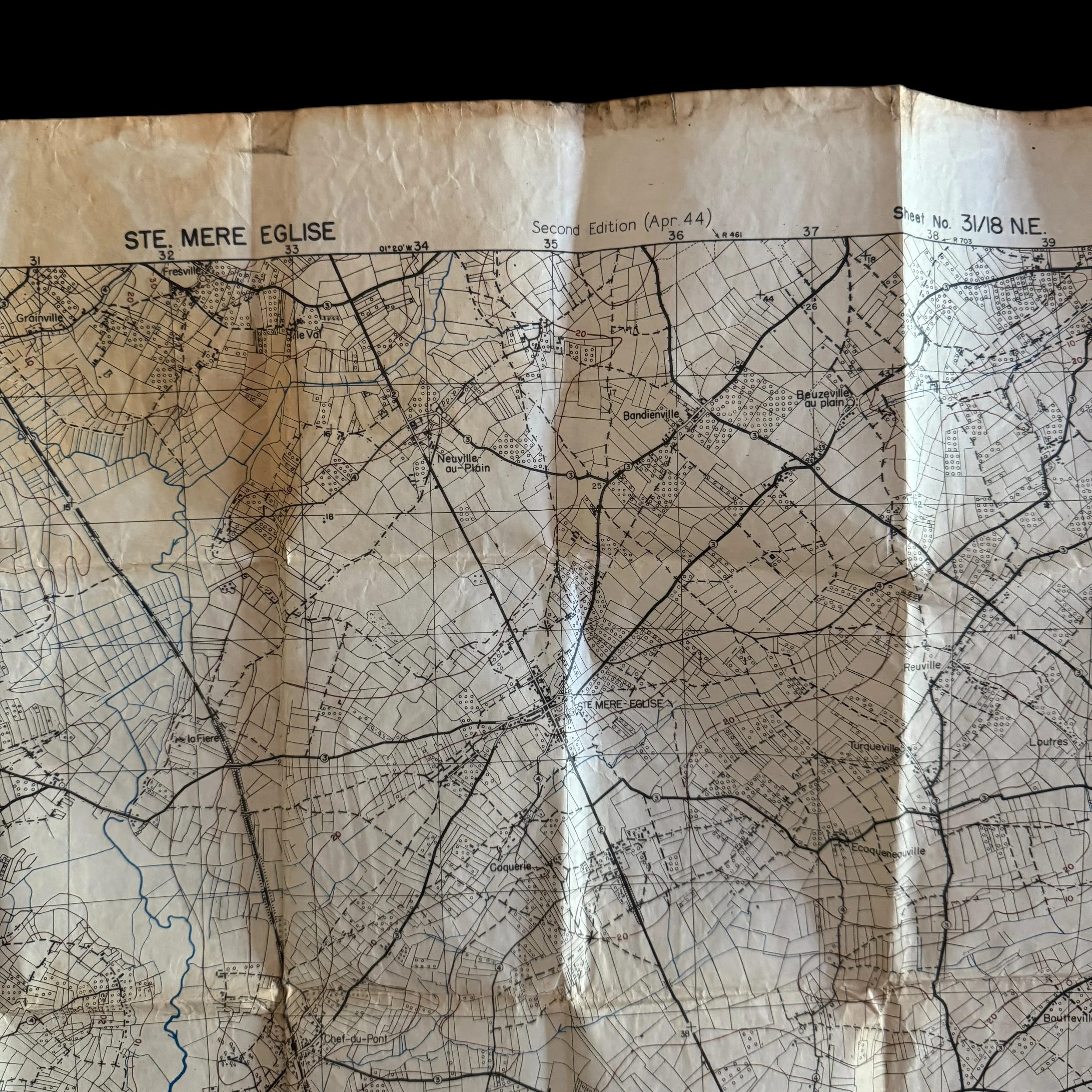
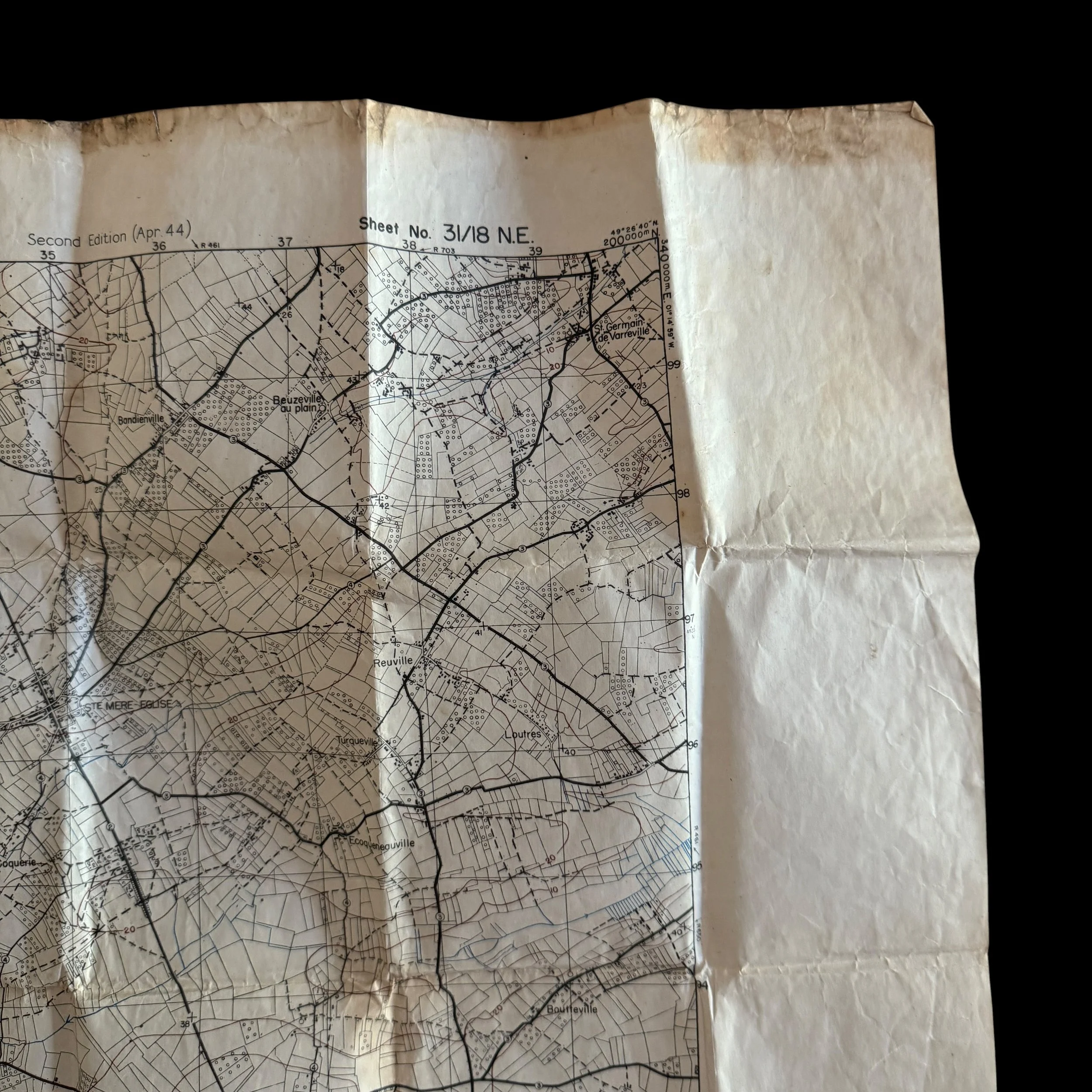
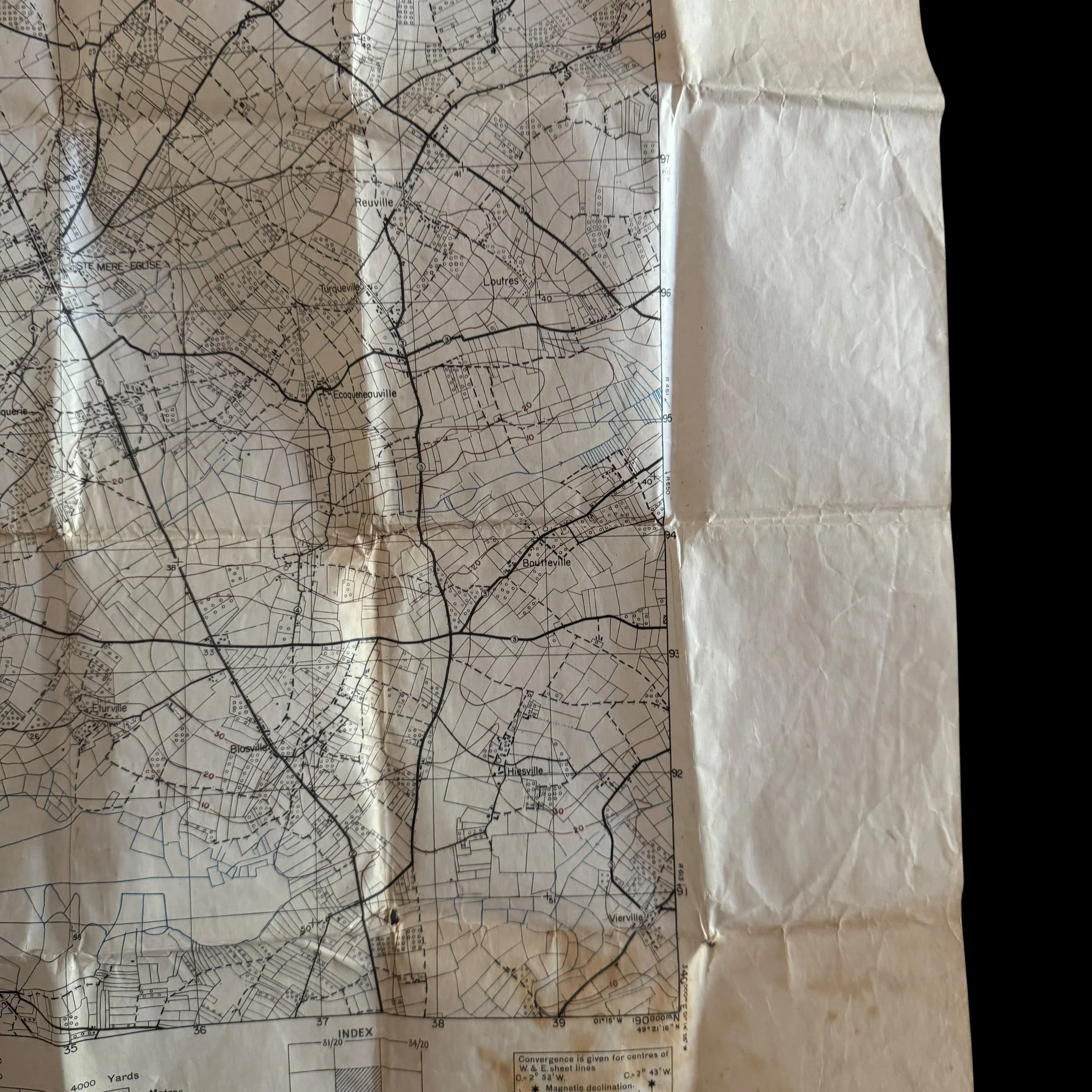
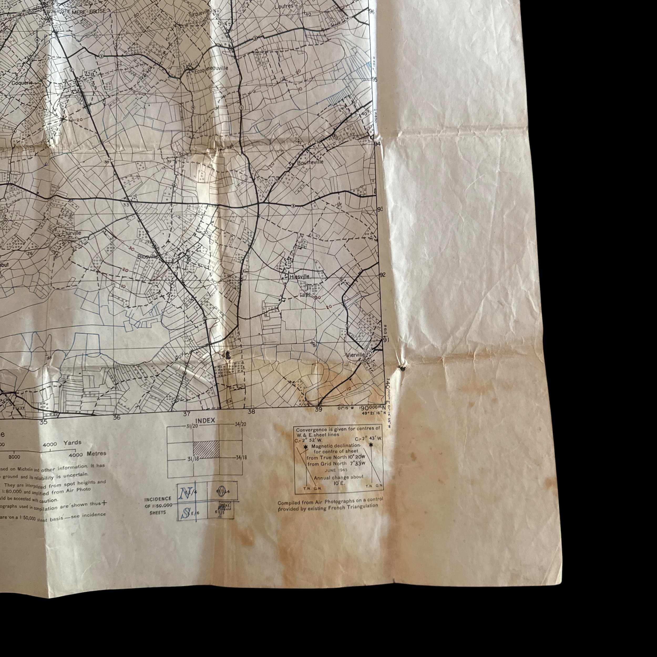
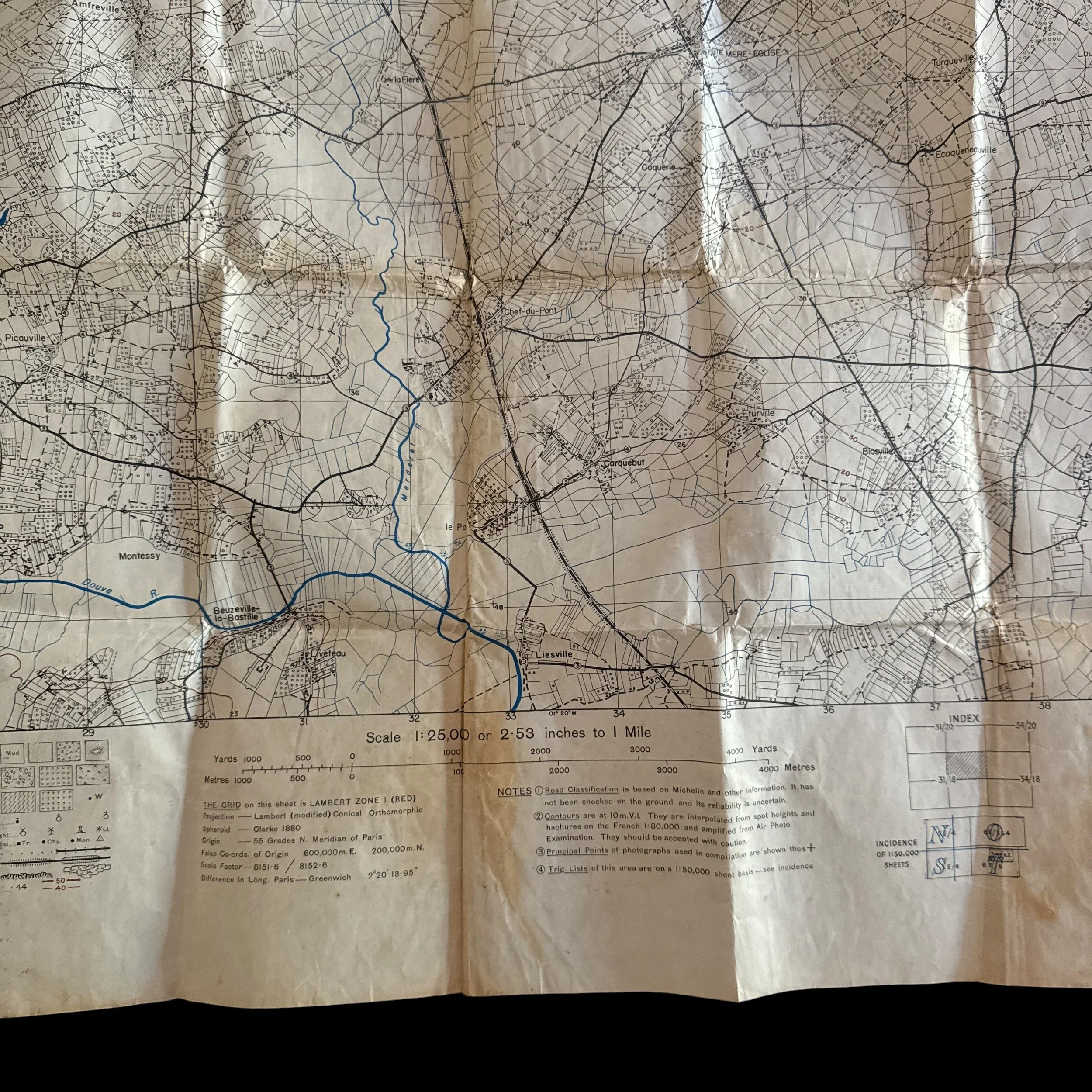
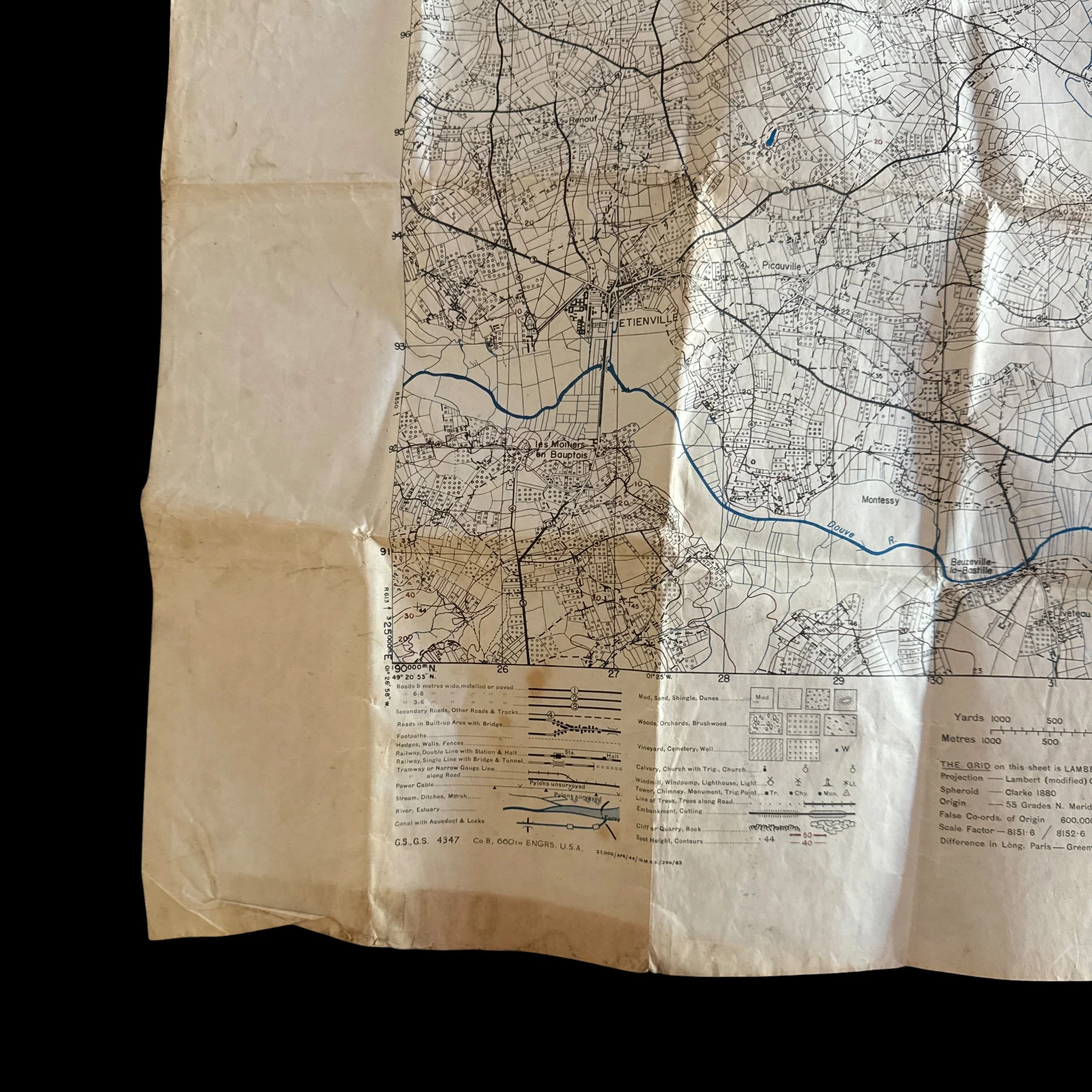
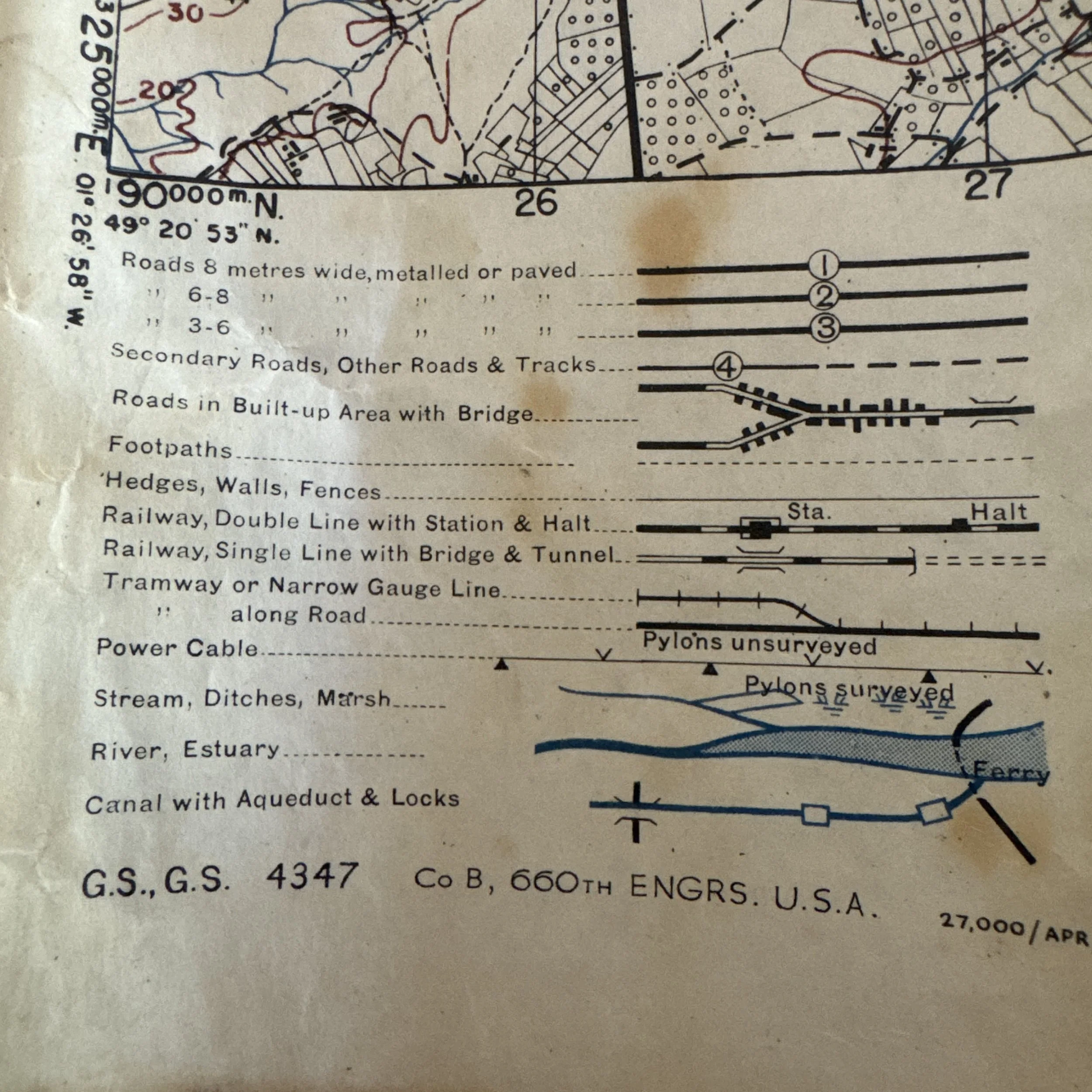
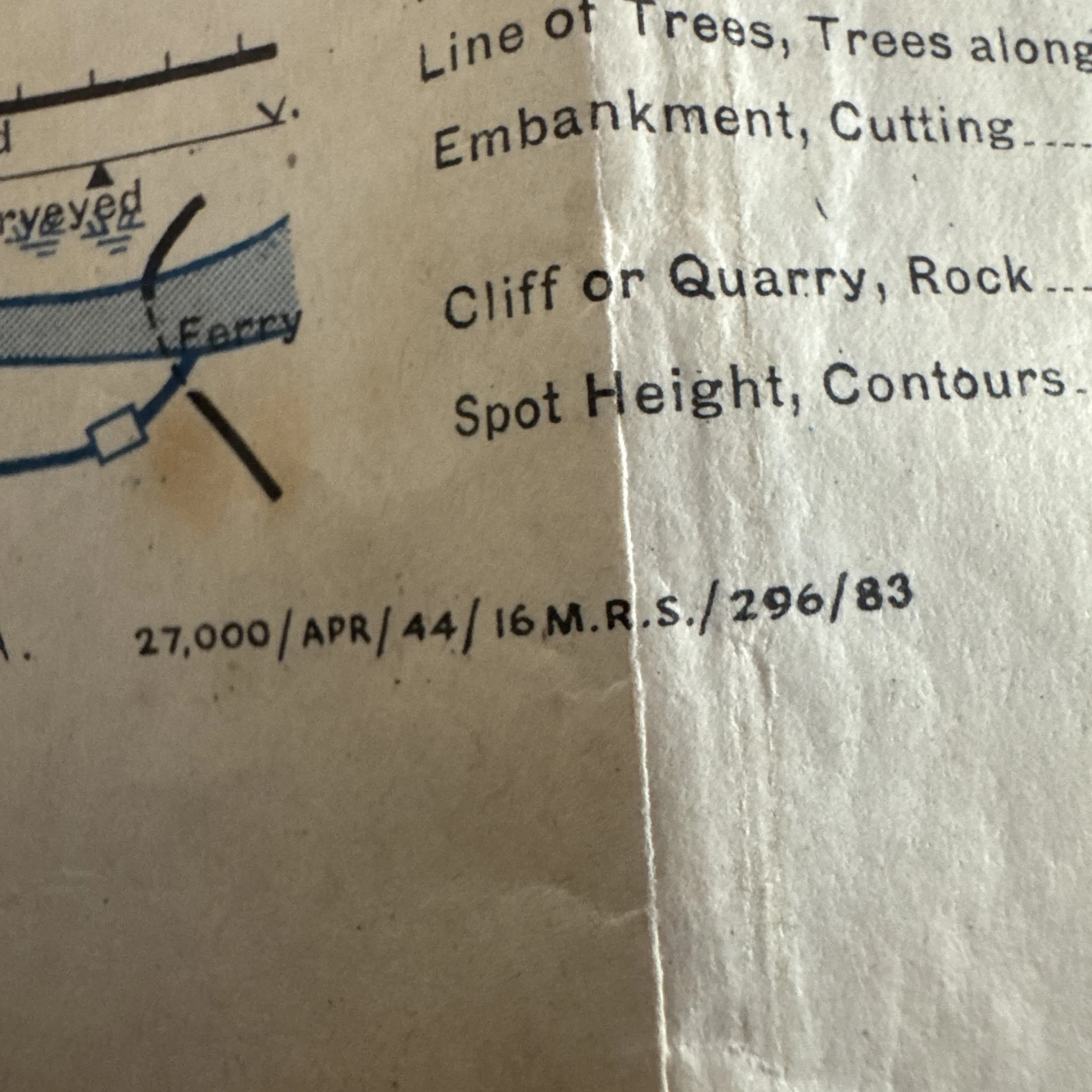
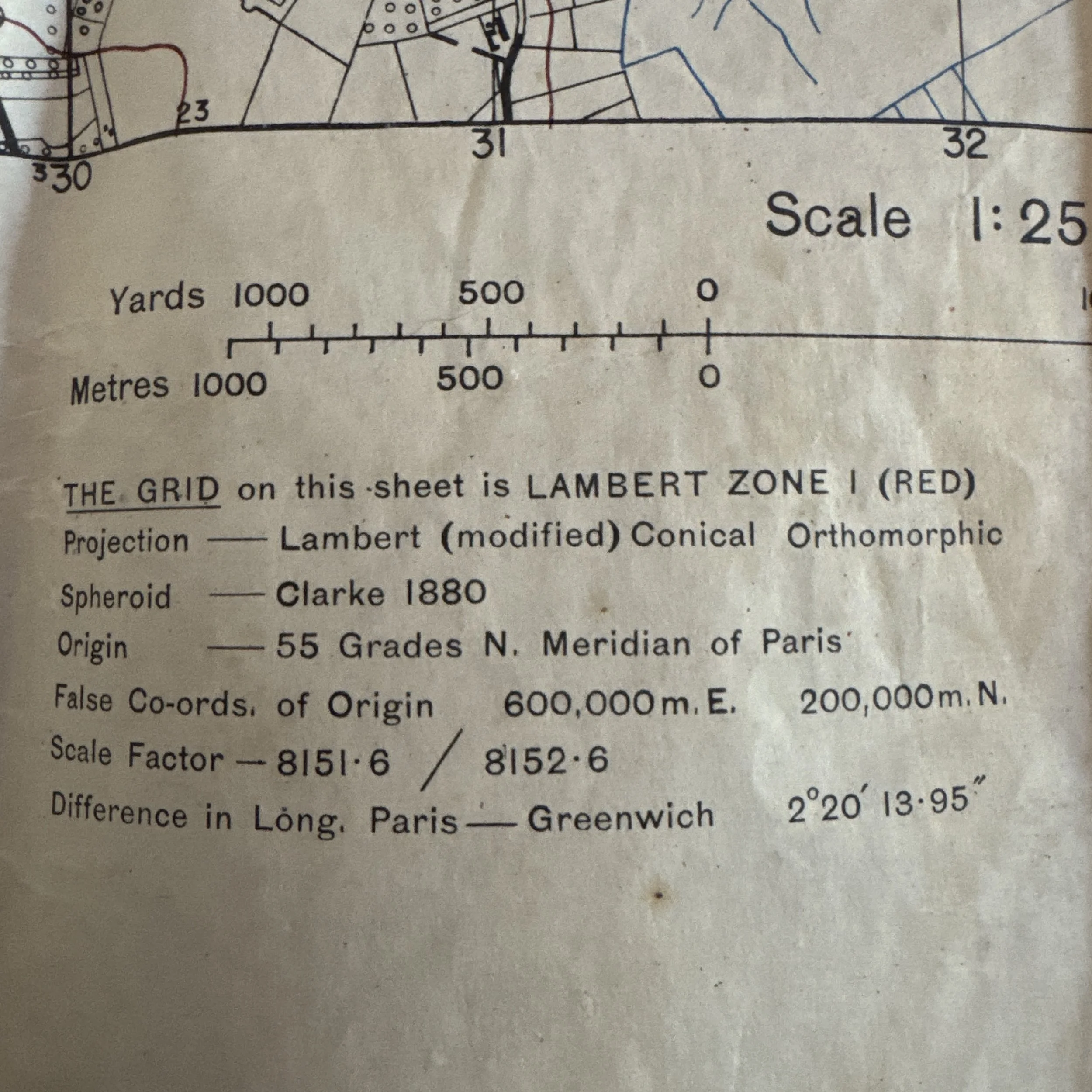
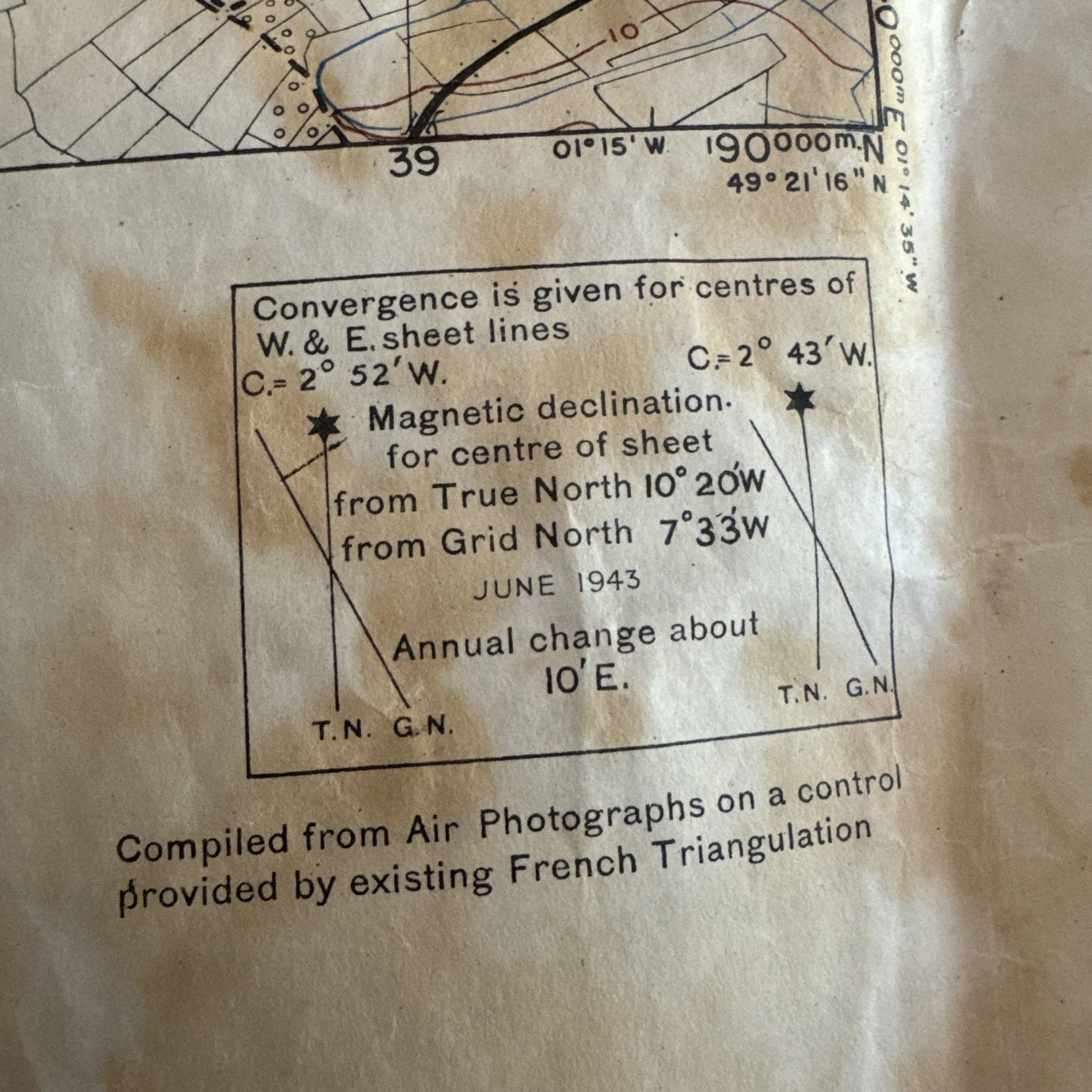
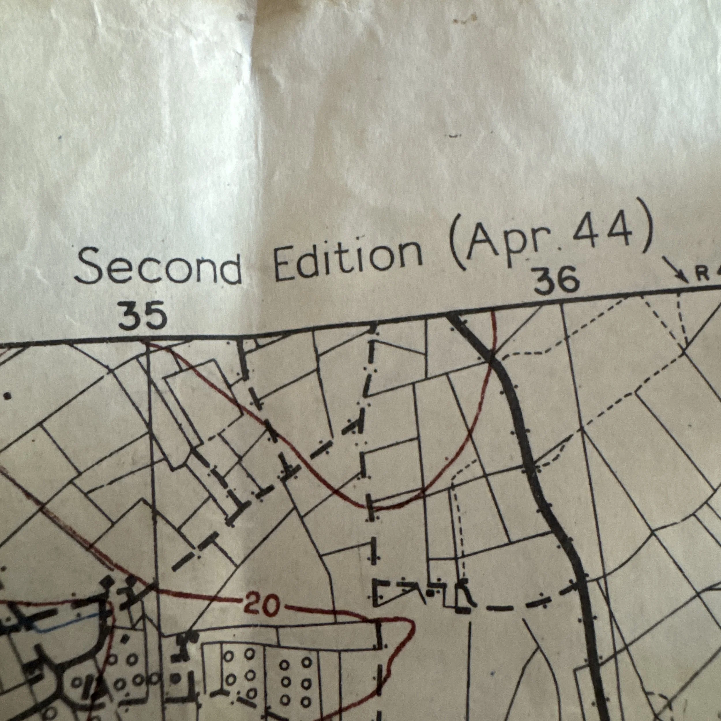
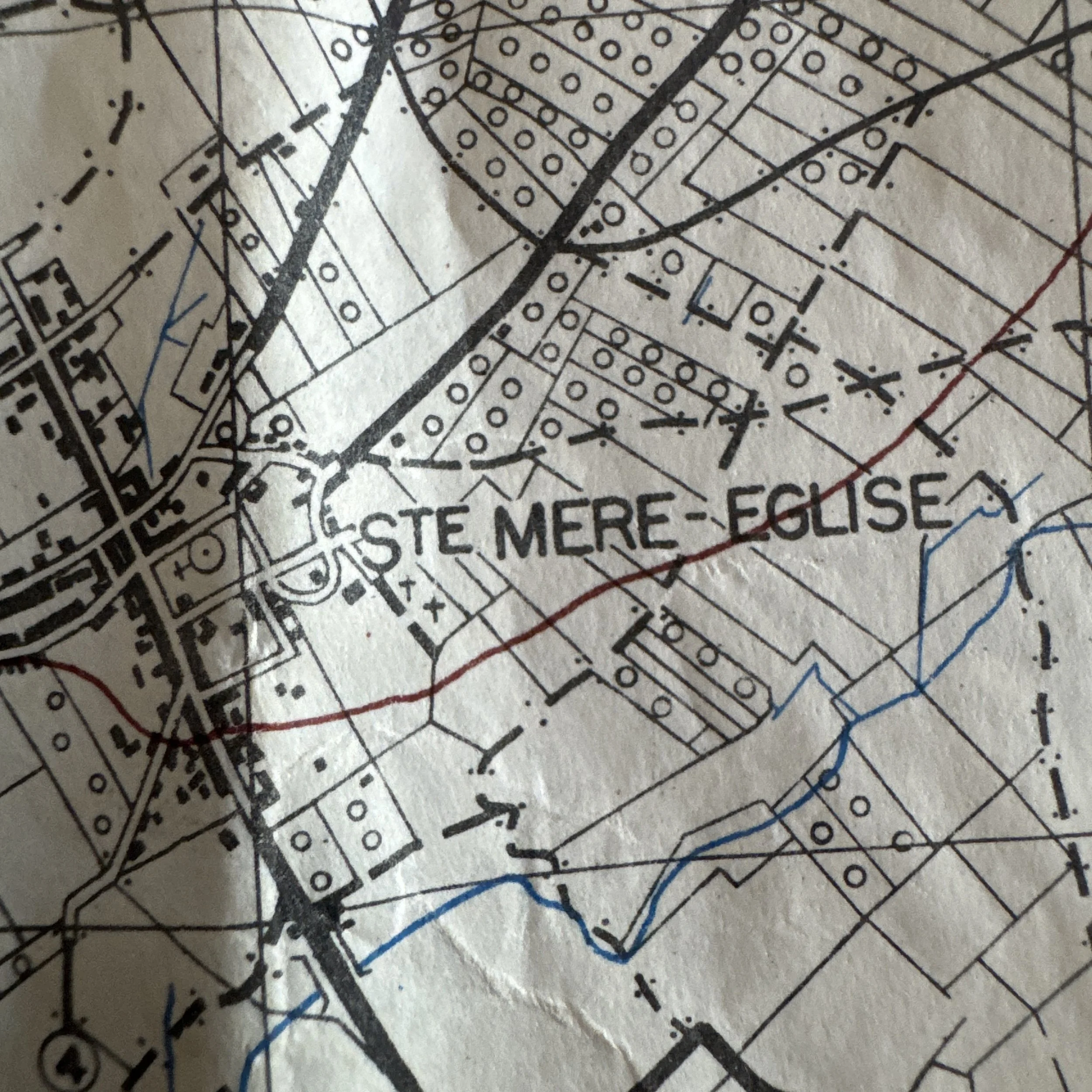
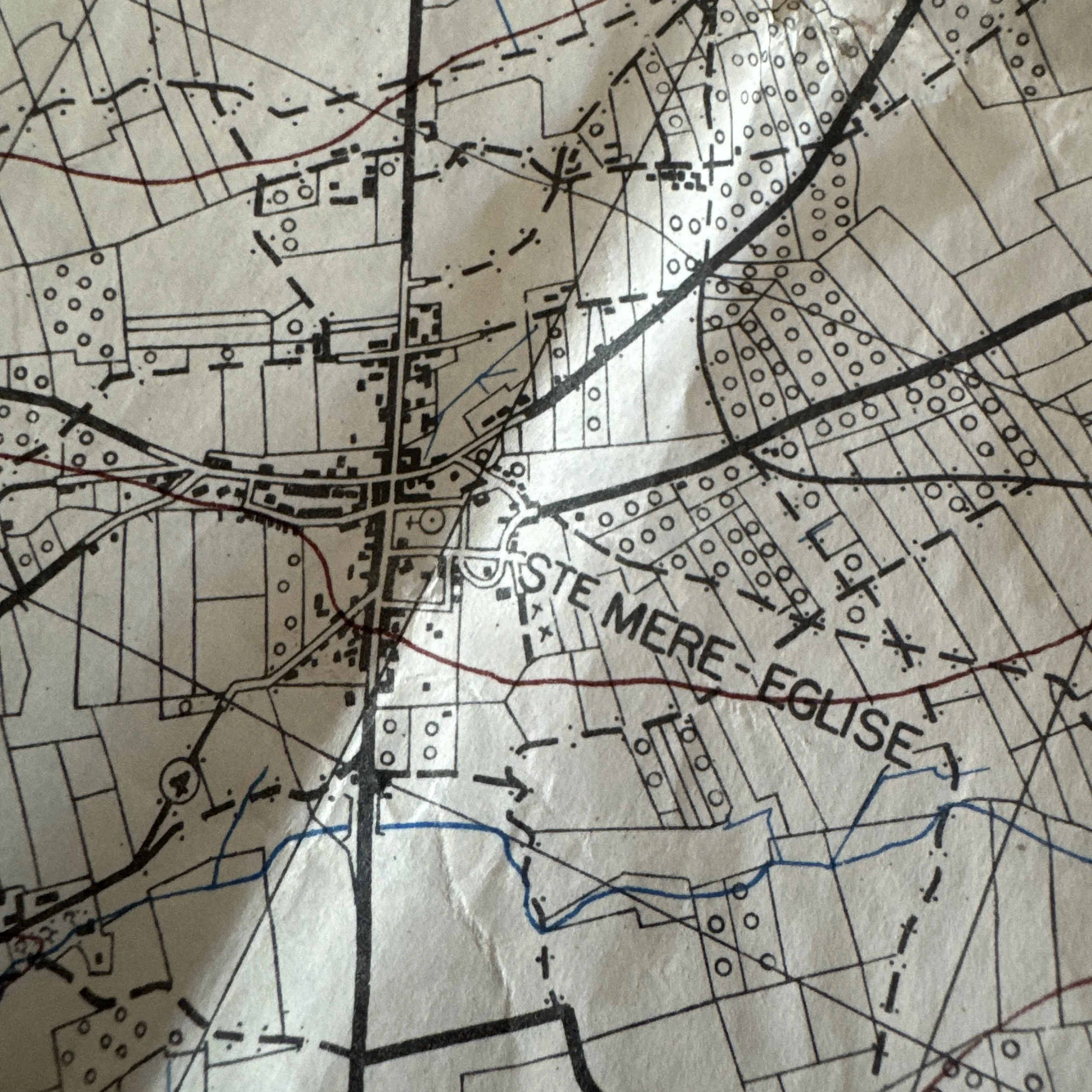
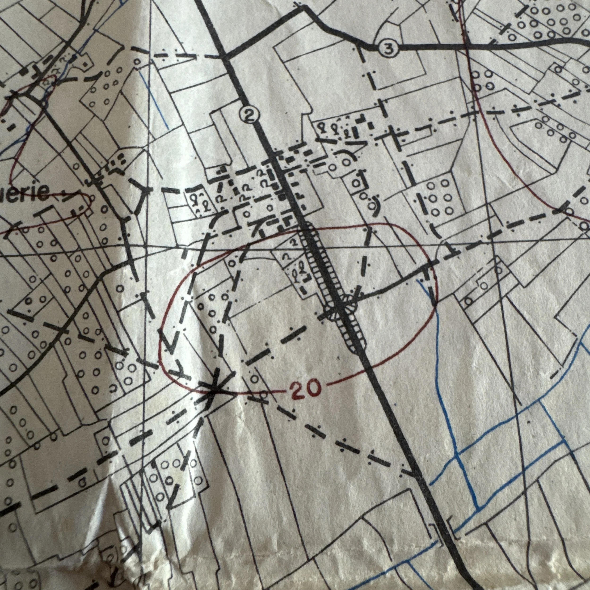
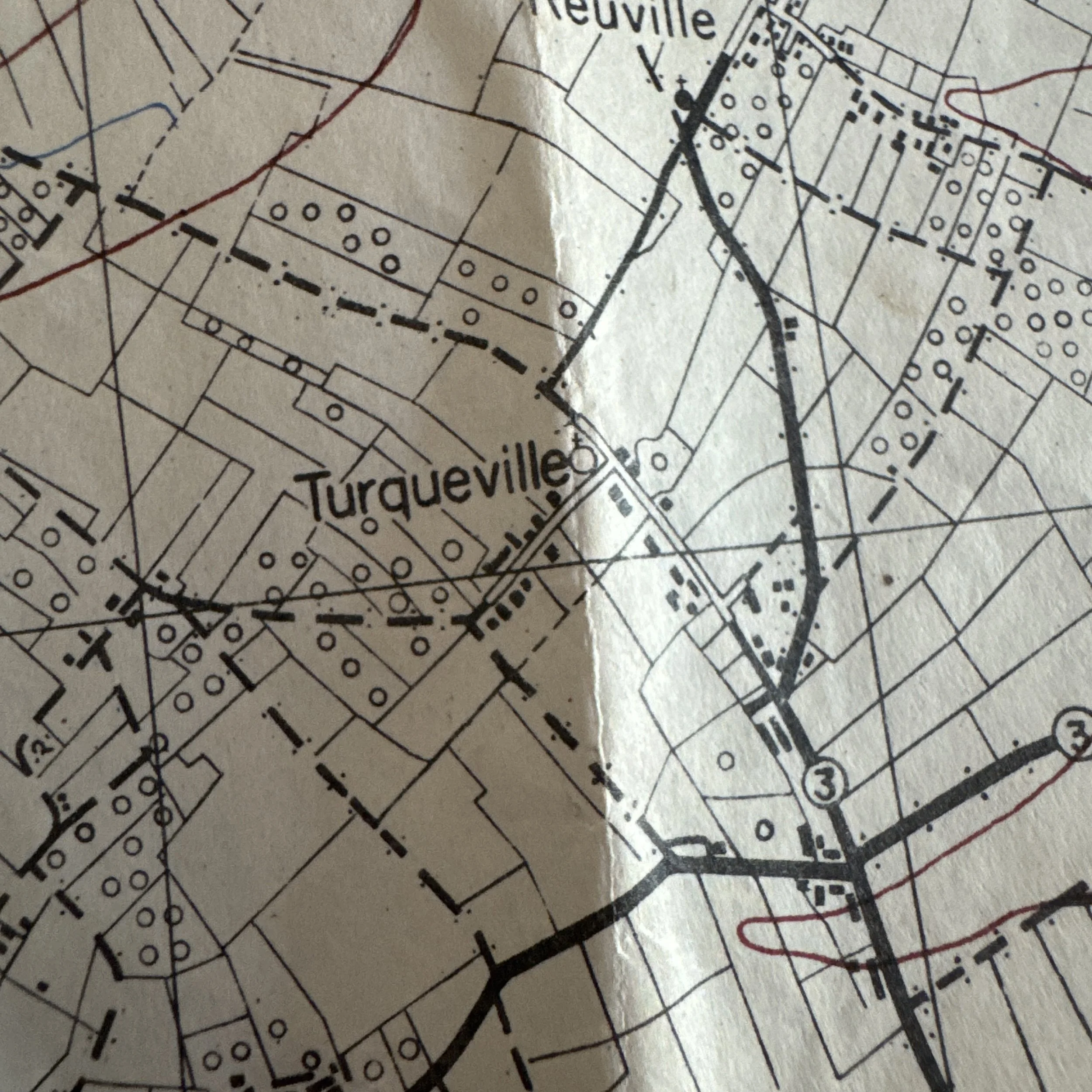
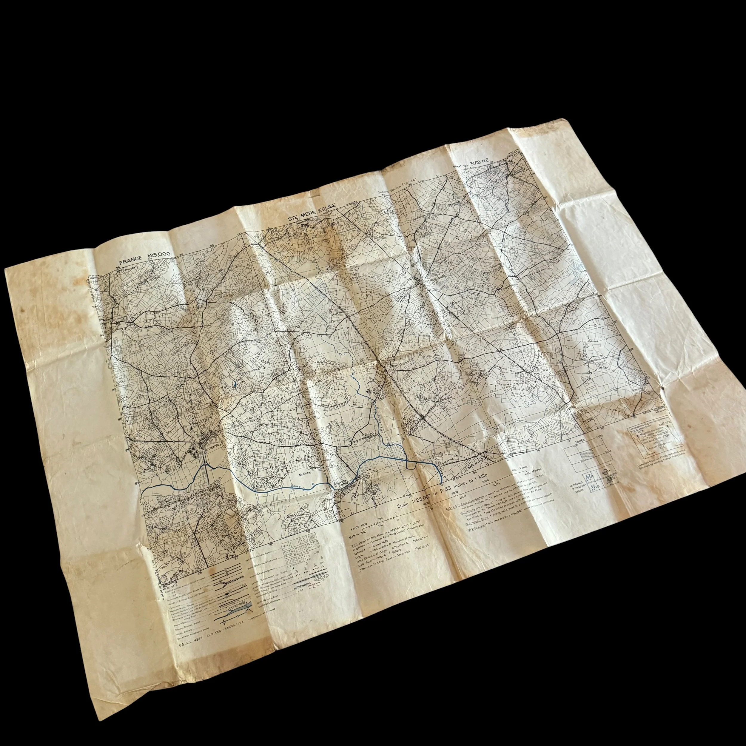
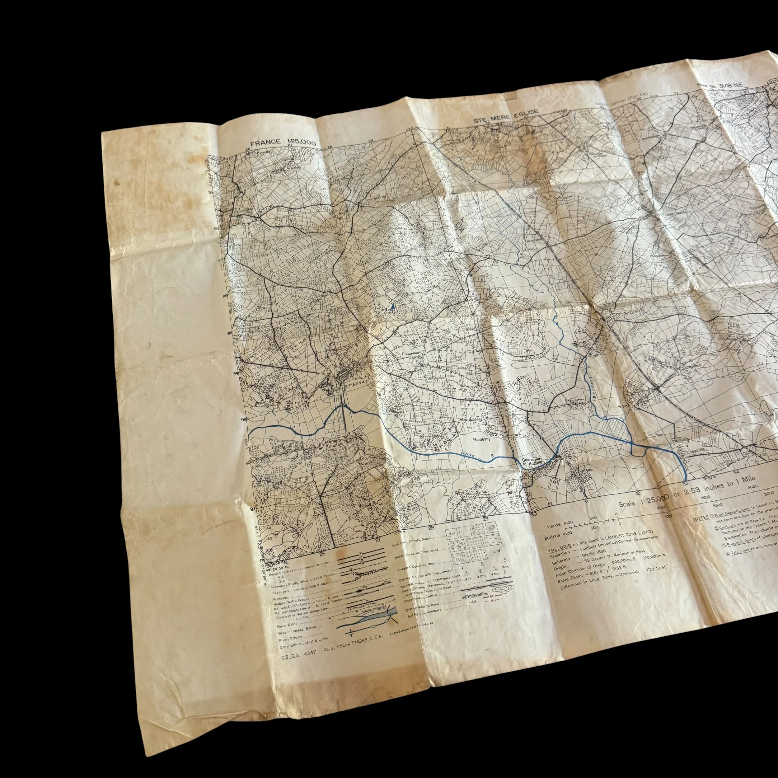
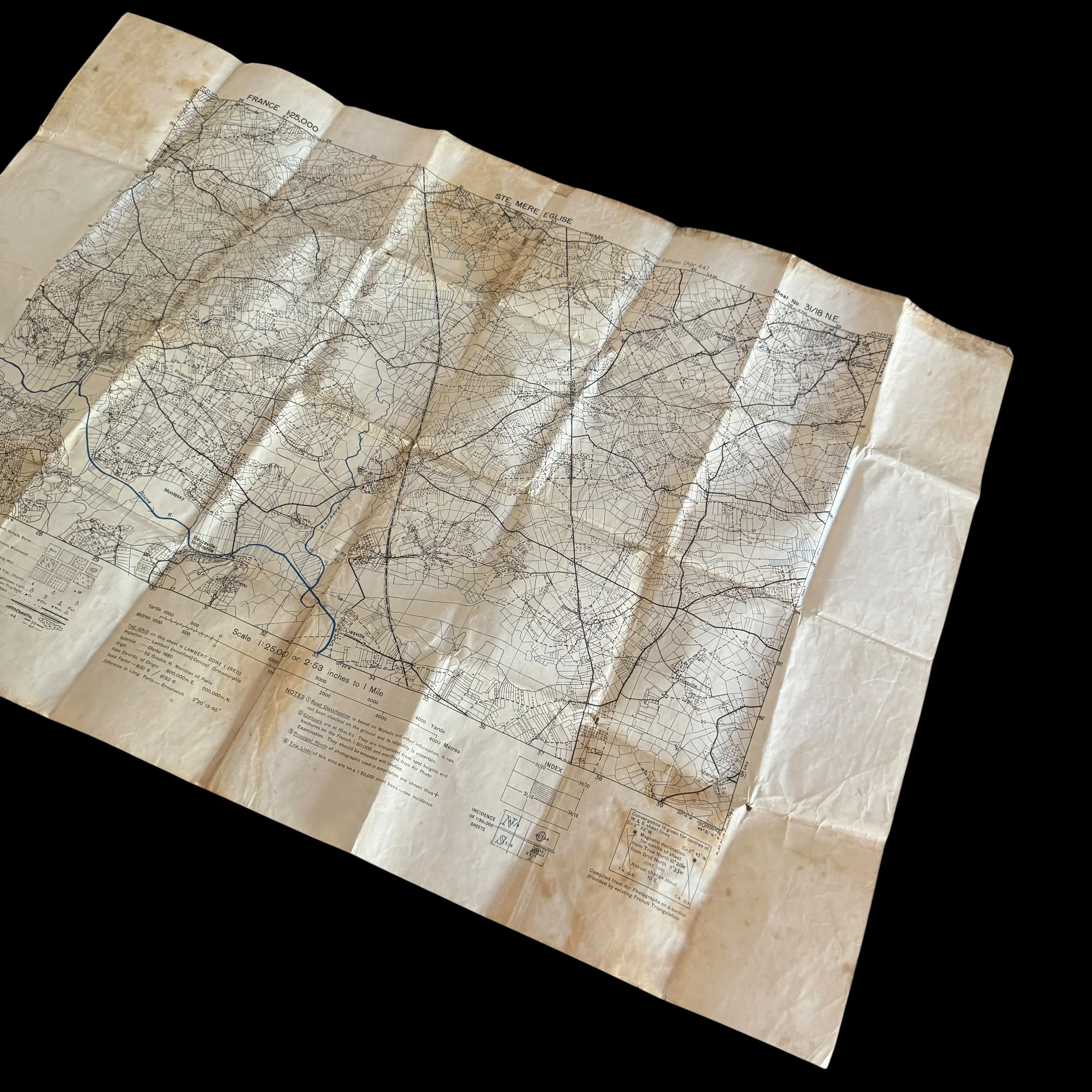
This historical D-Day artifact is an authentic, combat-carried U.S. Army tactical map sheet titled "STE. MERE EGLISE" from the France 1:25,000 scale topographic series. Officially designated as Geographical Section, General Staff No. 4347 (G.S., G.S. 4347), the sheet was prepared by Company B of the 660th Engineer Topographic Battalion and issued as a "Second Edition (Apr. 44)". The lower margin retains its distinct military print run code reading 27,000/APR/44/16 M.R.S./296/83. This code documents a restricted pre-invasion press run of 27,000 copies produced in April 1944 by the 16th Map Reproduction Section, created under strict security protocols specifically to equip combat officers immediately prior to staging for Operation Overlord.
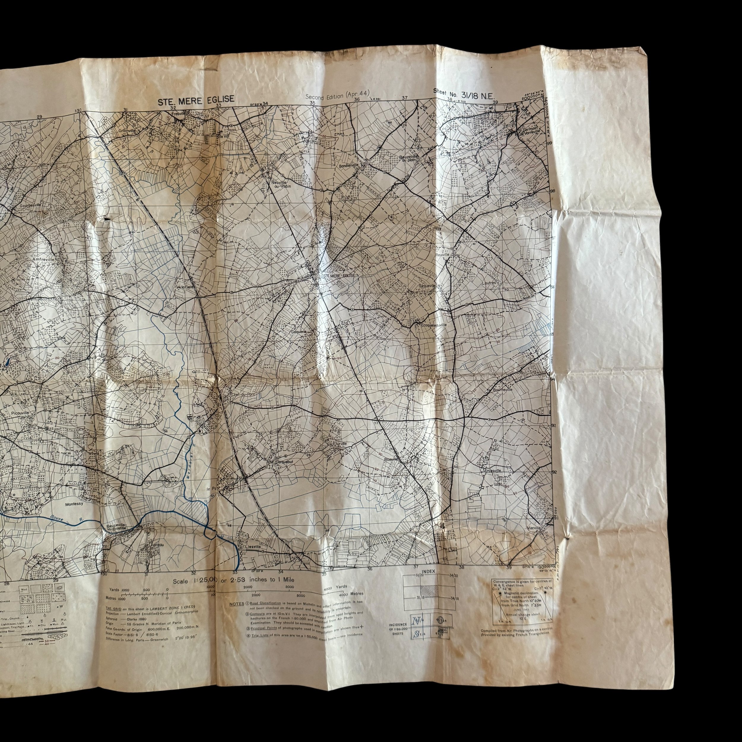
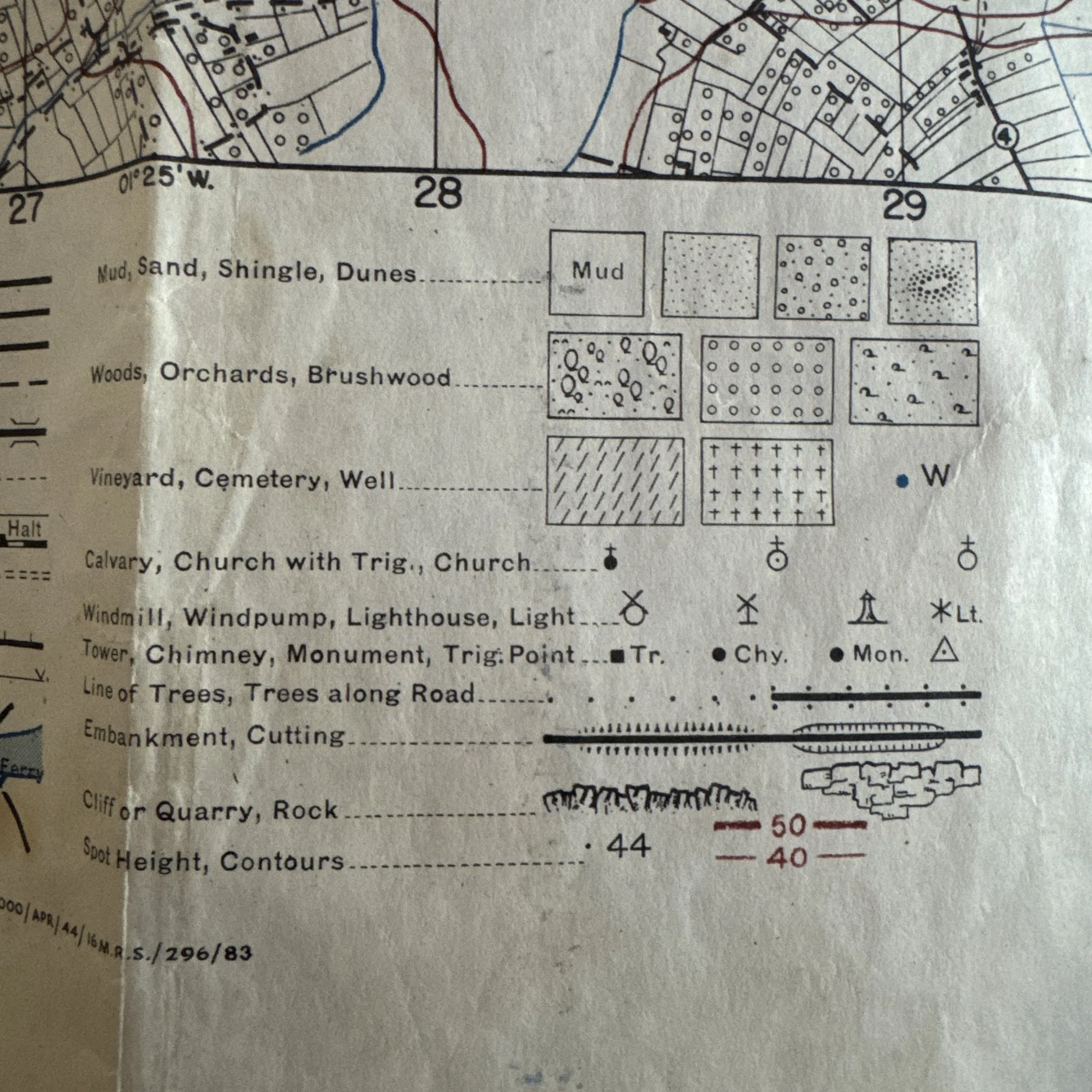
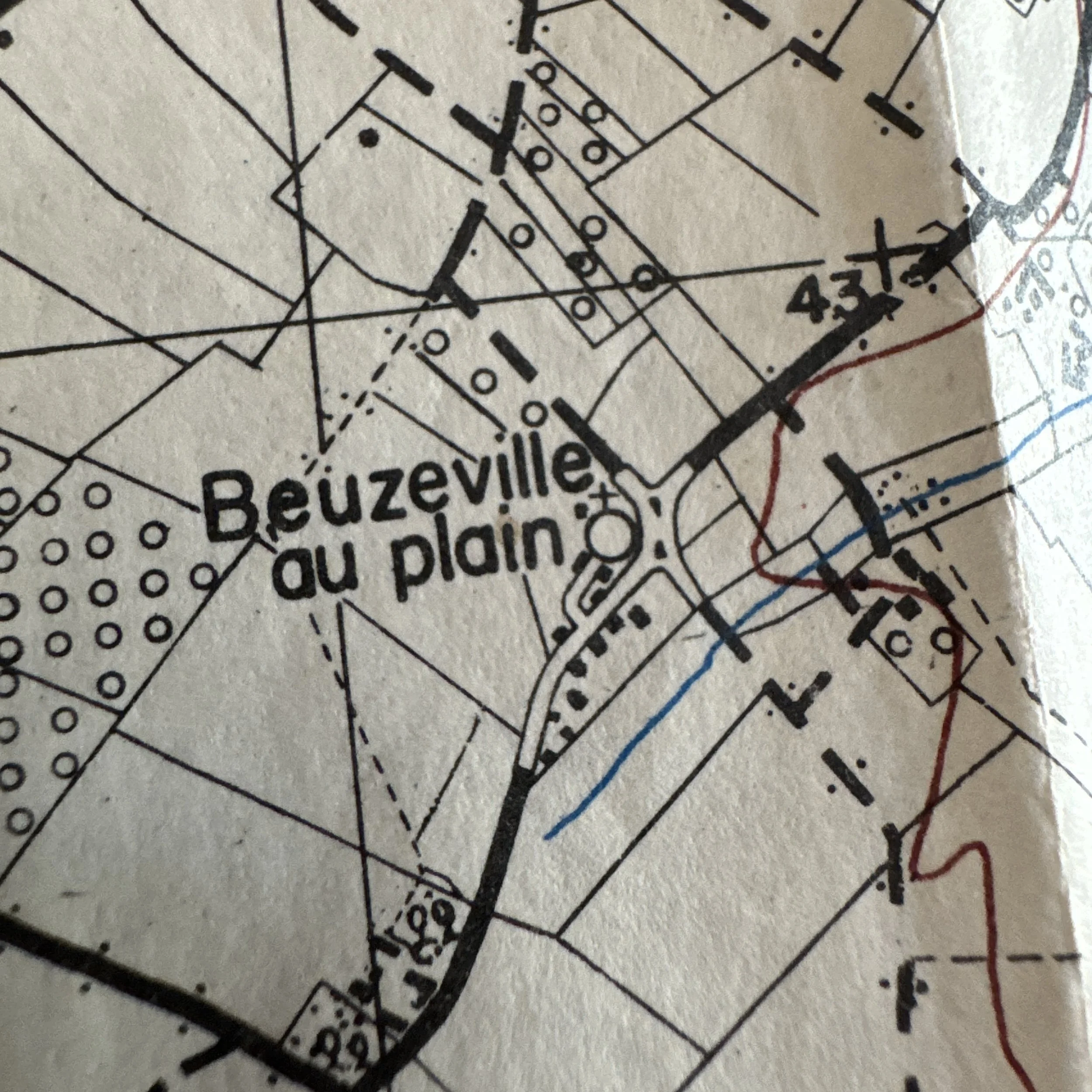
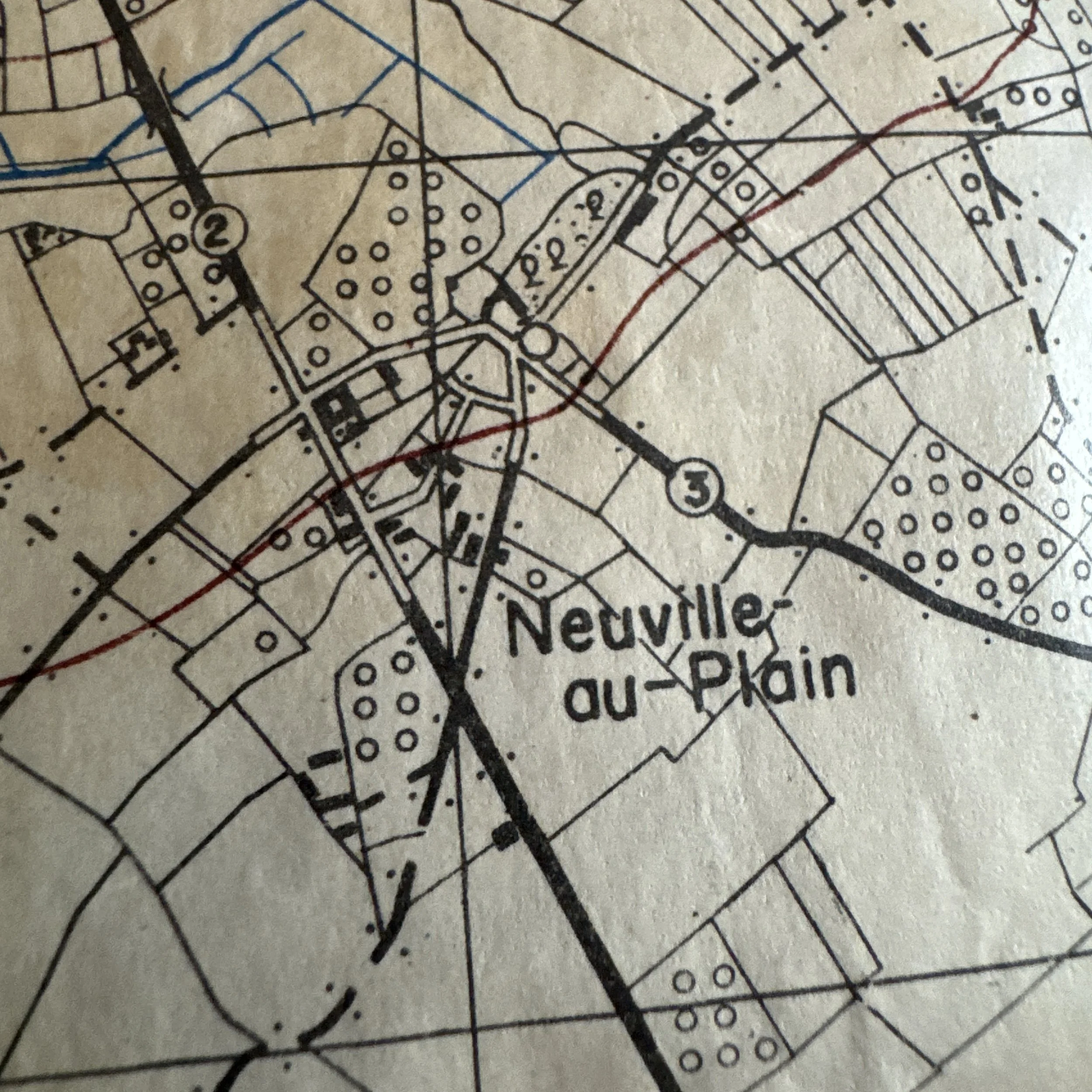
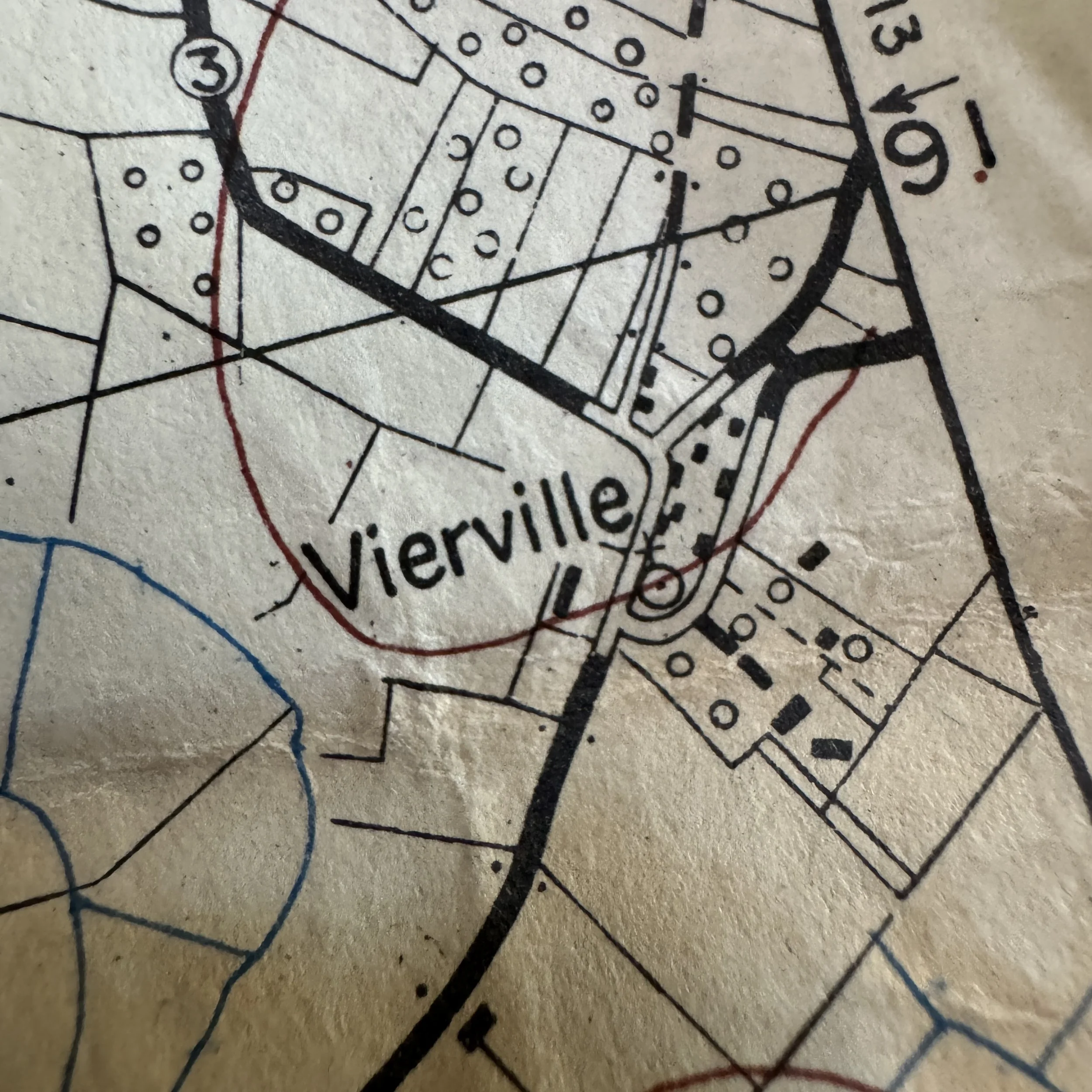
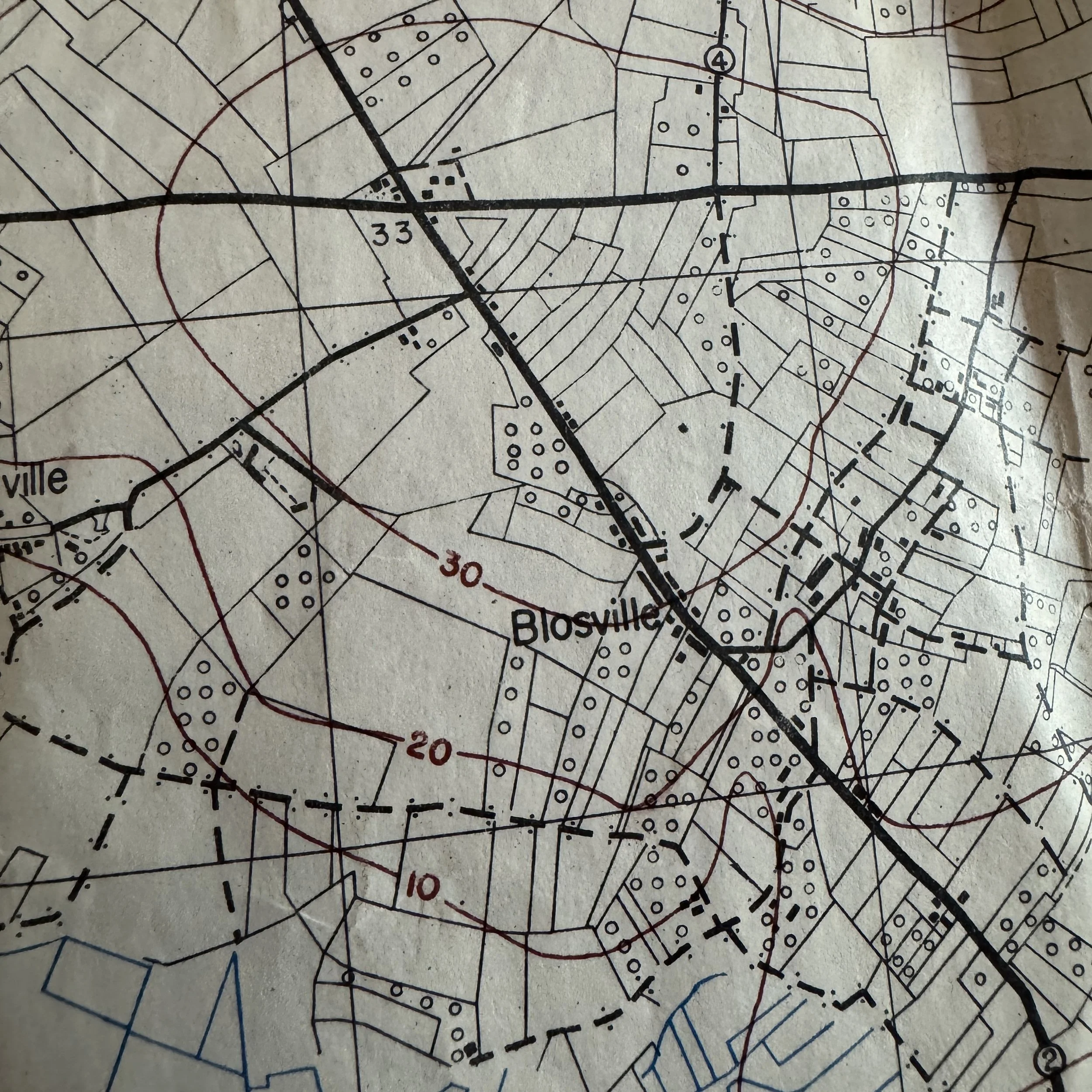
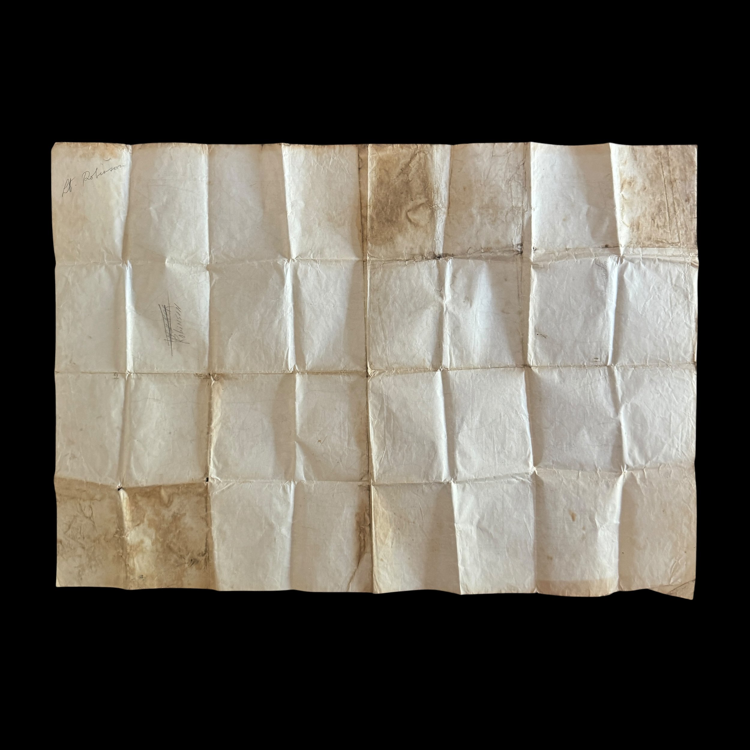
The physical condition of the sheet offers unmistakable visual evidence of heavy combat use in the Normandy sector. It displays tight multi-directional grid creases, soft frayed edges, and prominent moisture and perspiration staining running directly along the primary fold lines. This specific wear pattern is consistent with a map folded tight and stowed inside an M1942 paratrooper jump jacket pocket or leather map case during airborne assault operations in wet marshland environments. Printed at the highly detailed 1:25,000 scale—far more precise than the broader 1:50,000 maps issued to higher headquarters—this sheet was designed for platoon, company, and forward observer officers leading men on the ground. The legend provides crucial symbols for navigating Normandy's countryside, including secondary roads between 3 and 8 meters wide, footpaths, power cables, spot elevations, and the intricate network of French hedgerows, stone walls, and field boundaries.
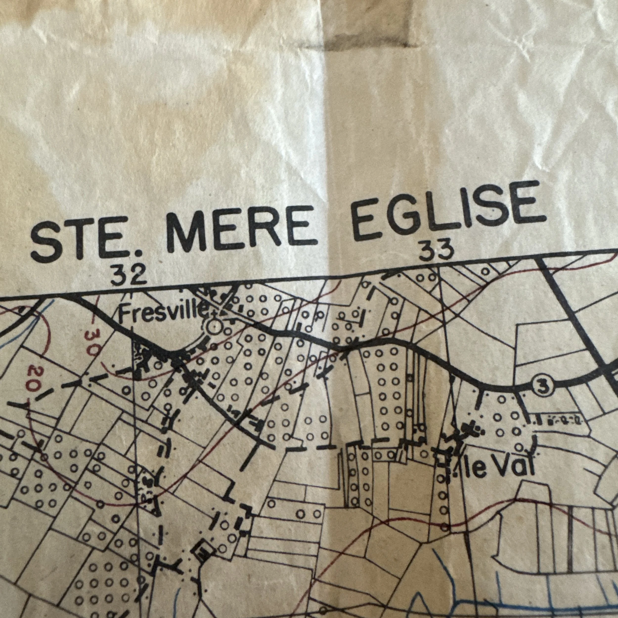
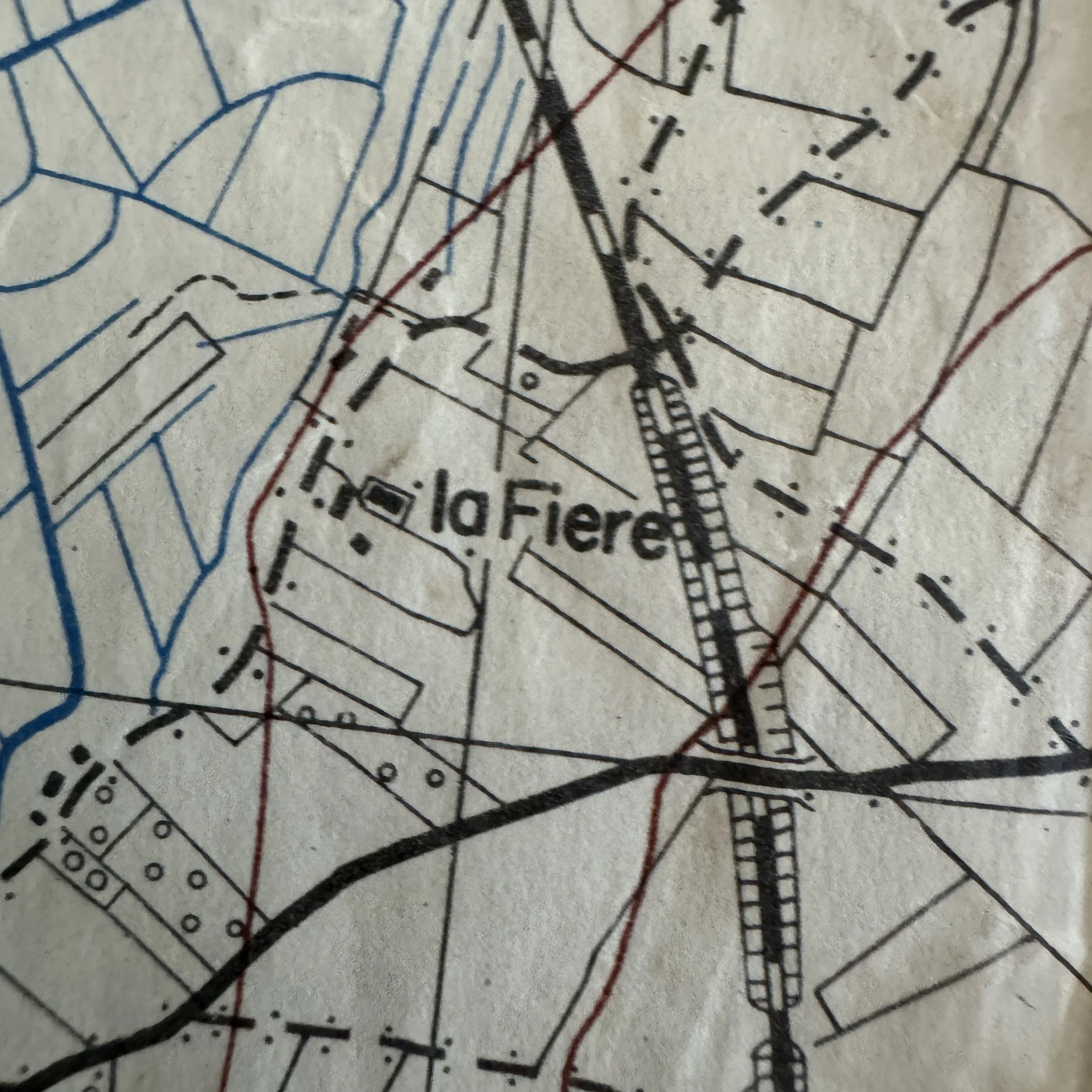
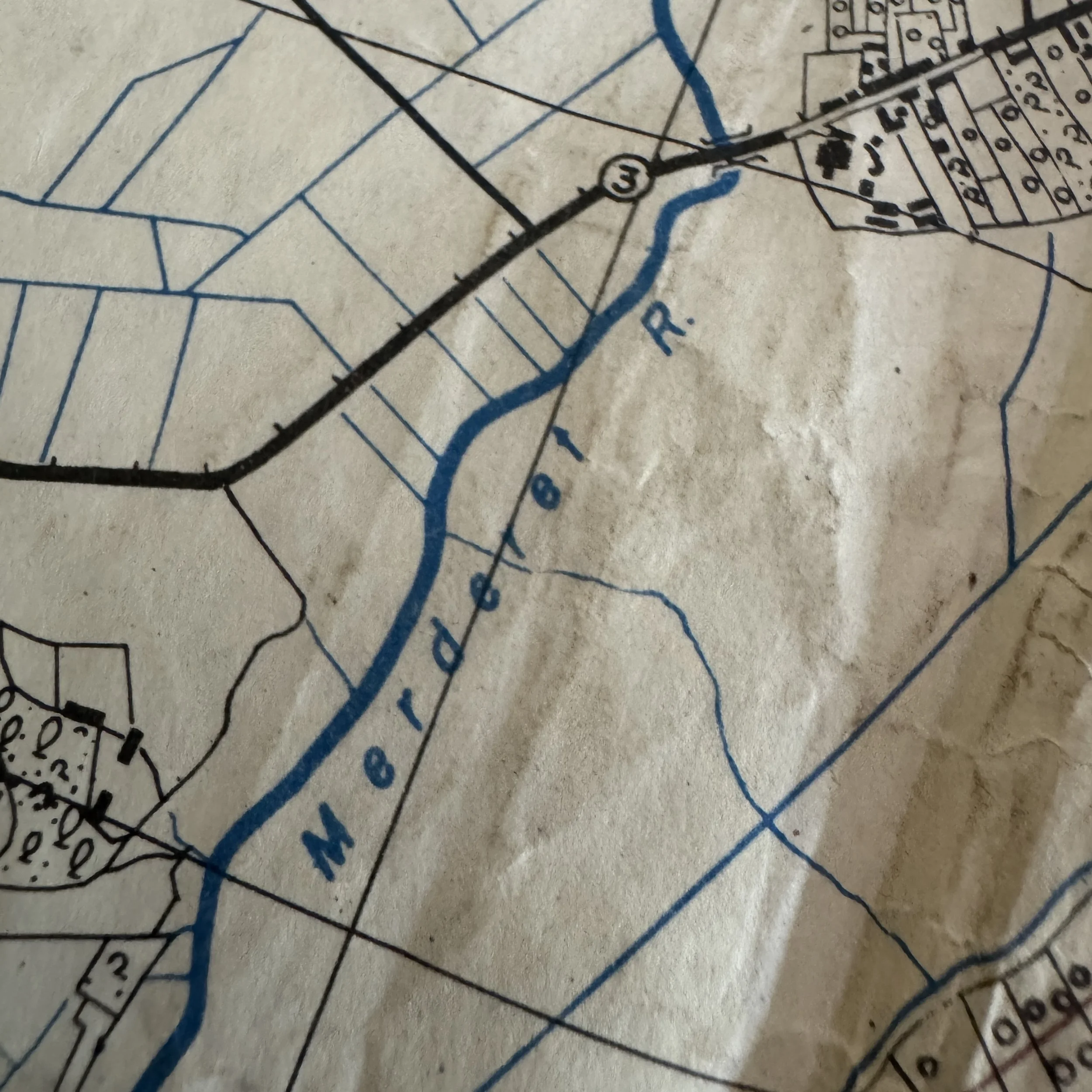
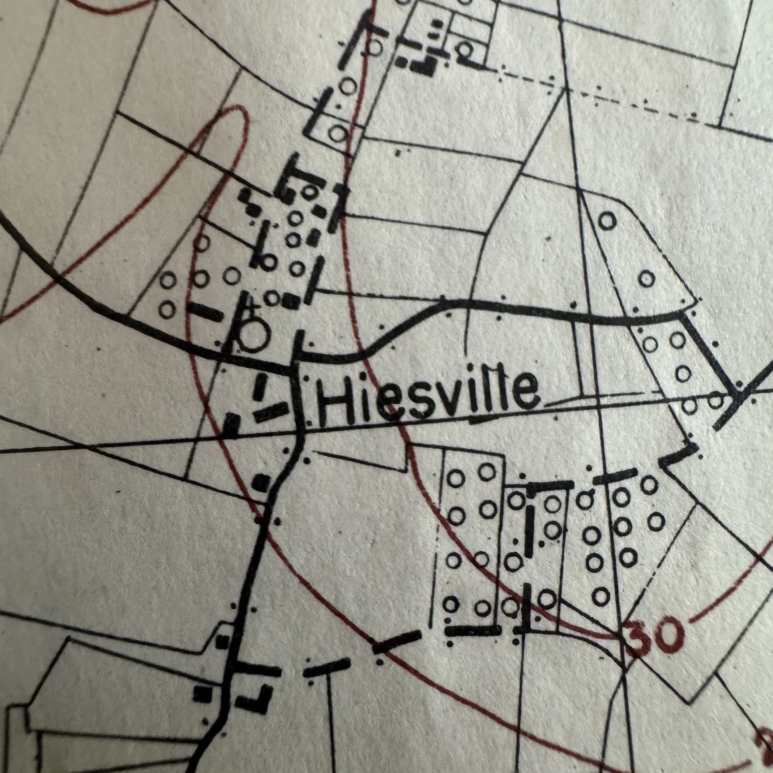
The geographical coverage of this map encompasses the most legendary and fiercely contested ground of the Normandy invasion. At its heart lies the strategic crossroads town of Sainte-Mère-Église, where U.S. Airborne forces severed the main N13 highway to prevent German armored counterattacks against the beachheads. The map vividly depicts the winding course of the Merderet River, which German forces had artificially flooded to form deep, impassable marshes that drowned numerous night-dropped paratroopers on D-Day. Spanning this river is the critical bridge and causeway at La Fière, the focal point of a ferocious four-day battle where American paratroopers held off repeated German armor and infantry attacks. Surrounding sectors such as Fresville and Le Val to the north define the frontline defensive perimeters established against German.
Hand-attributed to "Lt. Robinson," historical unit rosters indicate three airborne officers who operated within this map sheet during the invasion. The strongest attribution is 2nd Lt. Frank V. Robinson of Company I, 3rd Battalion, 507th Parachute Infantry Regiment, 82nd Airborne Division. The 507th PIR suffered a notoriously scattered drop into the inundated Merderet valley around Drop Zone T, forcing its officers to navigate the exact flooded fields shown here to fight for La Fière causeway and defend Sainte-Mère-Église. Alternatively, 1st Lt. James E. Robinson served with 82nd Airborne field artillery and support units landing at Drop Zone N; forward observers and artillery officers relied heavily on these 1:25,000 grid maps to coordinate immediate defensive fire missions around the town. Finally, 1st Lt. William C. Robinson of the 101st Airborne's 506th PIR landed near Hiesville on Drop Zone C; due to night drop scattering, many 101st paratroopers landed in 82nd territory and fought side-by-side with them around Sainte-Mère-Église.
For military collectors and historical institutions, original D-Day combat-carried jump maps represent the pinnacle of WWII airborne artifacts. This sheet combines pre-invasion April 1944 printing provenance with direct depiction of iconic assault sectors, verified field wear, and a direct link to an airborne officer who fought through the opening days of Operation Overlord.