VERY RARE! WWII 1944 D-Day Operation Overlord Utah Beach U.S. 4th Infantry Division “STE. MARIE-DU-MONT” Combat Assault Map
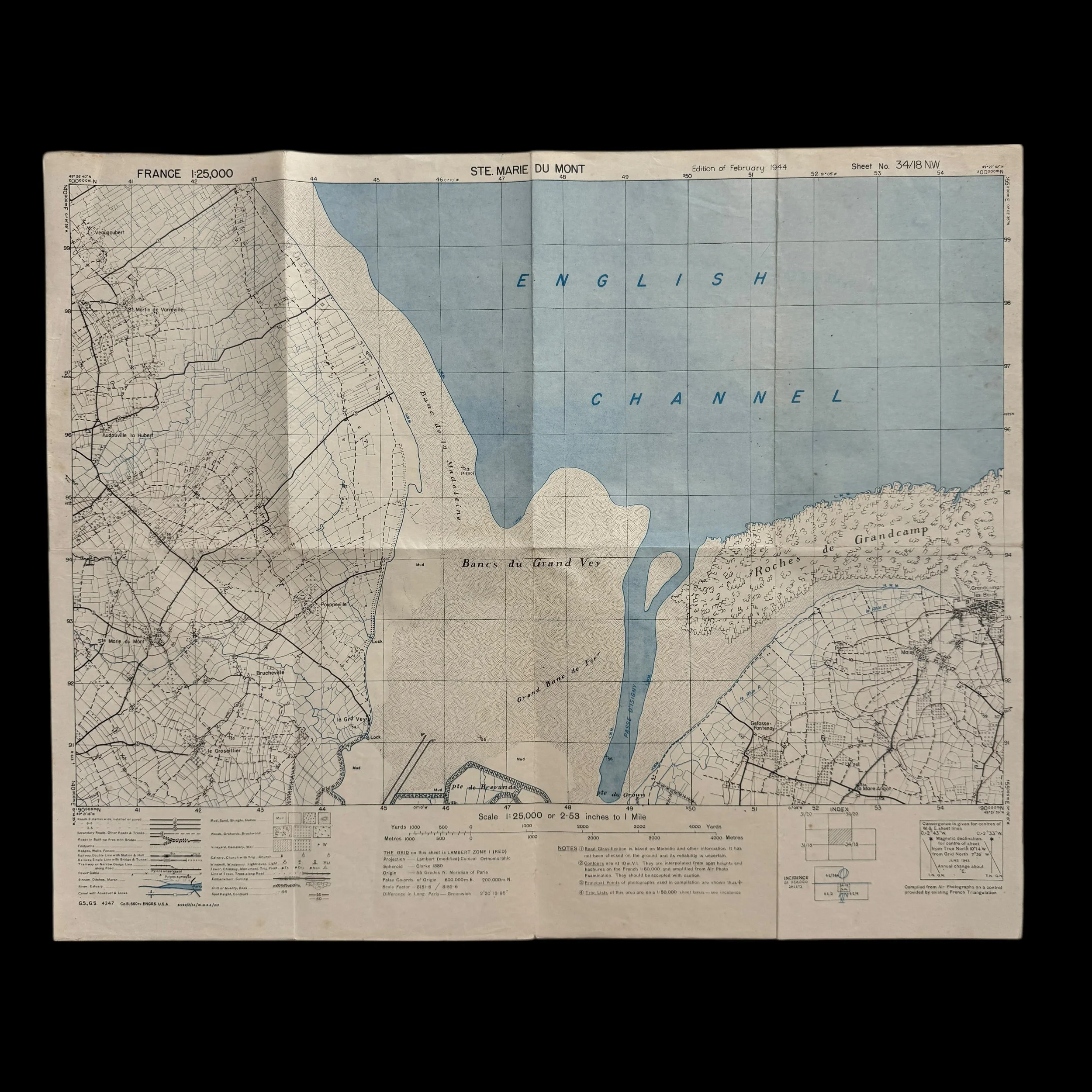
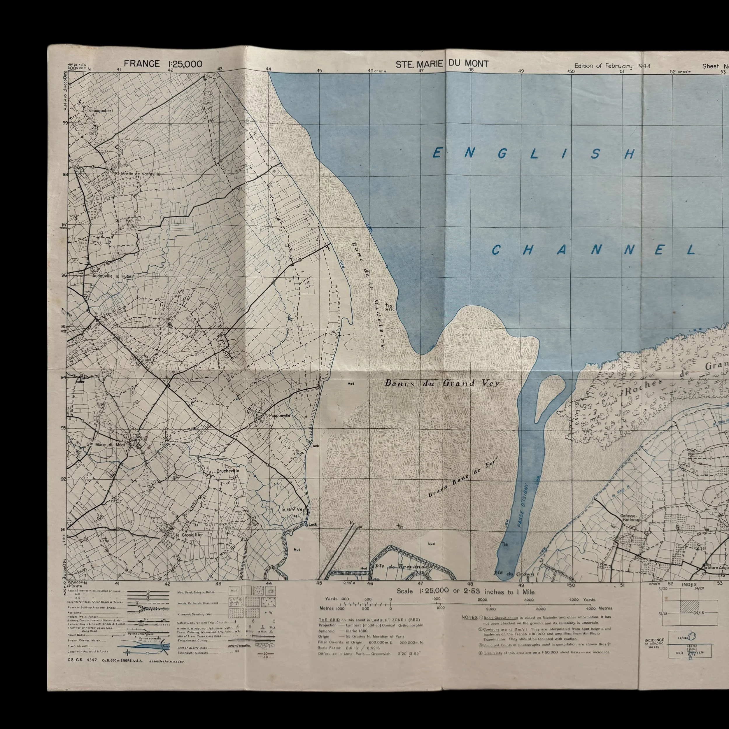


VERY RARE! WWII 1944 D-Day Operation Overlord Utah Beach U.S. 4th Infantry Division “STE. MARIE-DU-MONT” Combat Assault Map
Comes with a Hand-Signed Certificate of Authenticity
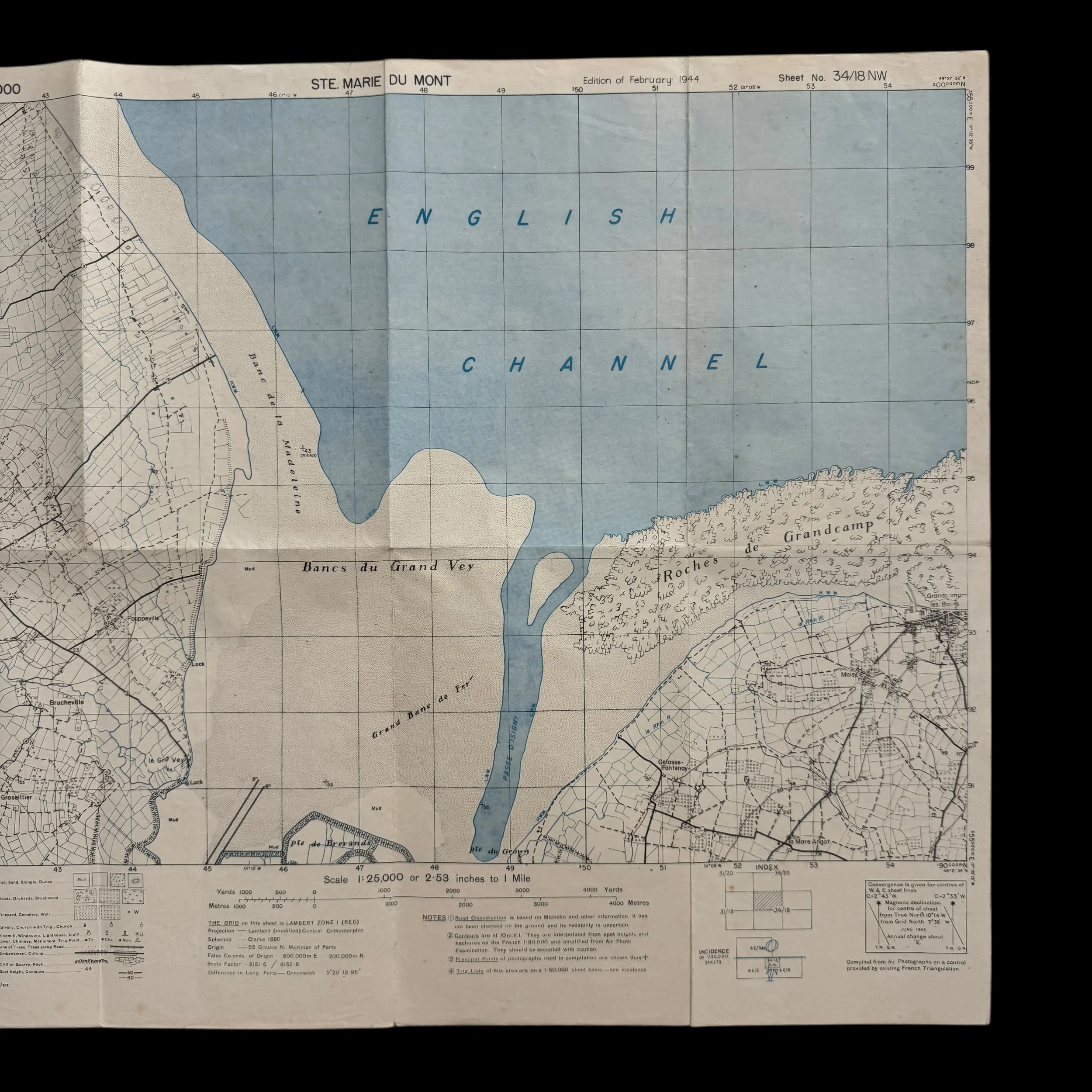
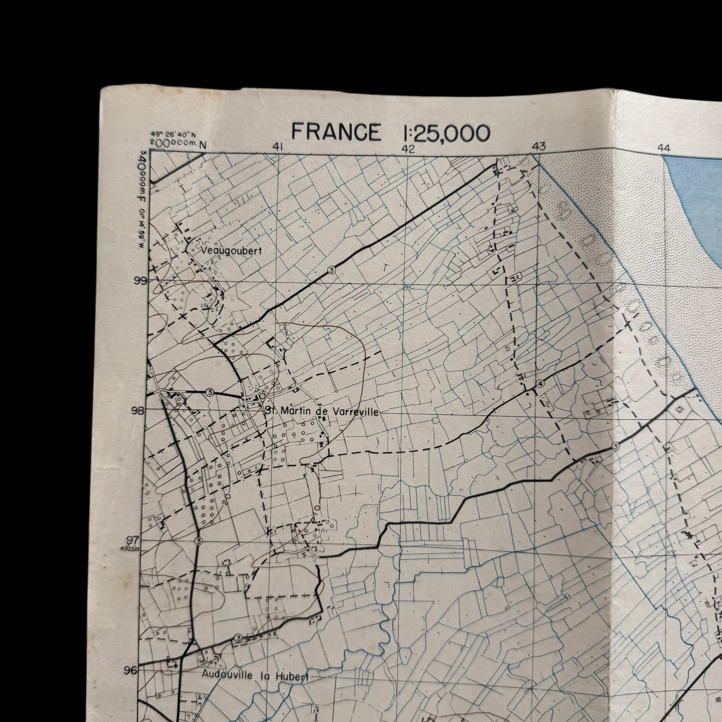
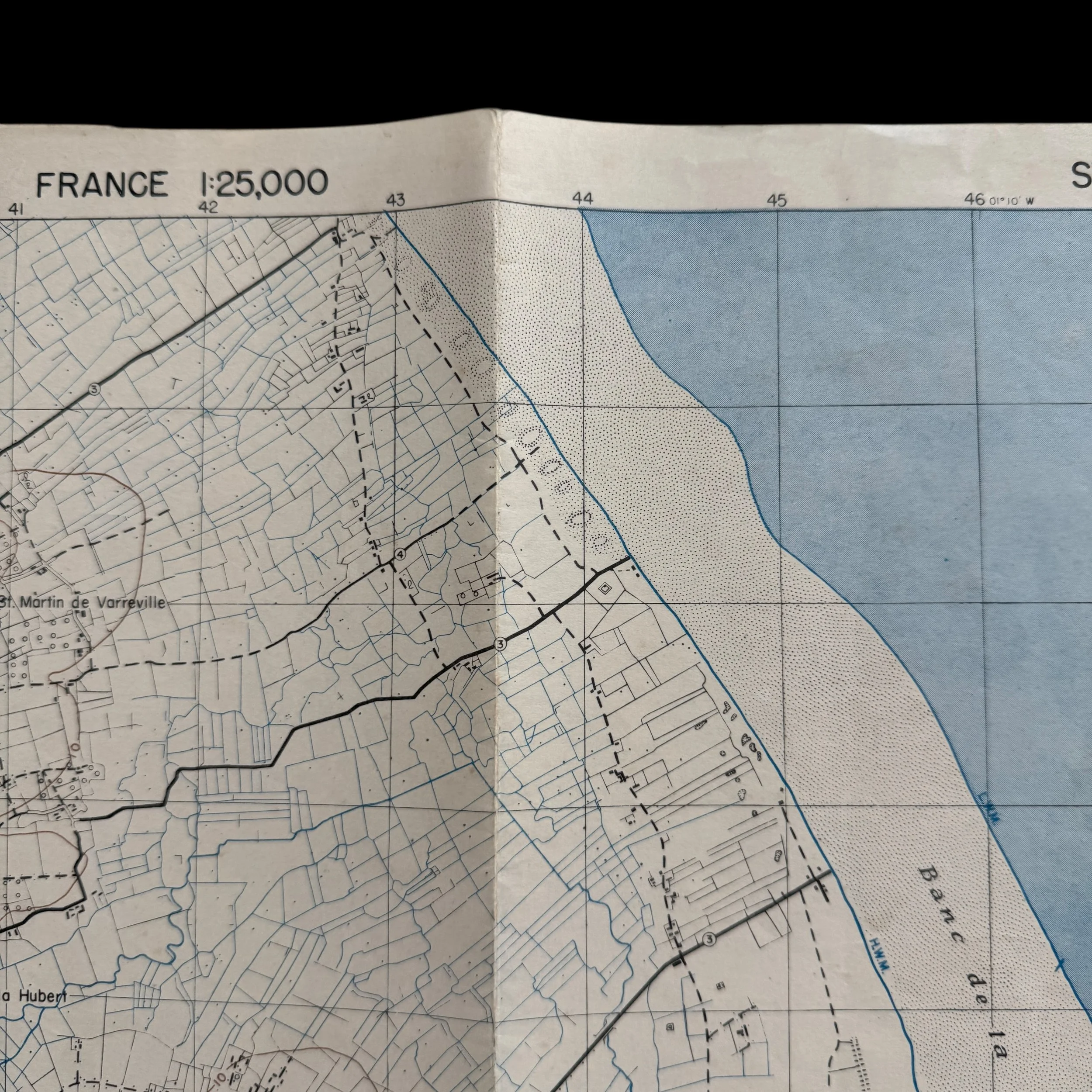
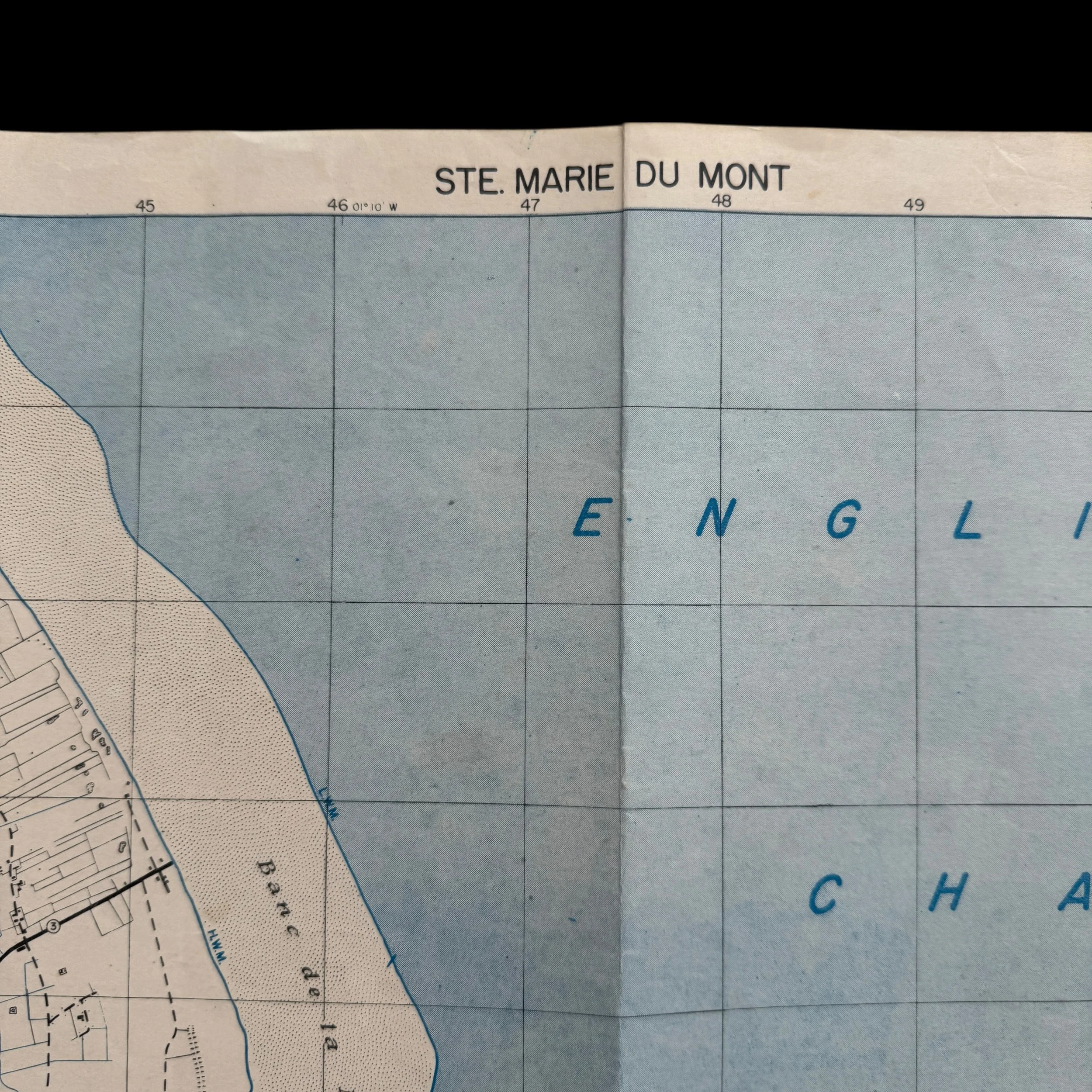
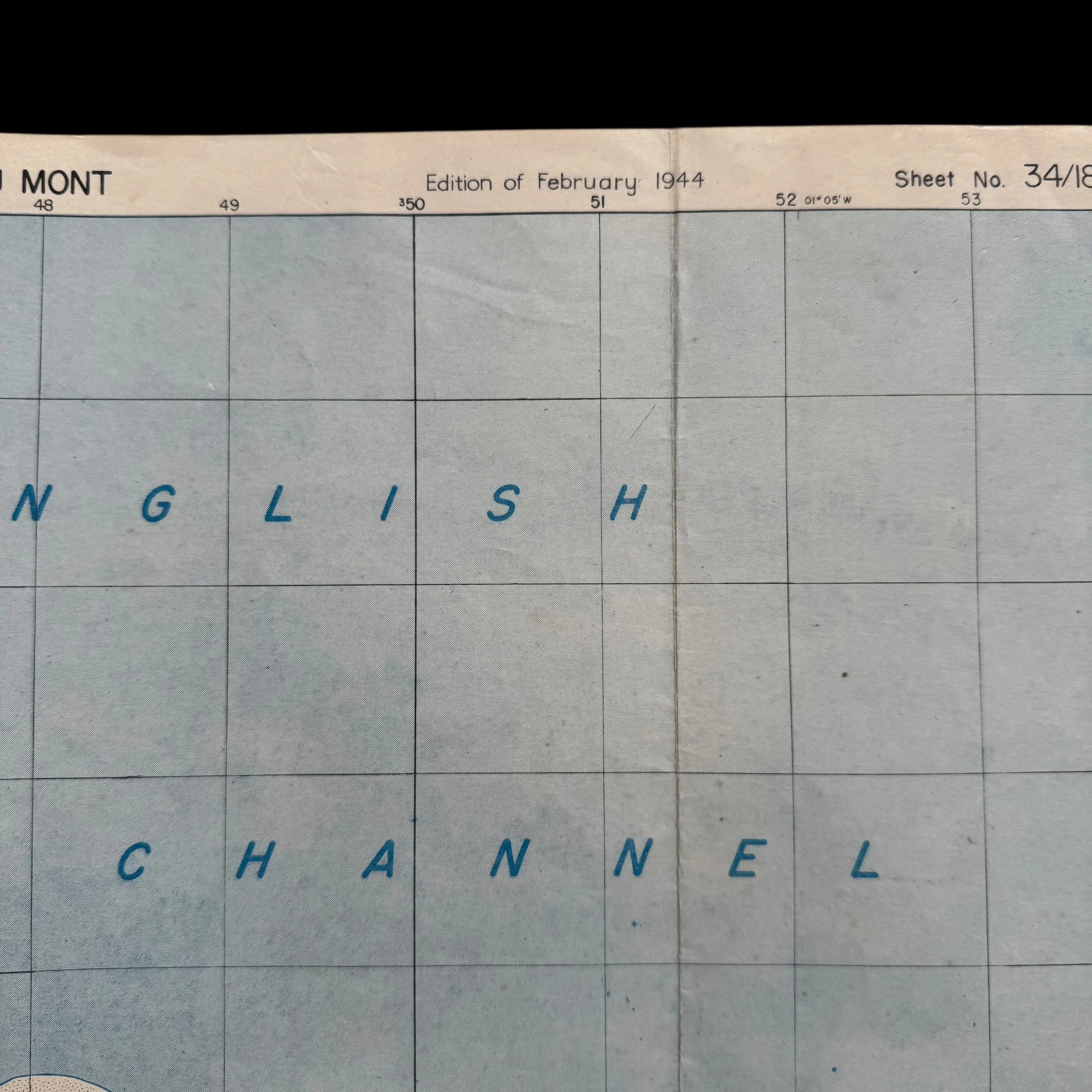
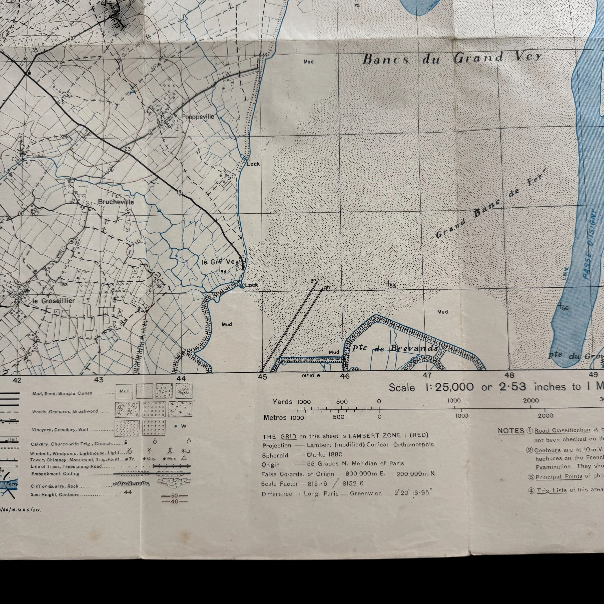
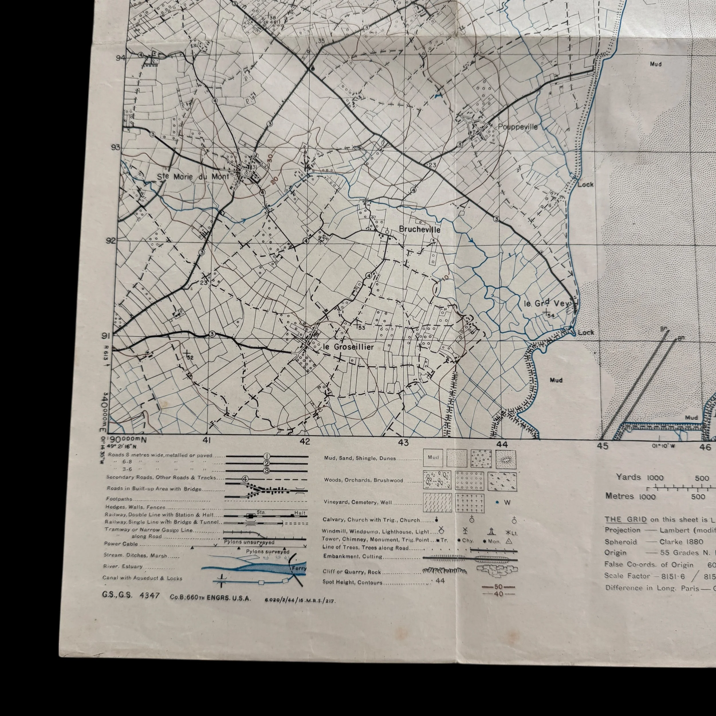
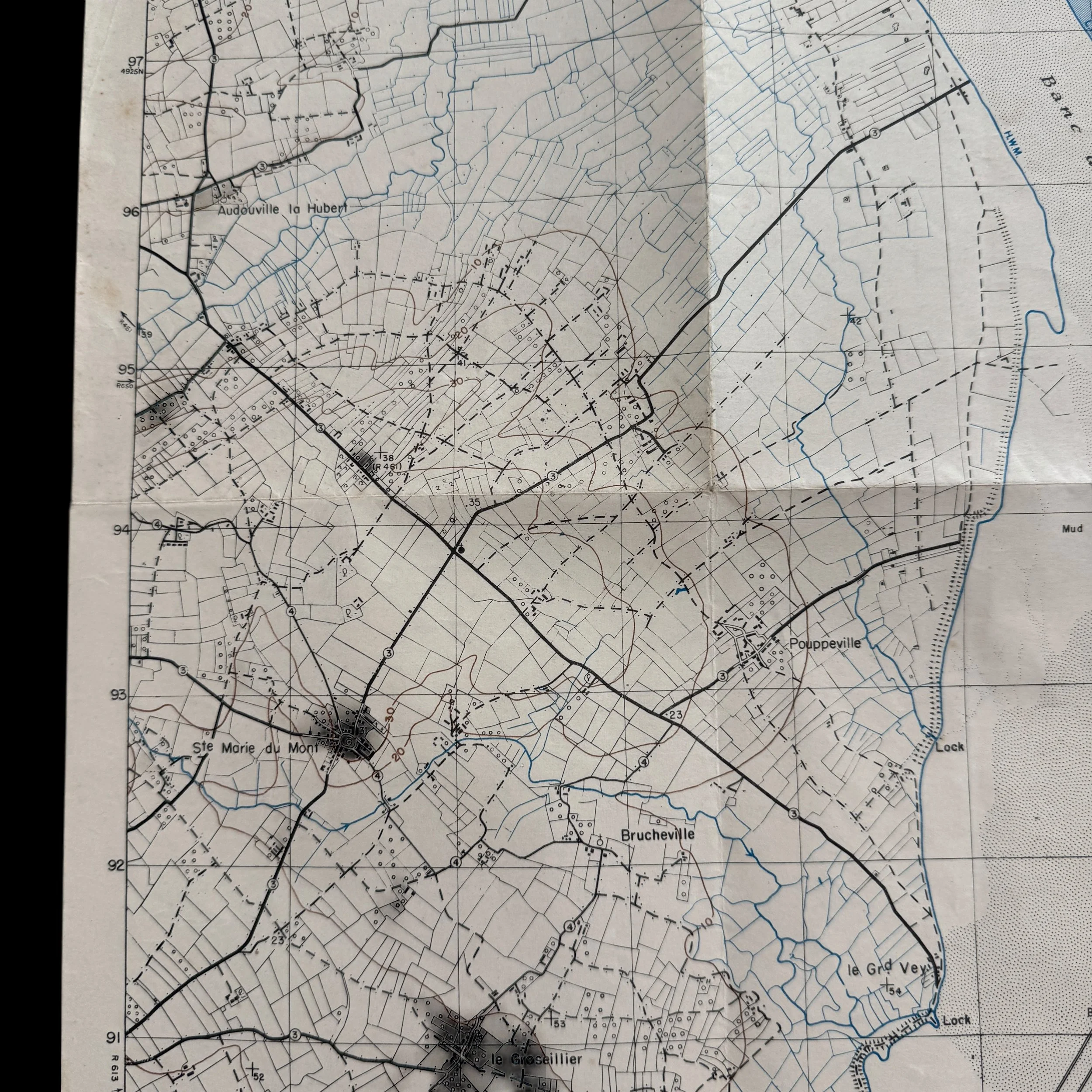
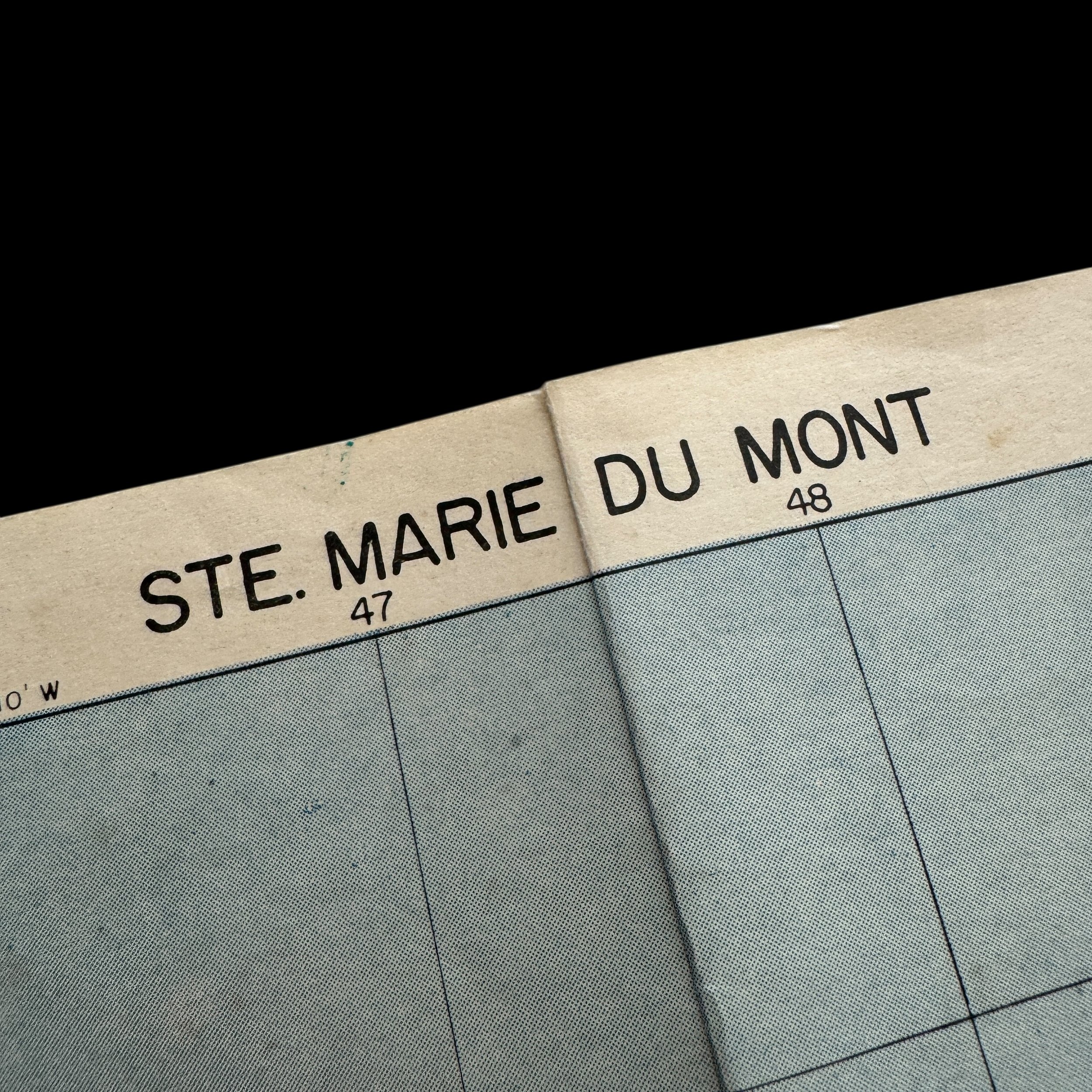
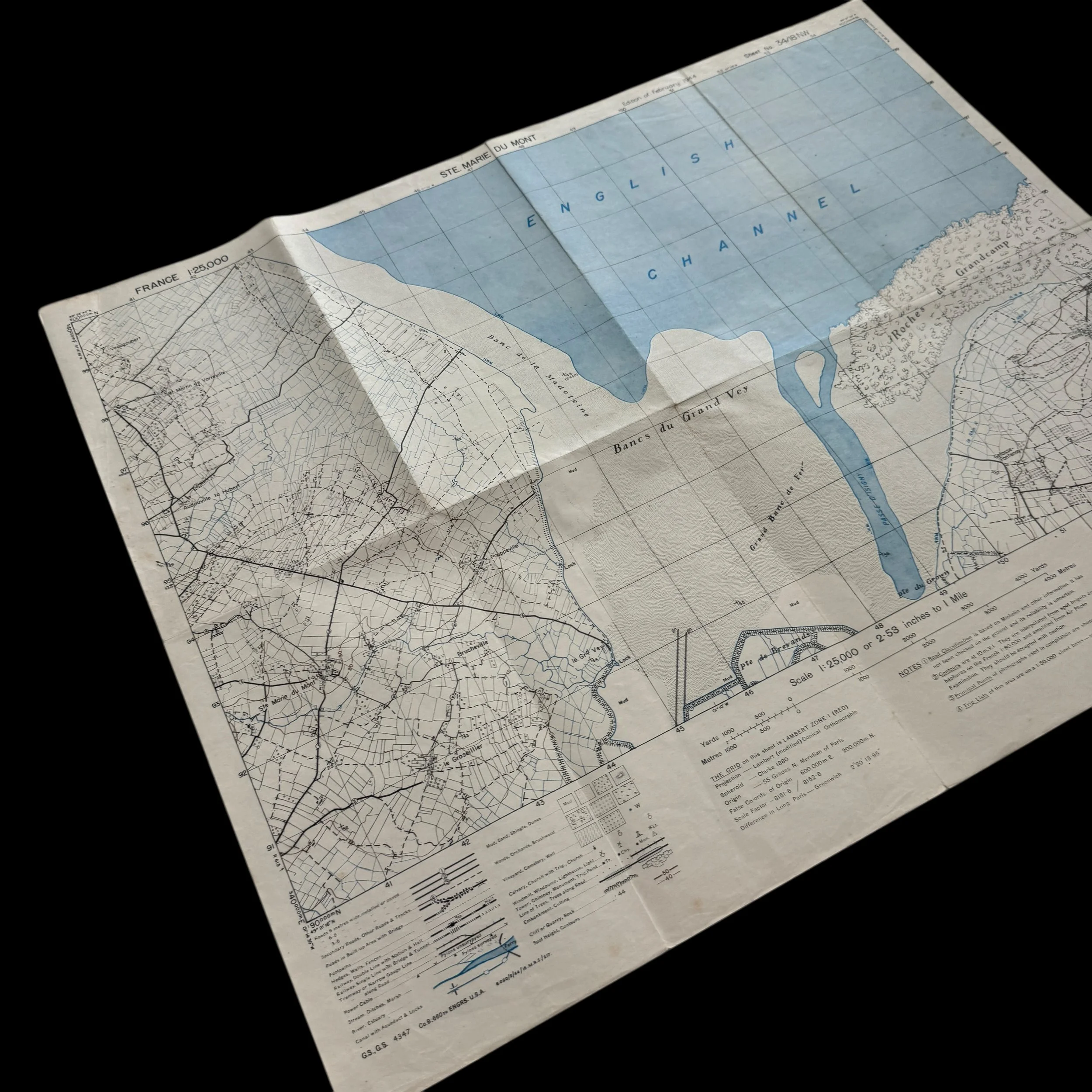
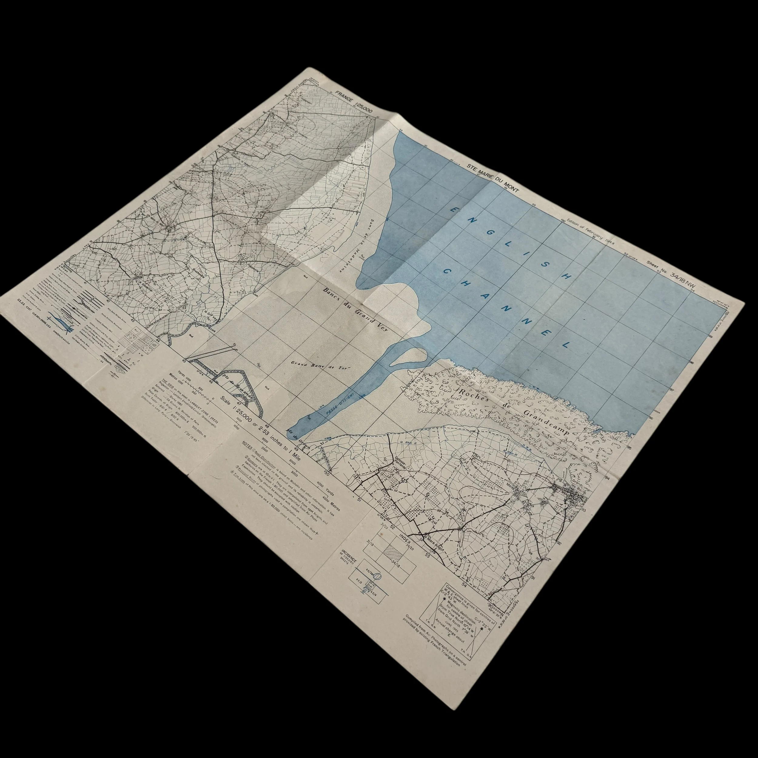
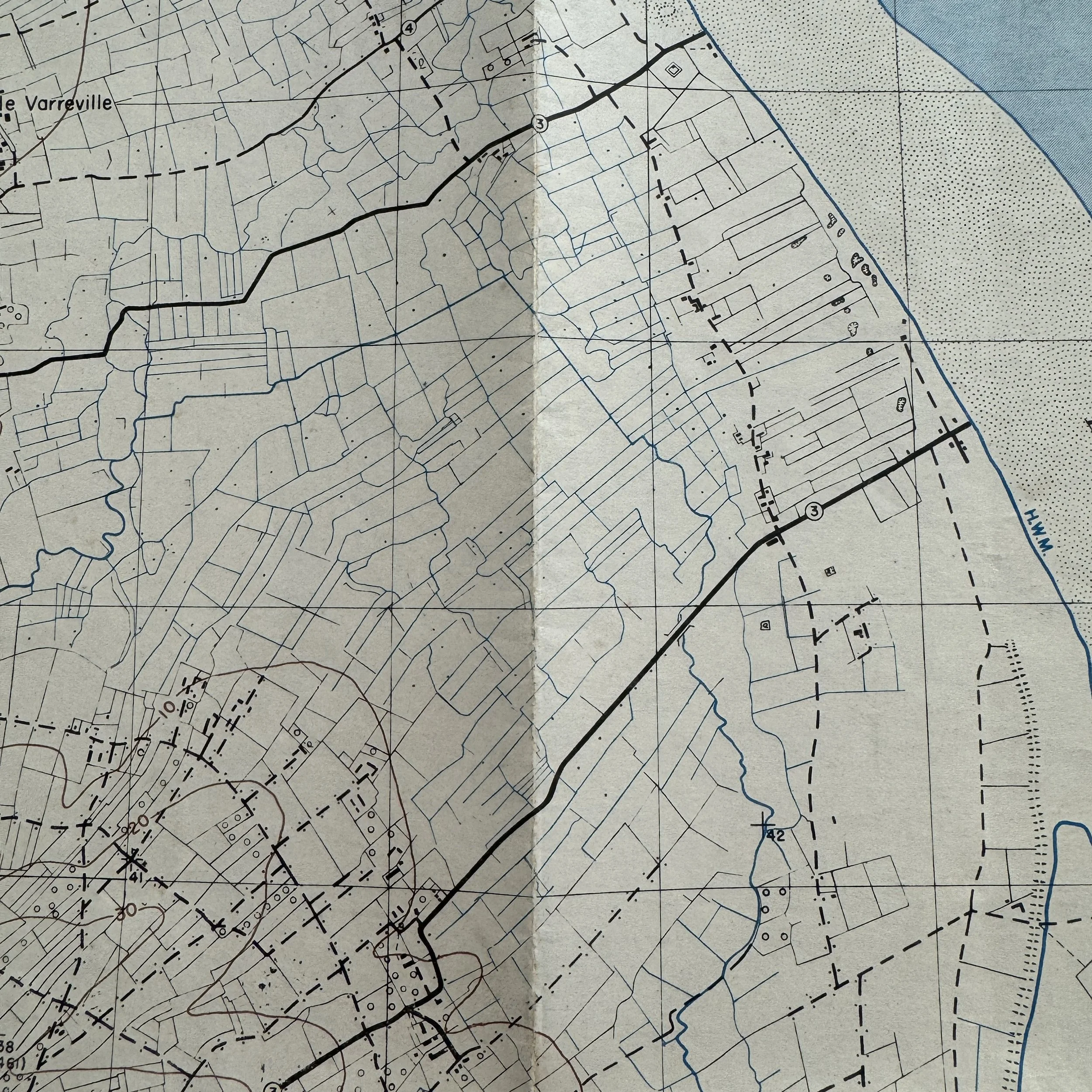
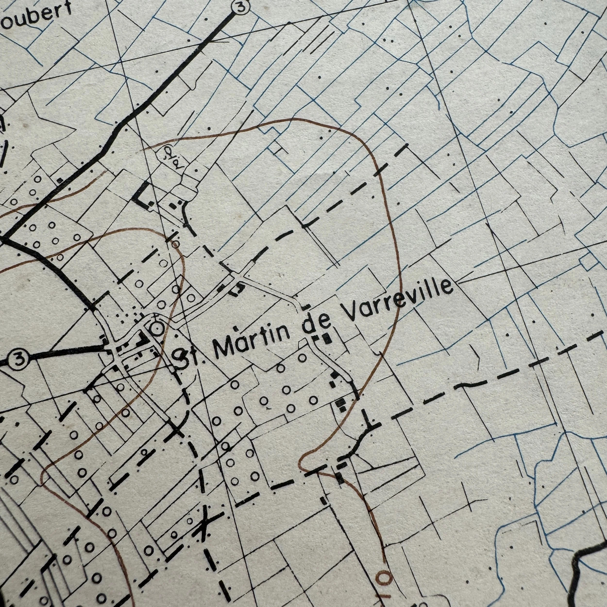
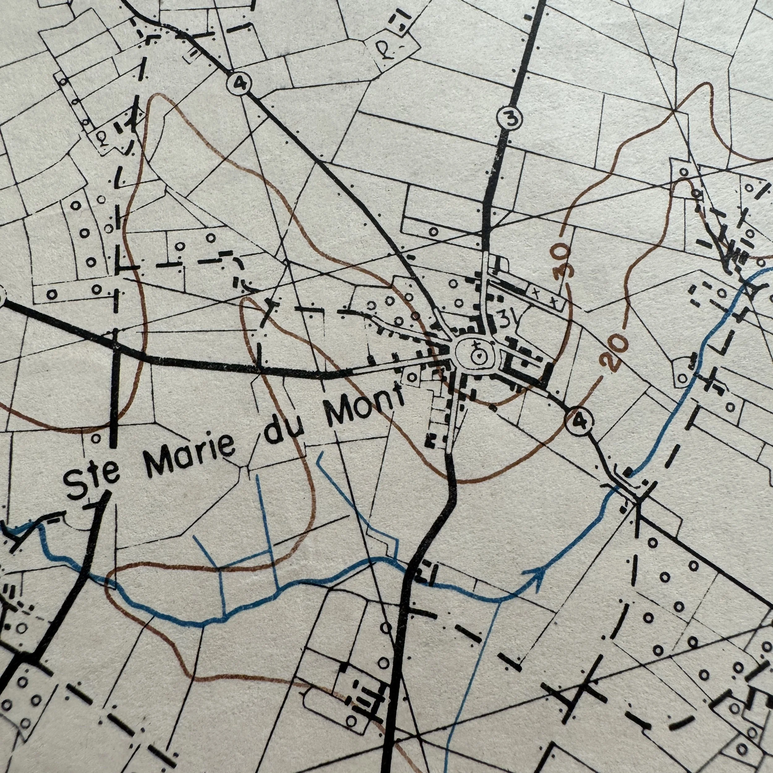
Ste. Marie-du-Mont – Utah Beach Assault Sector
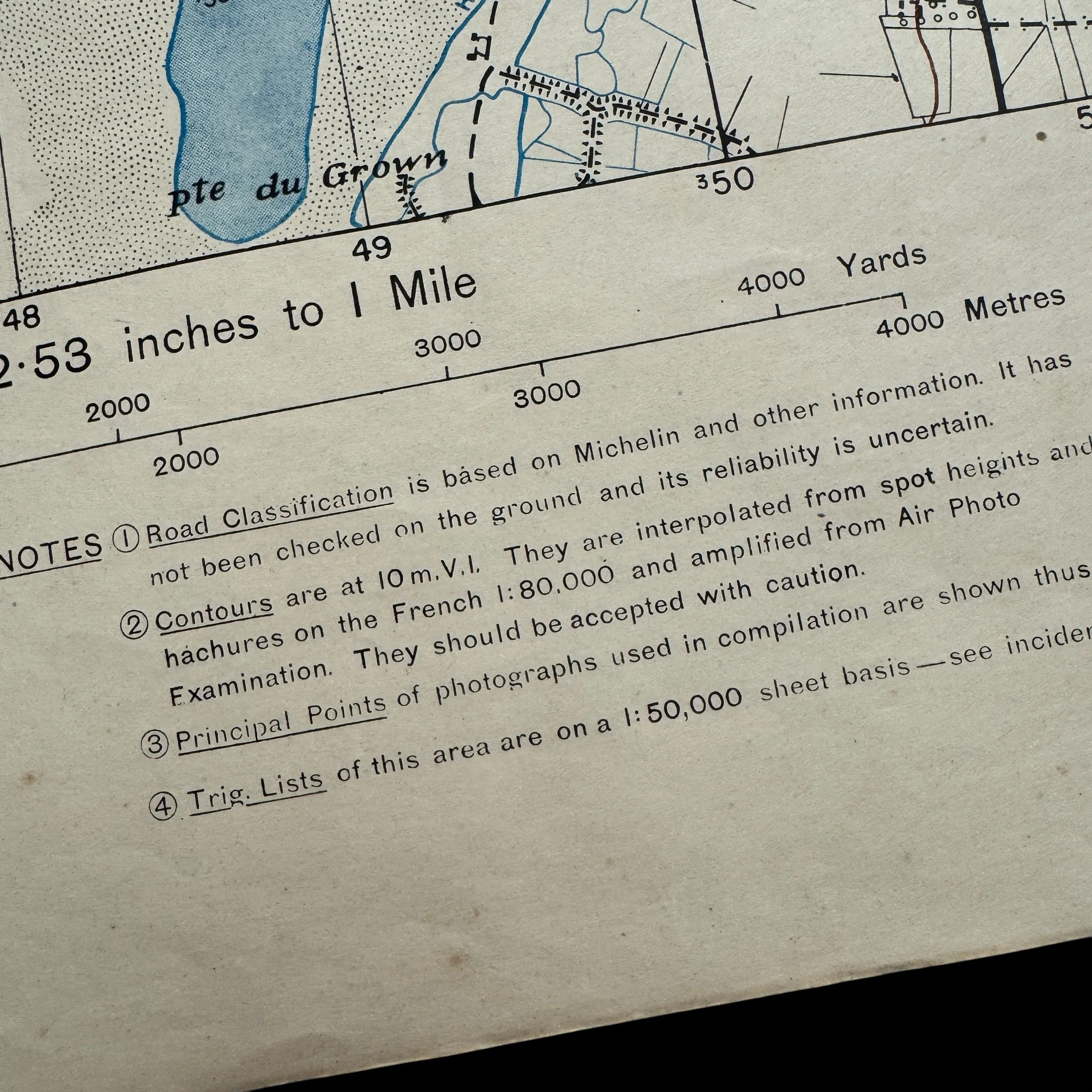
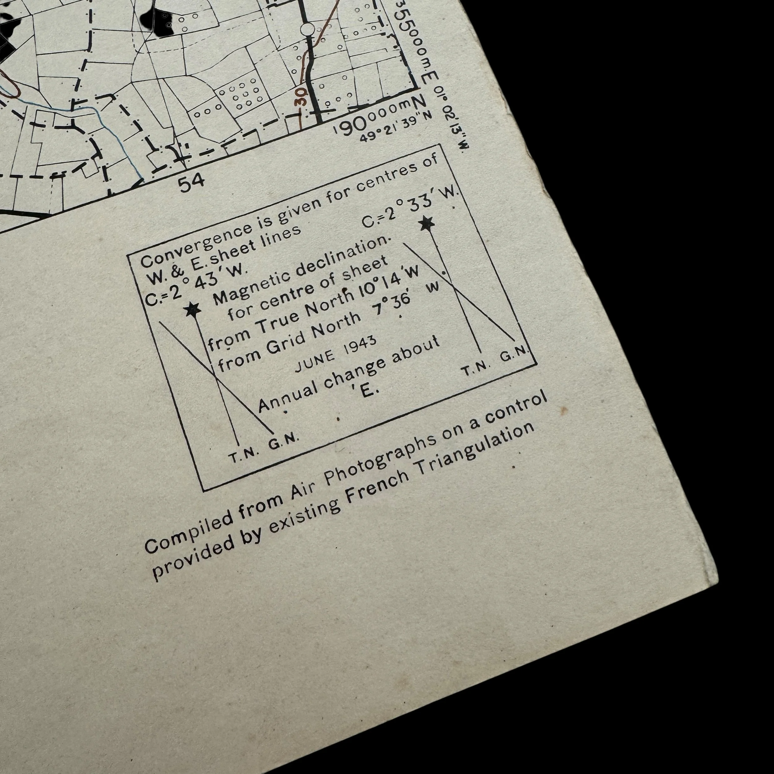
Dated February 1944
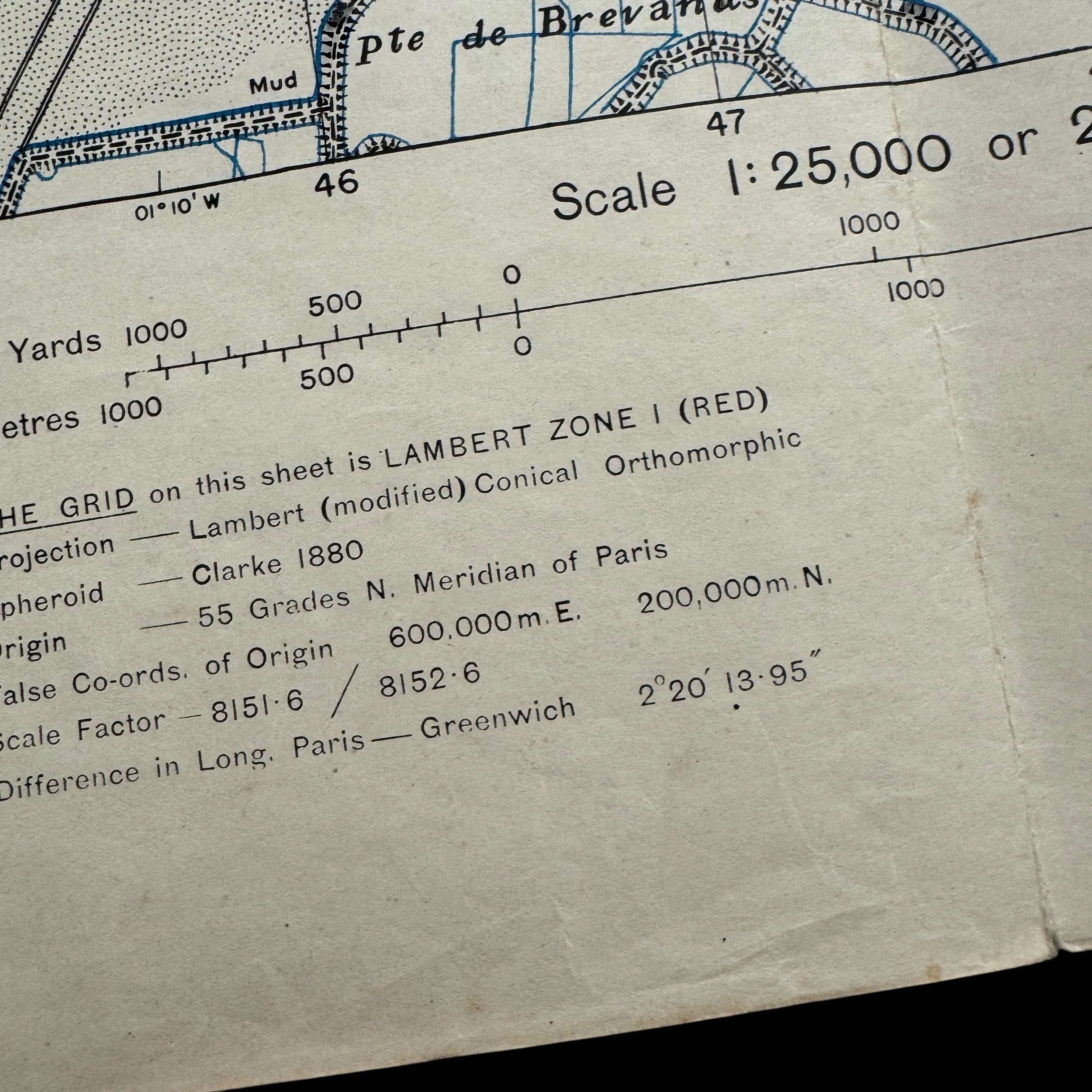
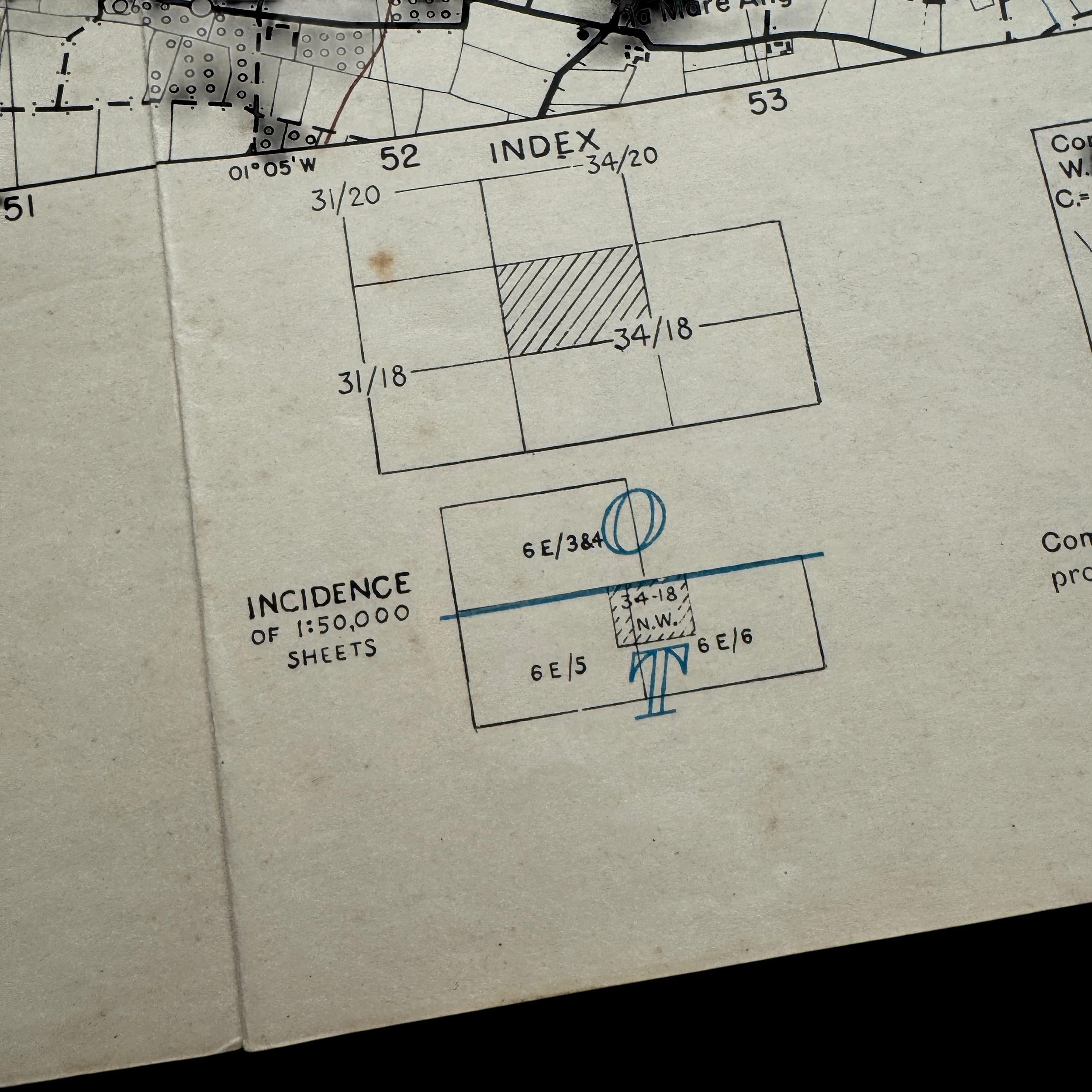
Size: 19.5 × 24.5 inches
Utah Beach – U.S. 4th Infantry Division (U.S. Army)
Division Commander: Major General Raymond O. Barton
Assistant Division Commander: Brigadier General Theodore Roosevelt Jr.
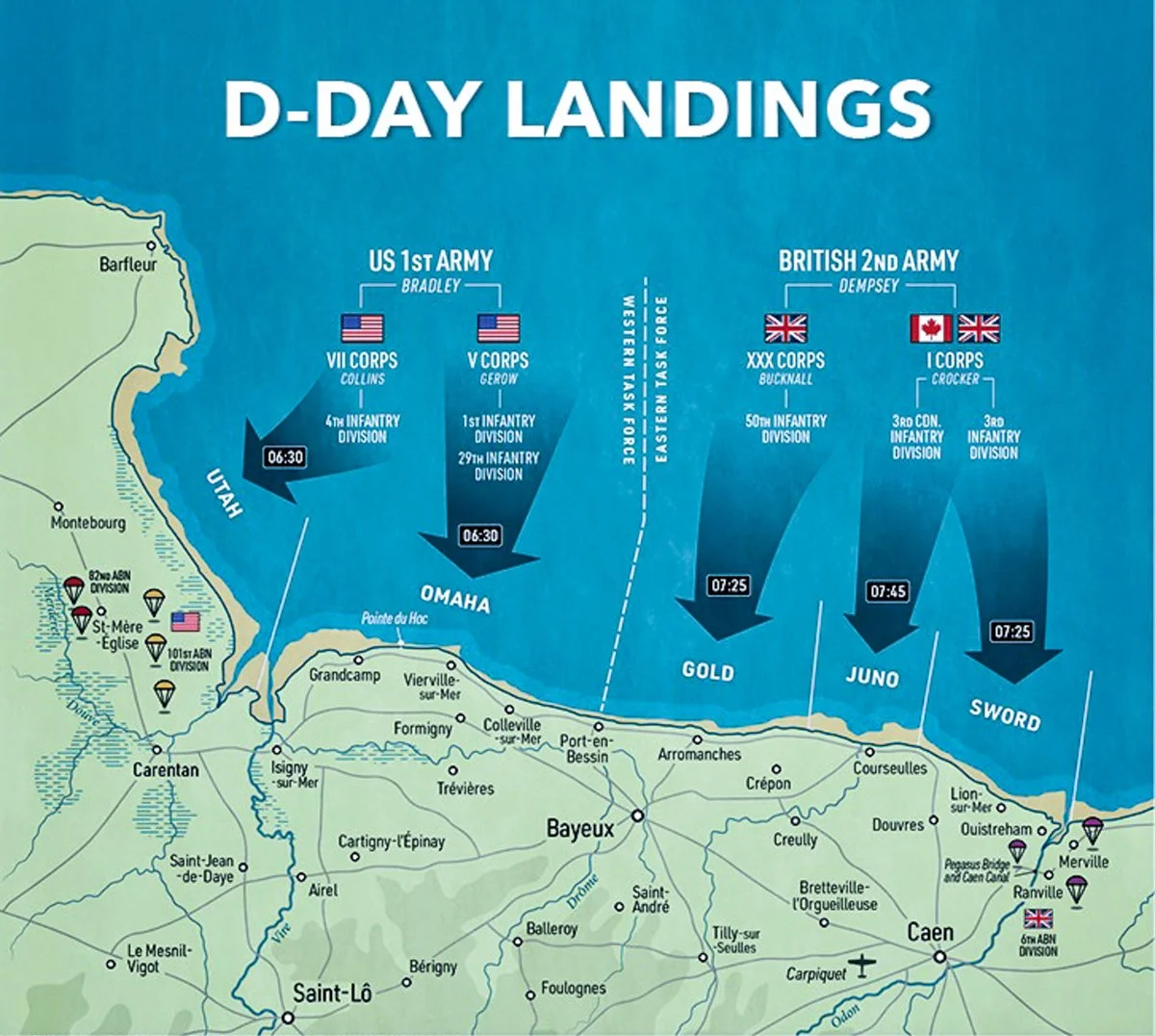
Landing Area: The westernmost of the five designated D-Day beaches, located at the base of the Cotentin Peninsula.
Mission: Secure Utah Beach, establish causeway exits through flooded lowlands, and link with U.S. 82nd and 101st Airborne Divisions fighting inland.
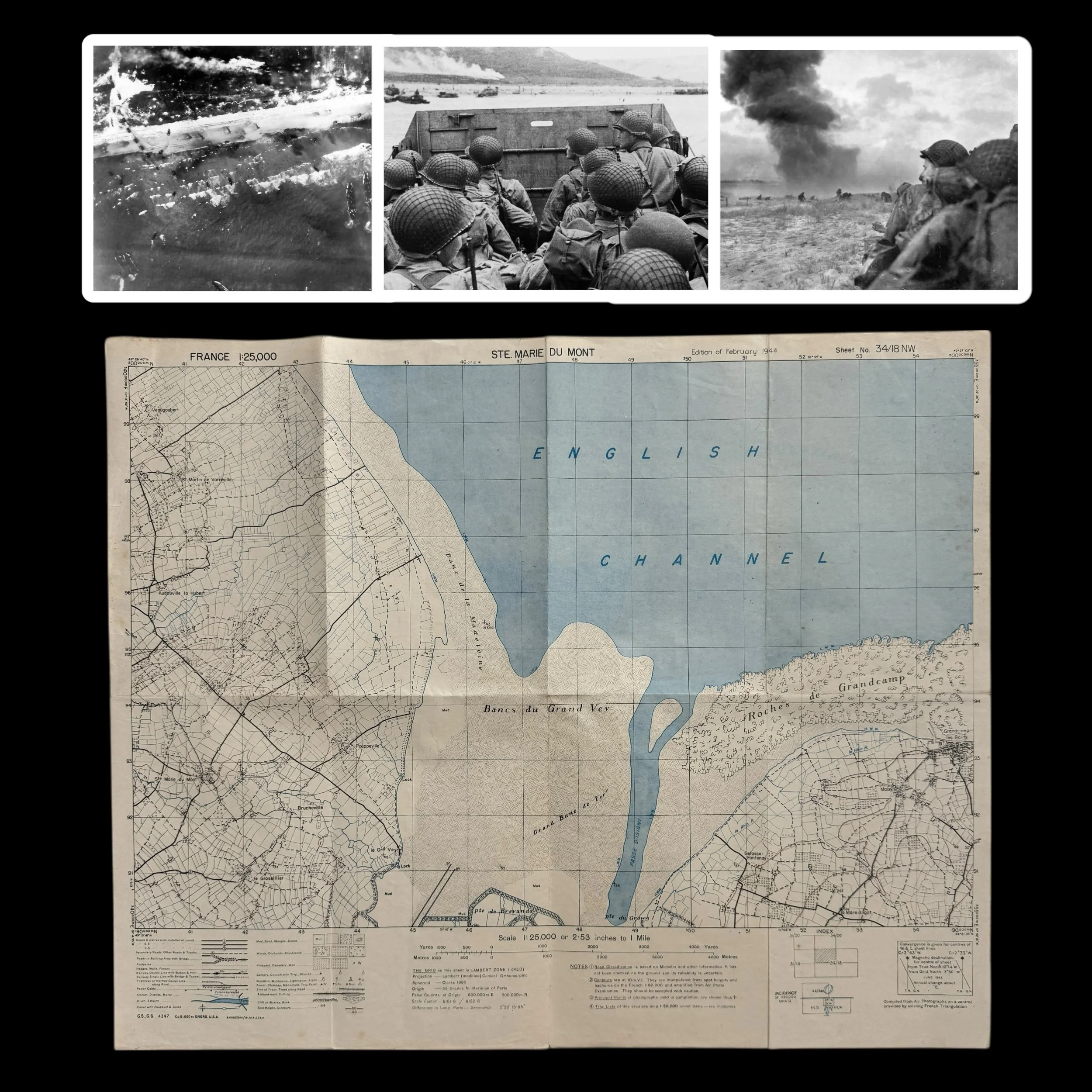
This exceptionaly rare museum-grade D-Day U.S. combat map represents one of the most significant planning and operational documents of the Allied landings on June 6th, 1944. Dated February 1944, only months before the invasion, it was prepared for the U.S. 4th Infantry Division as they prepared to storm Utah Beach near Ste. Marie-du-Mont during the D-Day invasion of Normandy. Only a select handful of these original Operation Overlord series combat beachhead maps exist. This particular issue is among the most sought after, as it details the precise sectors, defenses, and terrain approaches that the 4th Infantry Division would face on their historic landing.
Utah Beach and the 4th Infantry Division
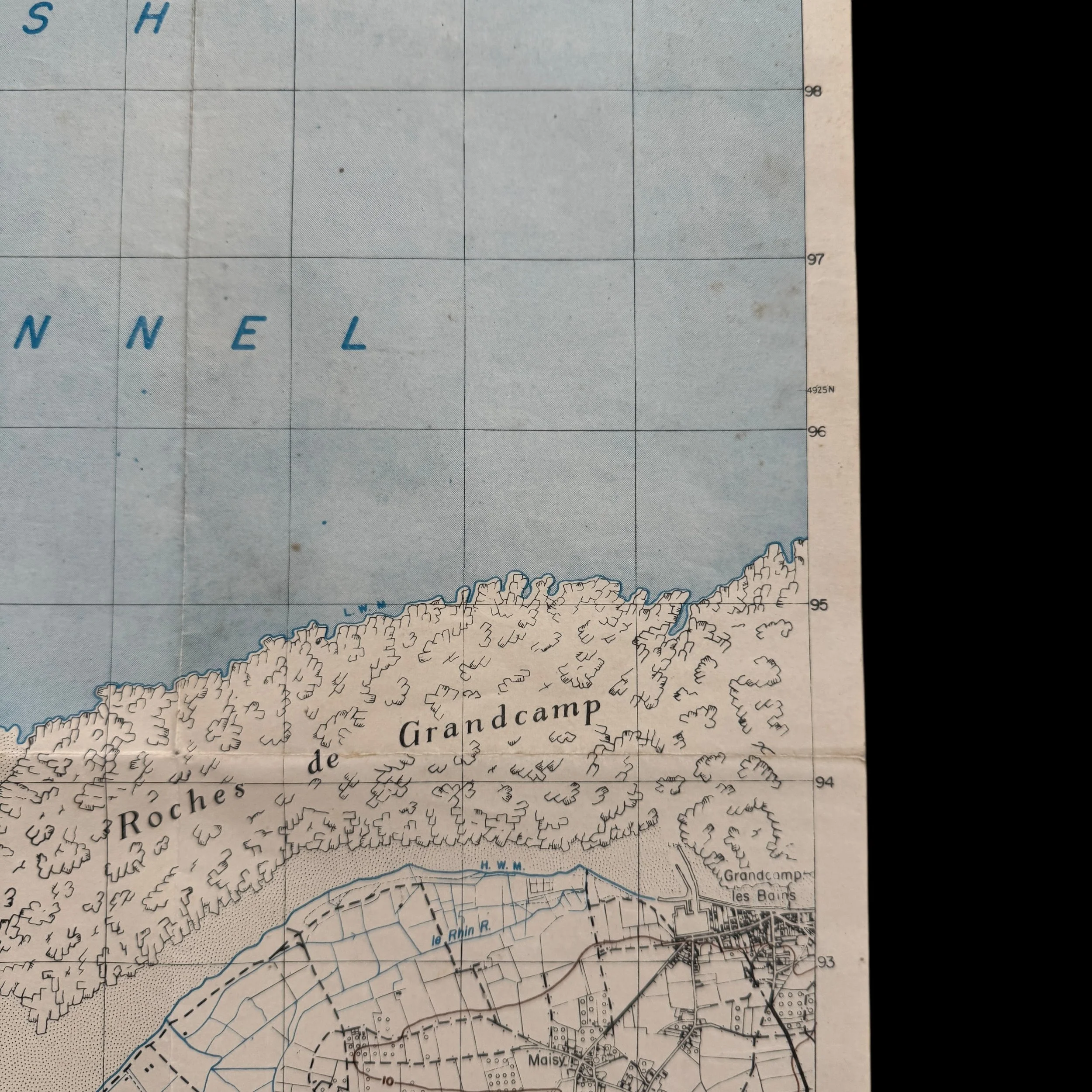
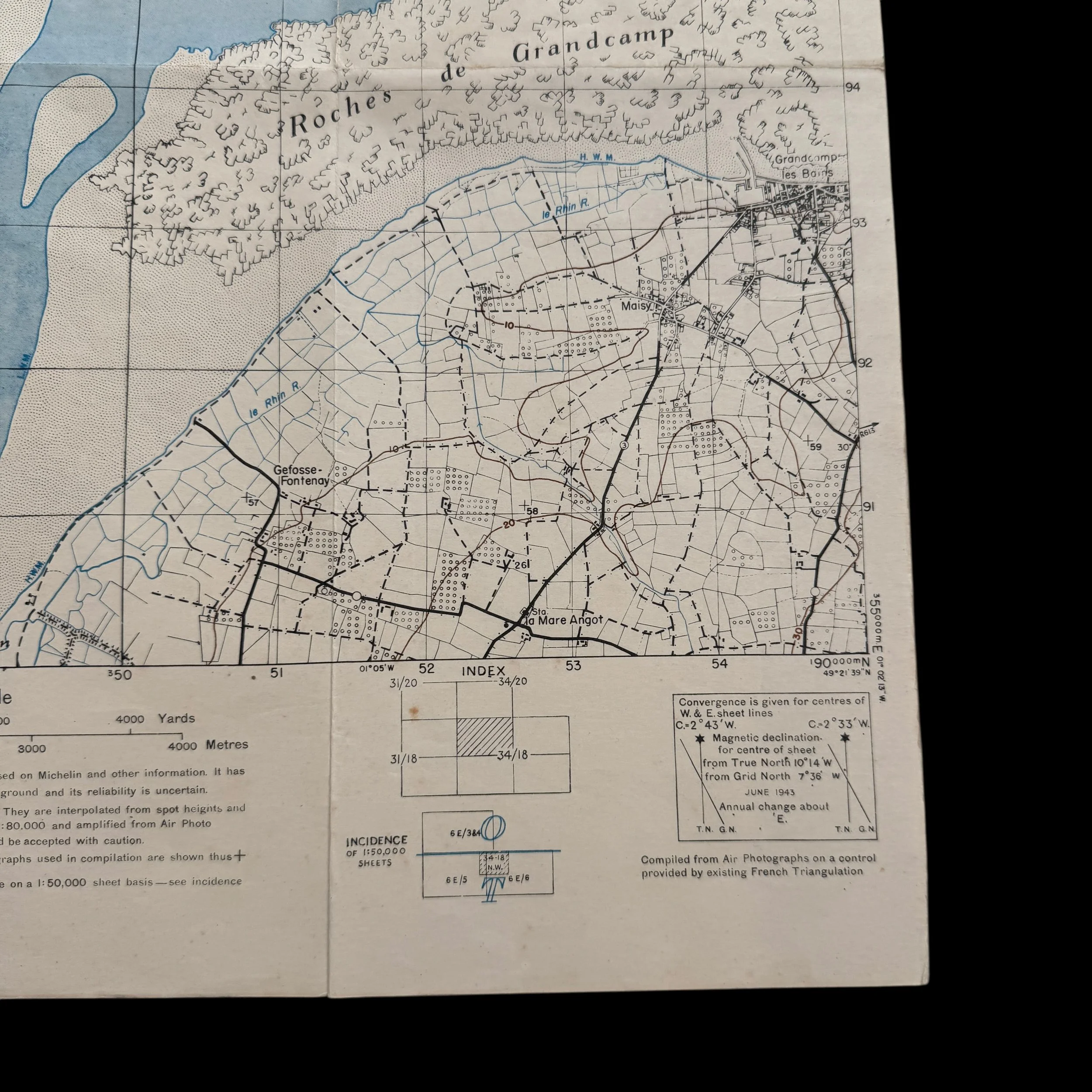
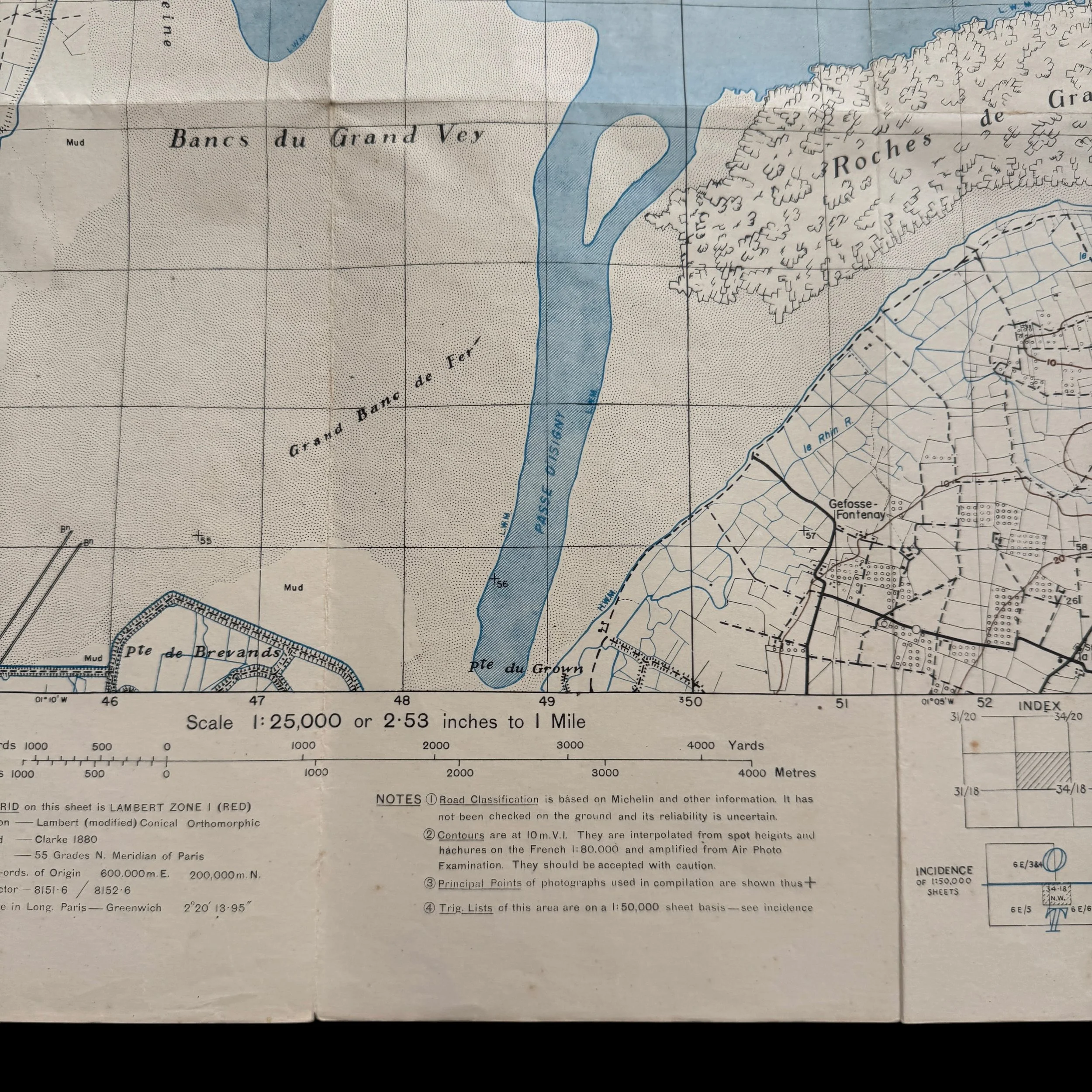
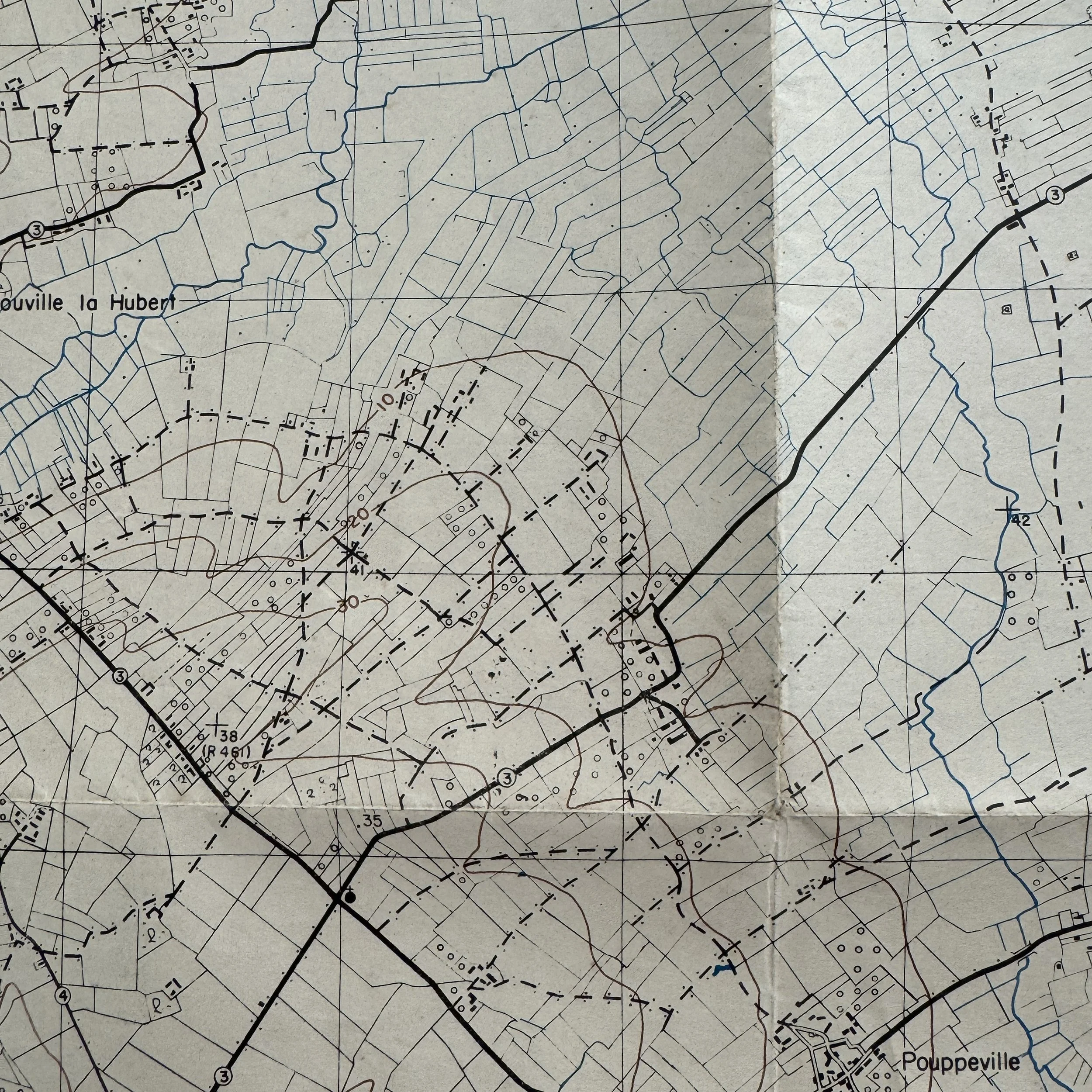
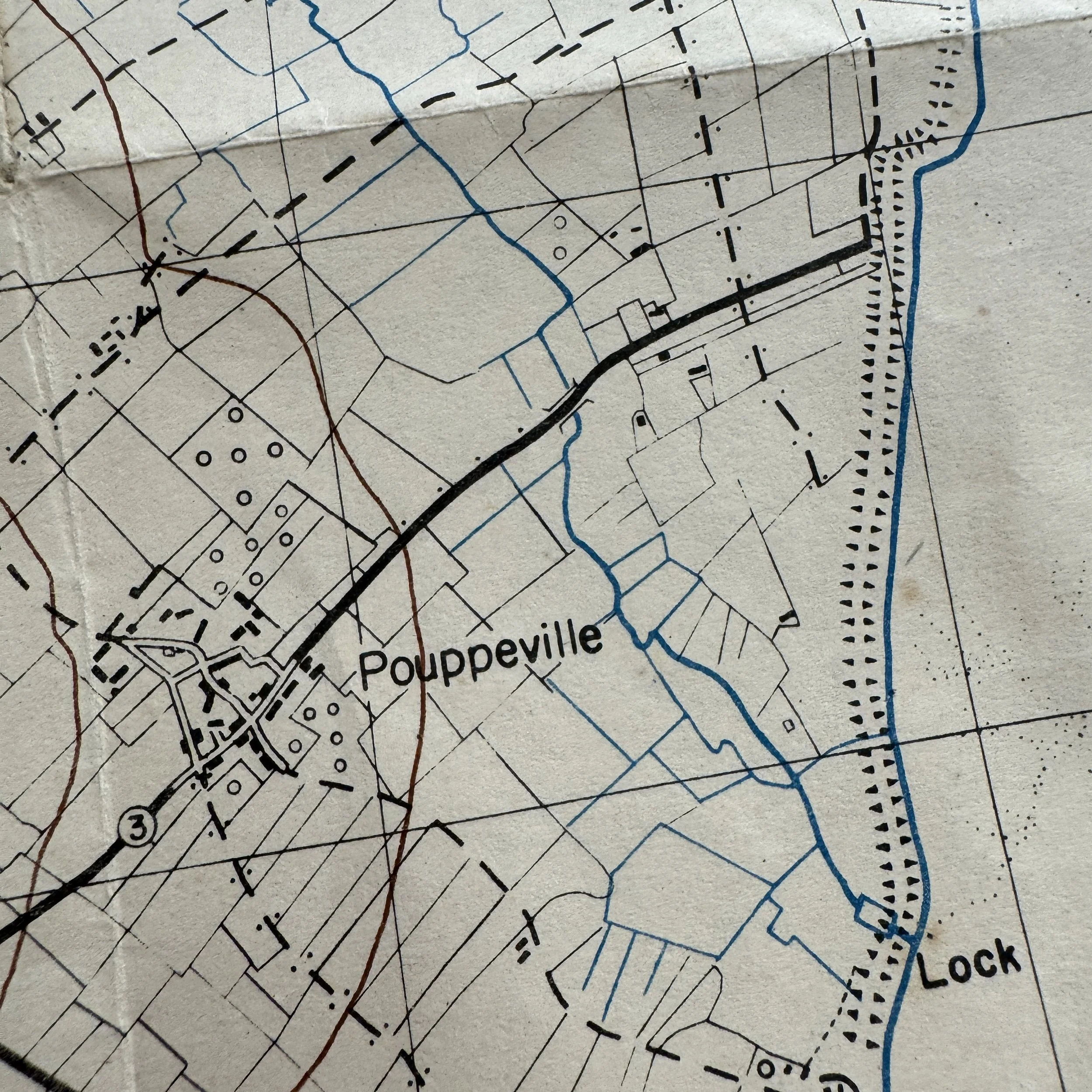
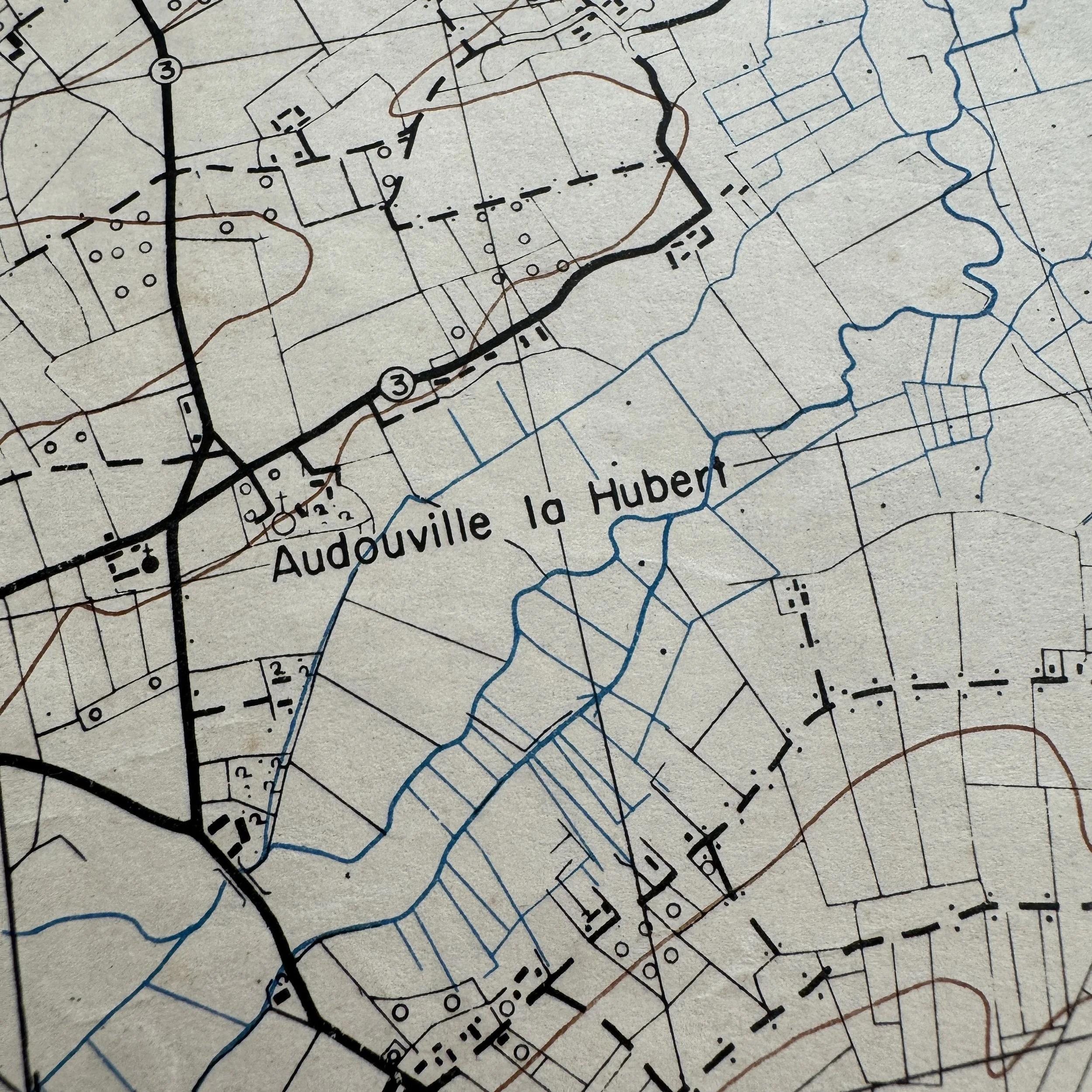
Utah Beach, located at the base of the Cotentin Peninsula, was the westernmost of the five designated landing beaches. The U.S. 4th Infantry Division, under Major General Raymond O. Barton, was tasked with landing there to secure a foothold and link up with the U.S. 82nd and 101st Airborne Divisions, who had dropped inland during the night. The plan called for the 4th Infantry to advance inland, cut across the causeways leading off the flooded lowlands, and link with the paratroopers who were fighting desperately to secure bridges and road junctions around Ste. Marie-du-Mont and beyond.
Although the landings at Utah were less catastrophic than those at Omaha, this was largely due to preparation and to an error that proved fortuitous. Strong currents pushed the landing craft nearly 2,000 yards south of their intended sector. Brigadier General Theodore Roosevelt Jr., the Assistant Division Commander, famously declared, “We’ll start the war from right here.” His calm leadership in those critical opening moments allowed the troops to reorganize and press inland with determination.
Ste. Marie-du-Mont and German Defenses
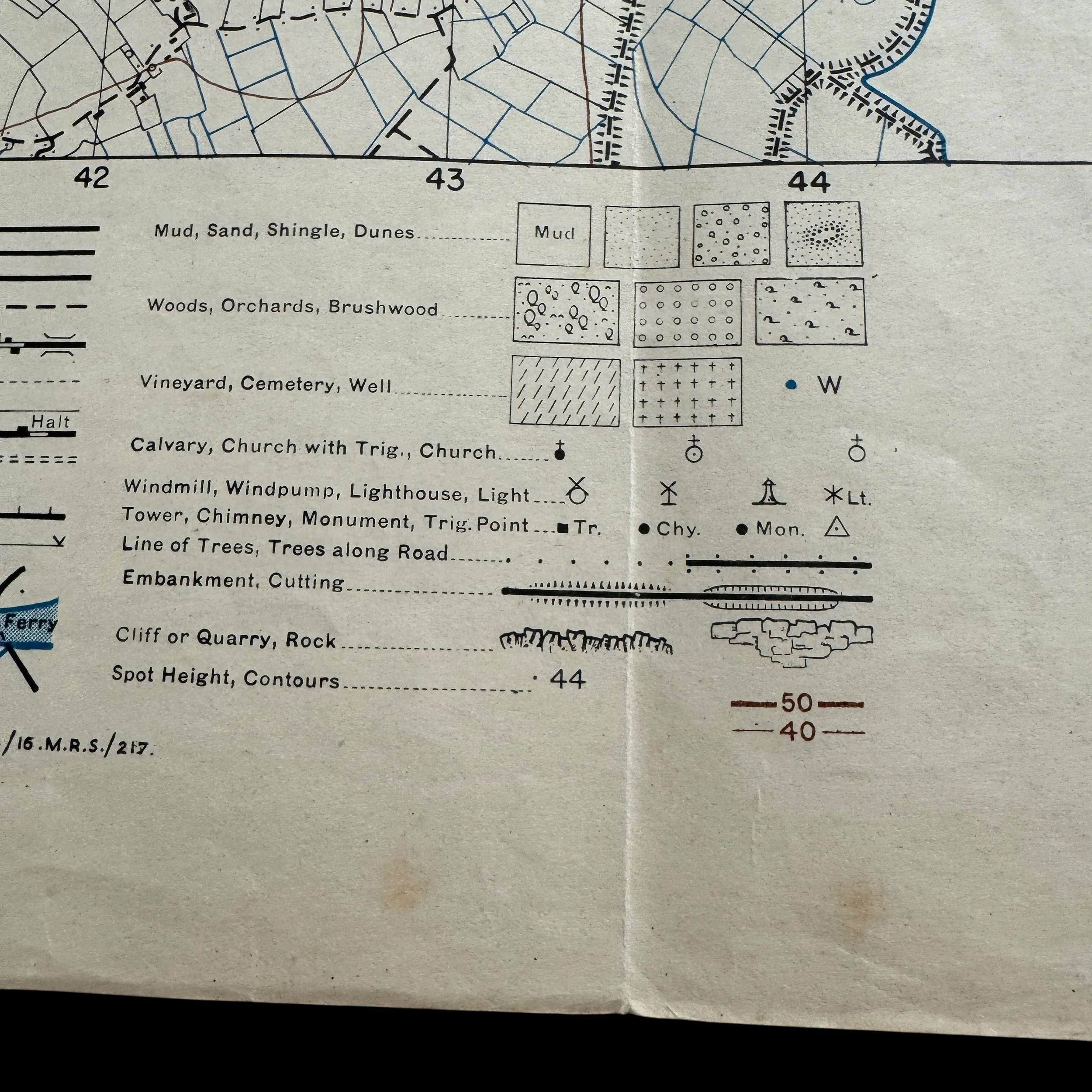
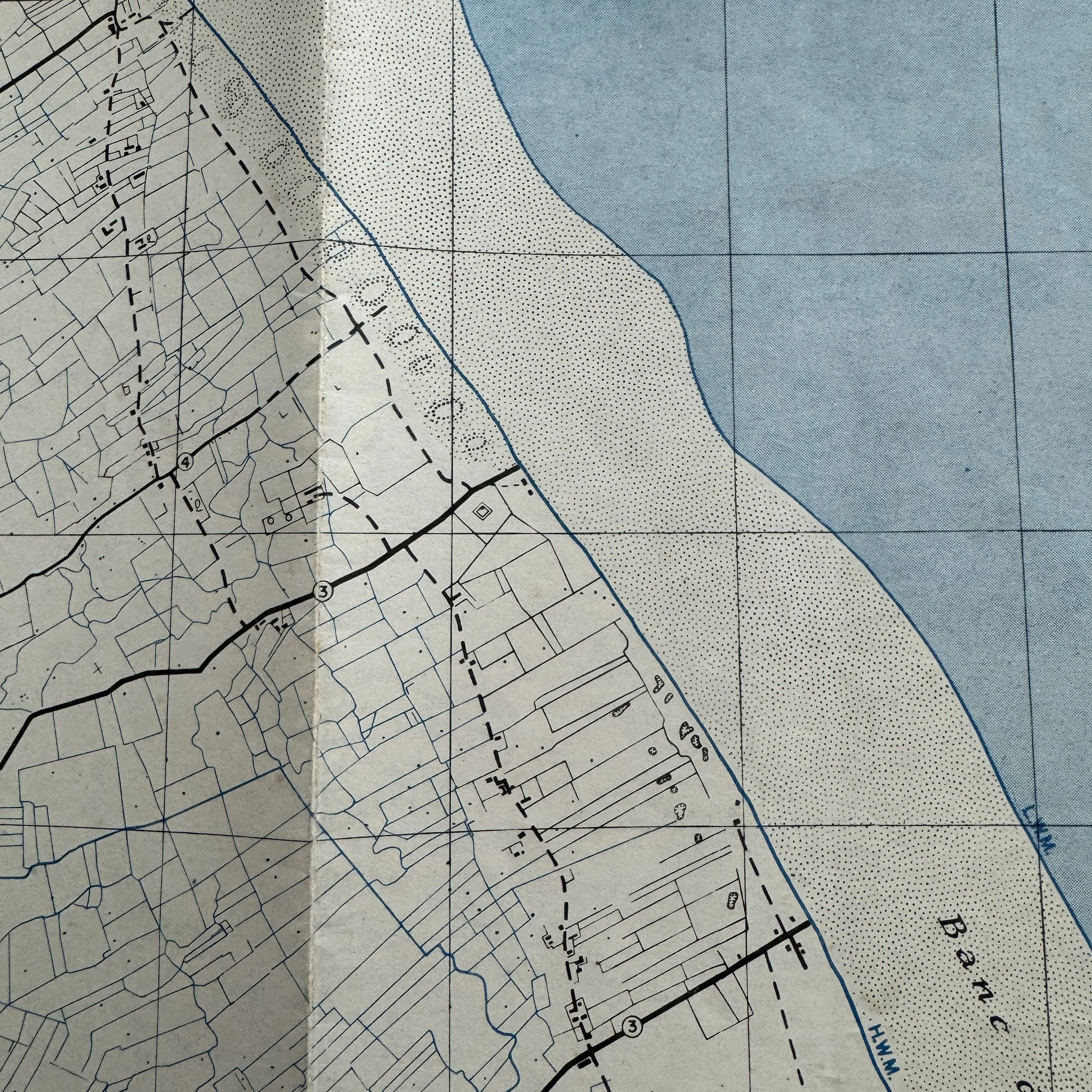
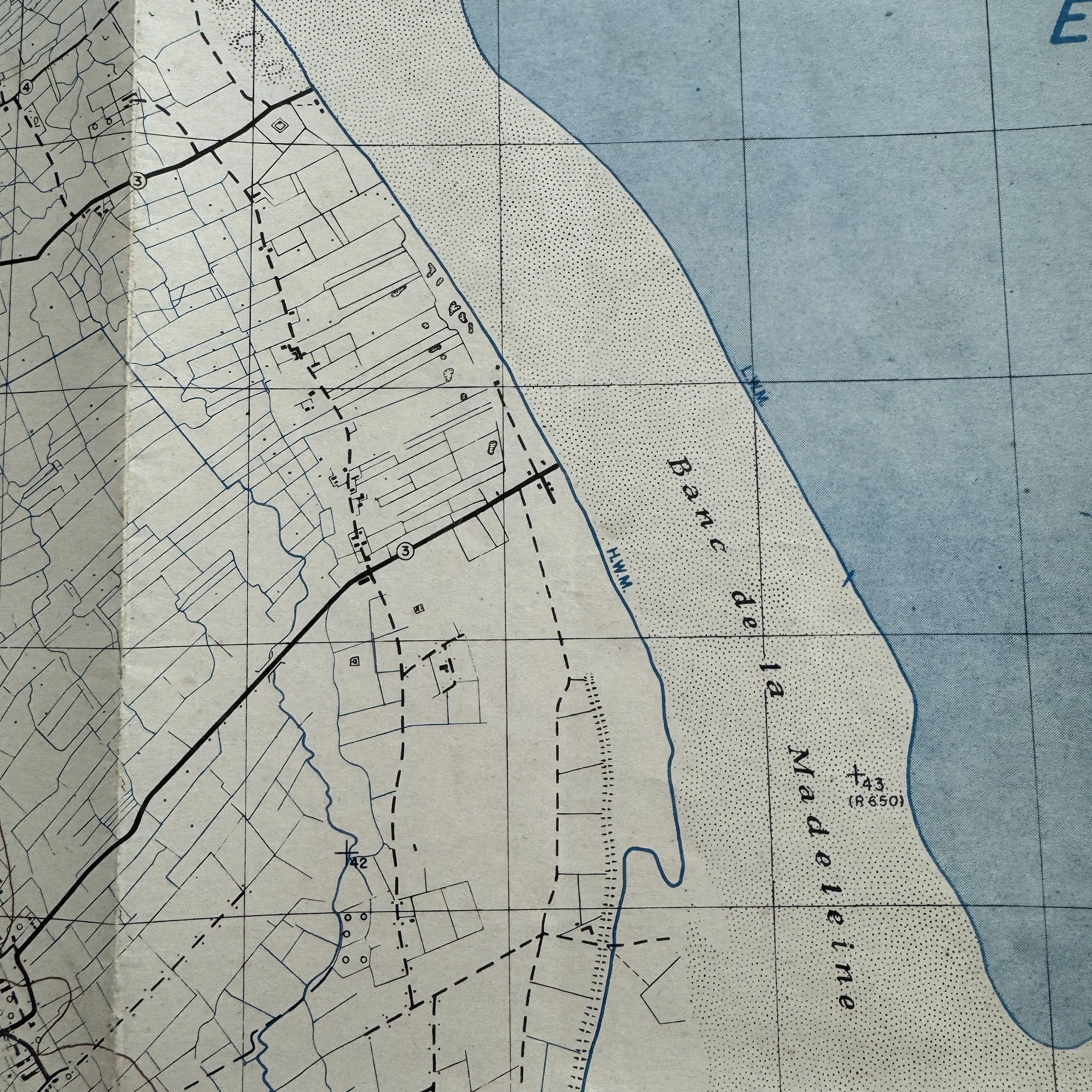
The small town of Ste. Marie-du-Mont, shown in detail on this February 1944 map, was a vital objective. It sat at the junction of key roads leading inland from Utah Beach and directly influenced the ability of the 4th Infantry Division to link up with paratroopers of the 101st Airborne Division, who had dropped in the surrounding countryside. The German defenses in the area, constructed under the Atlantic Wall system, included strongpoints (Widerstandsneste), trenches, minefields, barbed wire, and machine gun emplacements, supported by artillery located farther inland.
The 4th Infantry Division’s assault was designed to push through these defenses quickly, secure the causeways, and establish the first bridgehead for the Allied armies in Normandy. Within hours, the 4th linked with scattered paratrooper units and began the steady push inland that would eventually liberate the Cotentin Peninsula and capture the vital port of Cherbourg.
The Rarity and Historical Importance
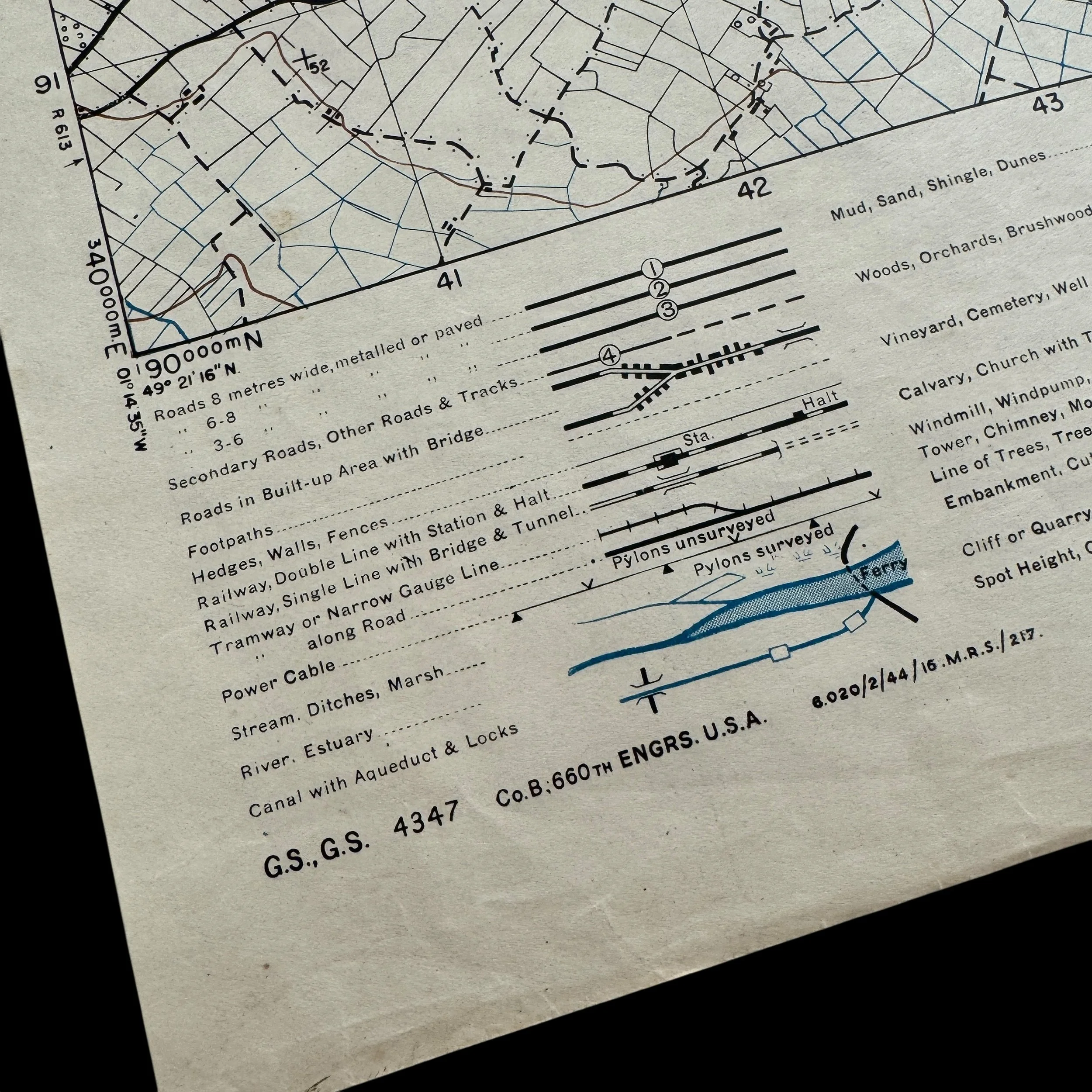
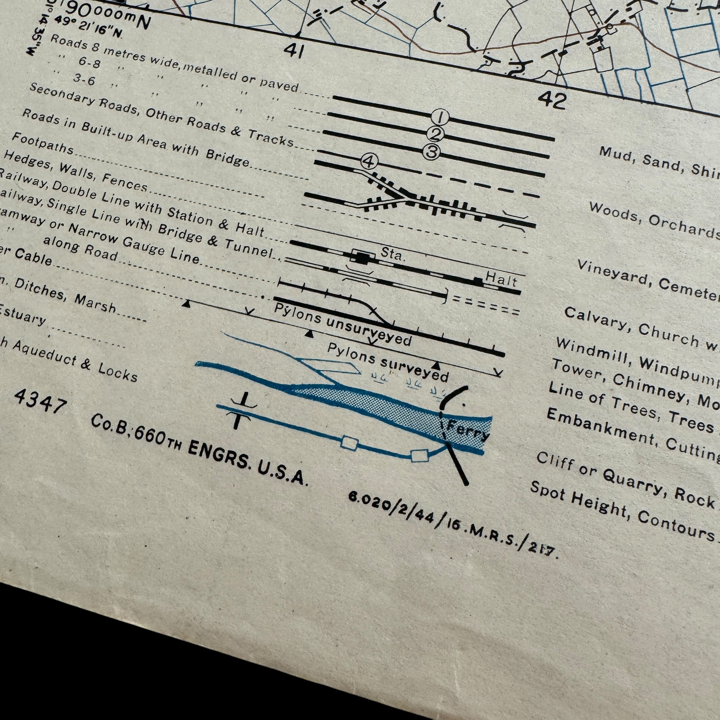
Like the top-secret BIGOT series, these Utah Beach assault maps were strictly controlled, revised, and distributed only to essential officers and units in preparation for Operation Overlord. Combat maps of this nature were carried ashore by officers, commanders, and division planners to direct troops through the fortified German defenses along the Cotentin Peninsula. Surviving examples are vanishingly scarce, as most were either destroyed in the field after use or retained in military archives.
Legacy of the Map
This map is a silent witness to the immense logistical and strategic efforts that went into planning Operation Overlord. It carries the weight of history on its paper, once handled by those who stormed Utah Beach under heavy fire. Maps like this are not only artifacts of cartography but of human courage, strategy, and sacrifice. They embody the precise intelligence work and detailed planning that made the largest amphibious invasion in history possible. This piece comes with a hand-signed Certificate of Authenticity and a full historical research report, ensuring its provenance and permanent value as both a collectible and an artifact of global history. Rare, significant, and deeply evocative, this combat map belongs in a museum, a premier private collection, or in the hands of a historian dedicated to preserving the memory of D-Day.