RARE! WWII 1945 CONFIDENTIAL Okinawa Invasion Operation Iceberg Combat Map


RARE! WWII 1945 CONFIDENTIAL Okinawa Invasion Operation Iceberg Combat Map
Comes with hand-signed C.O.A.
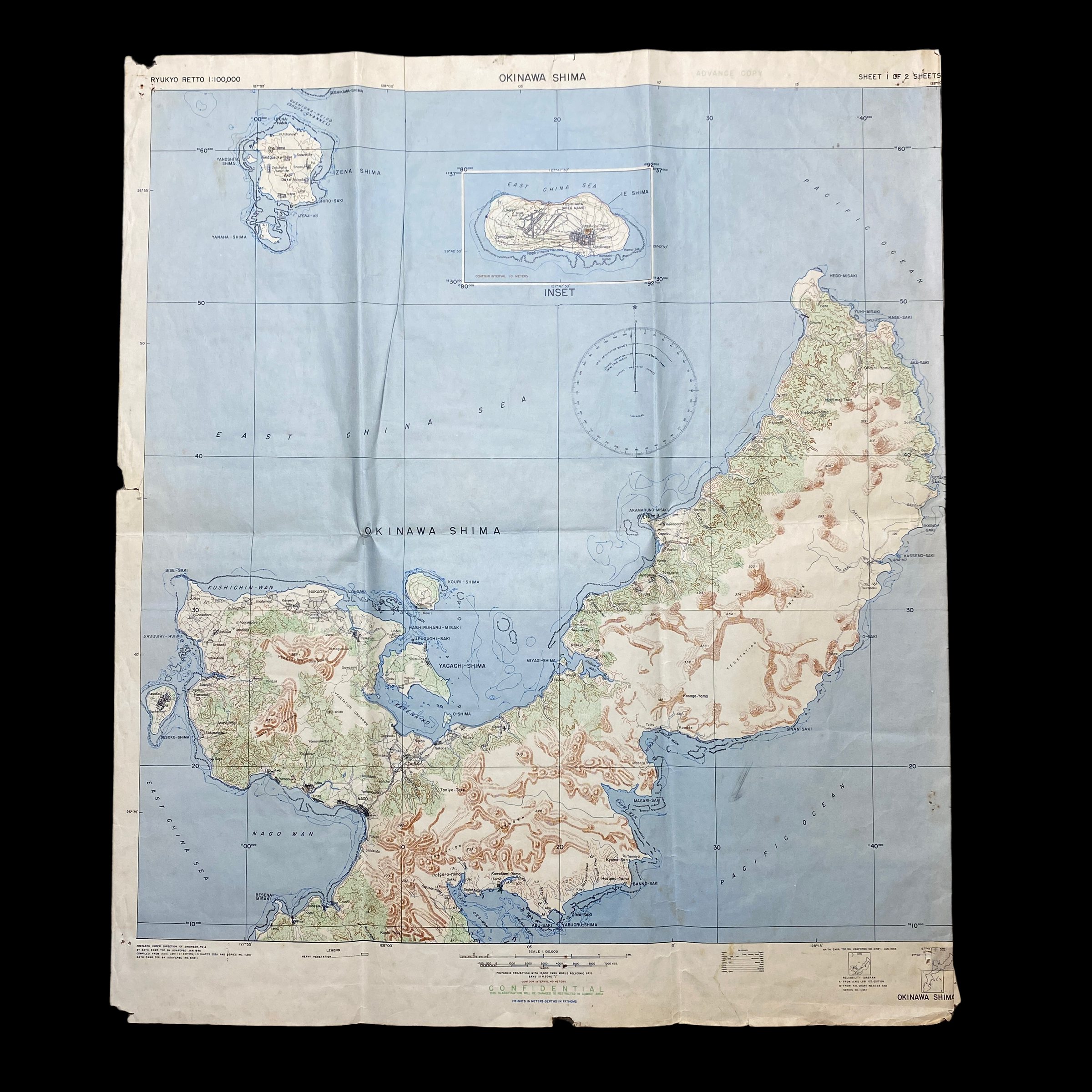
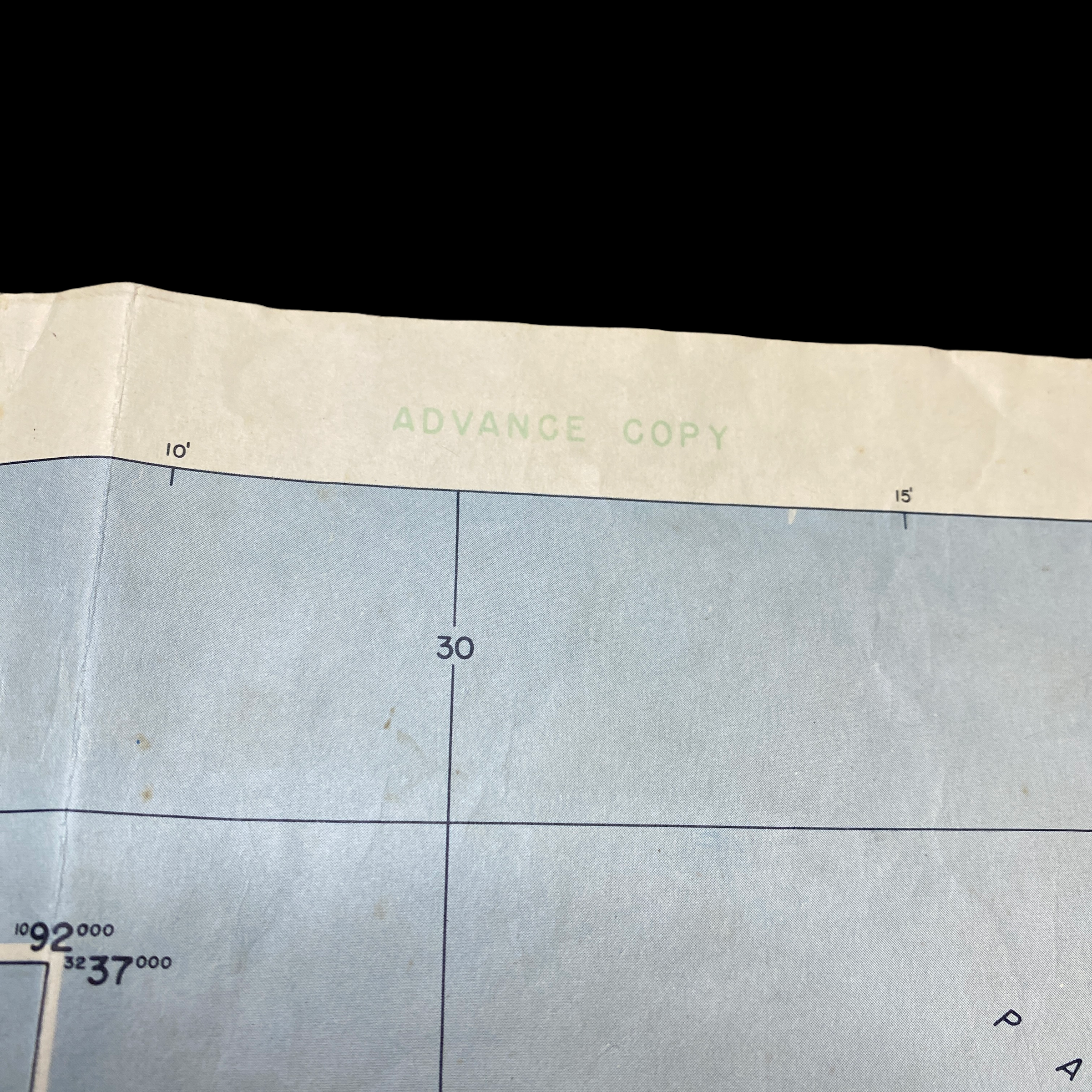
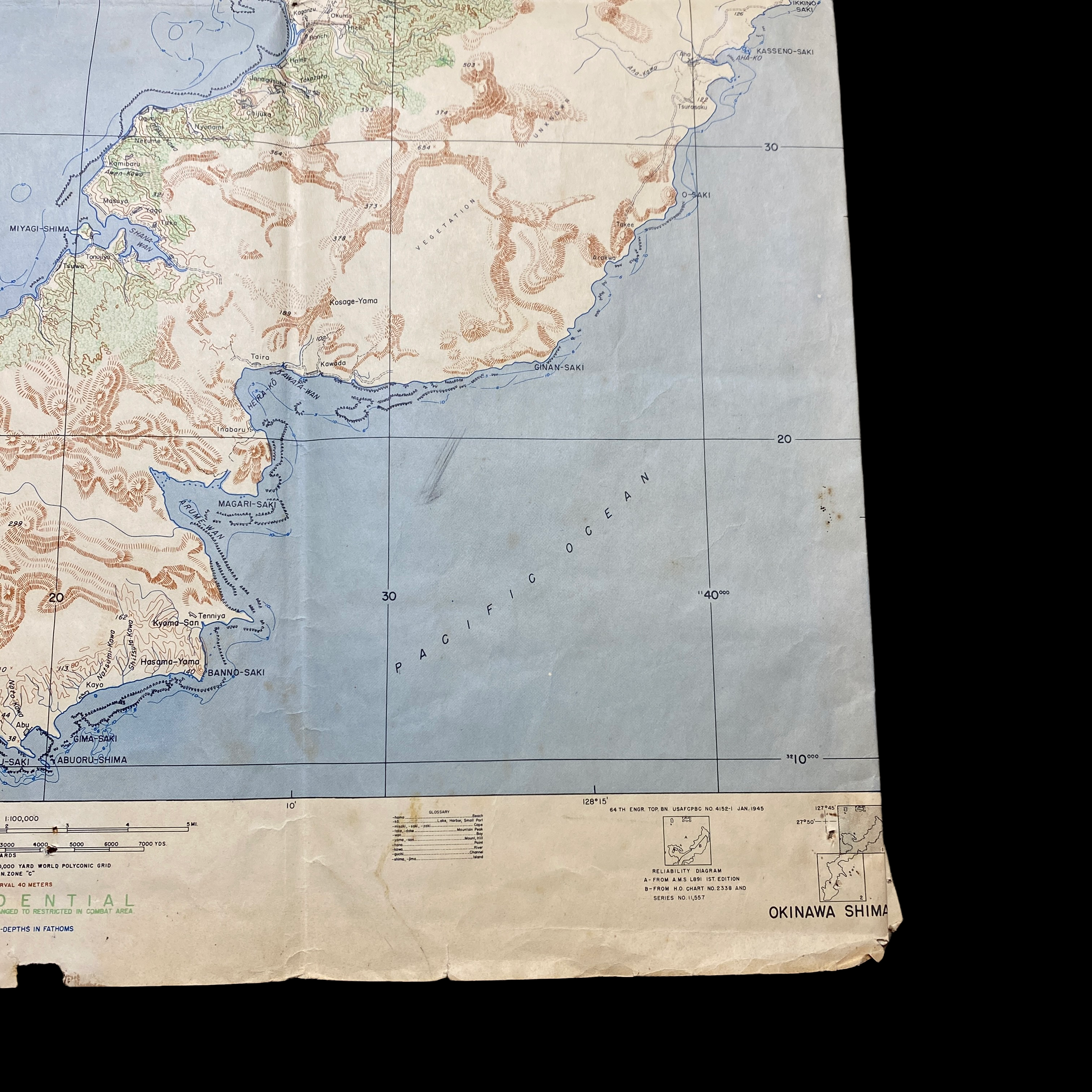
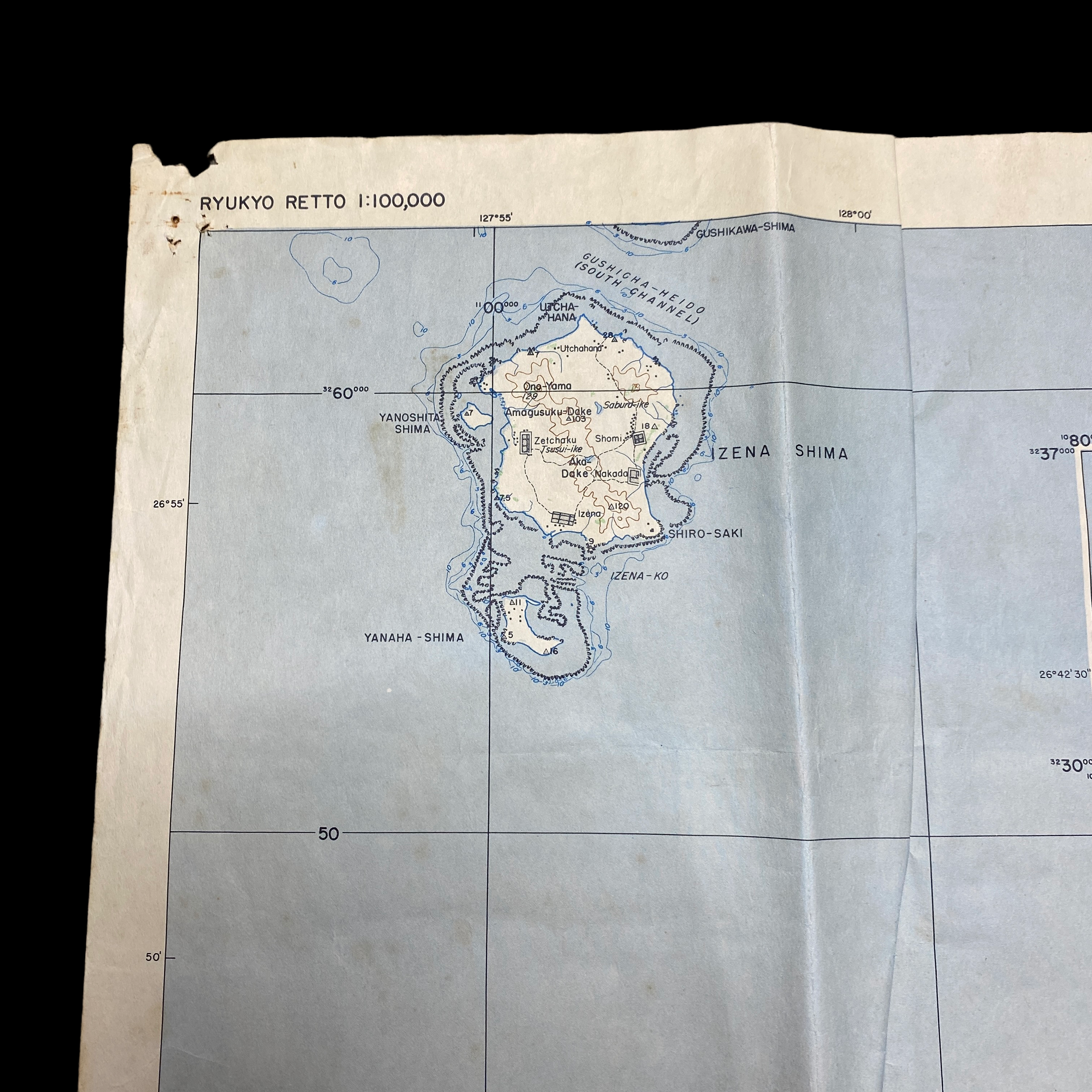
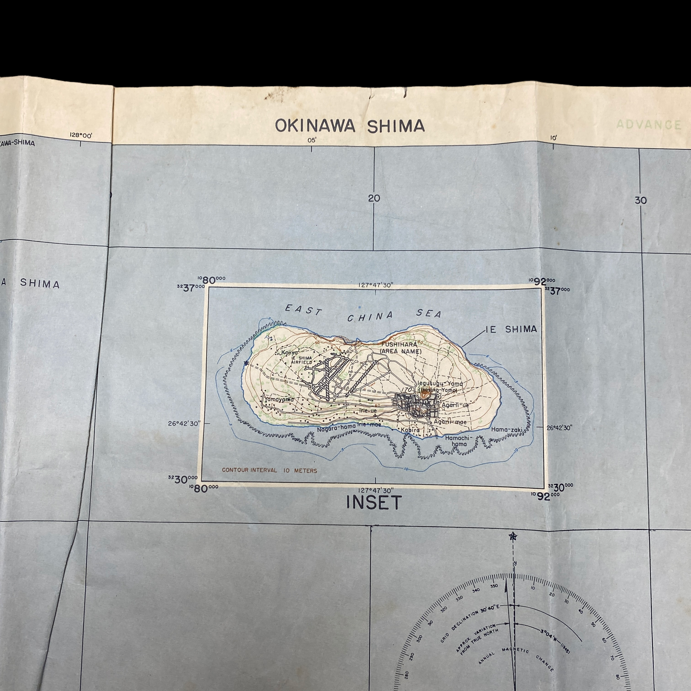
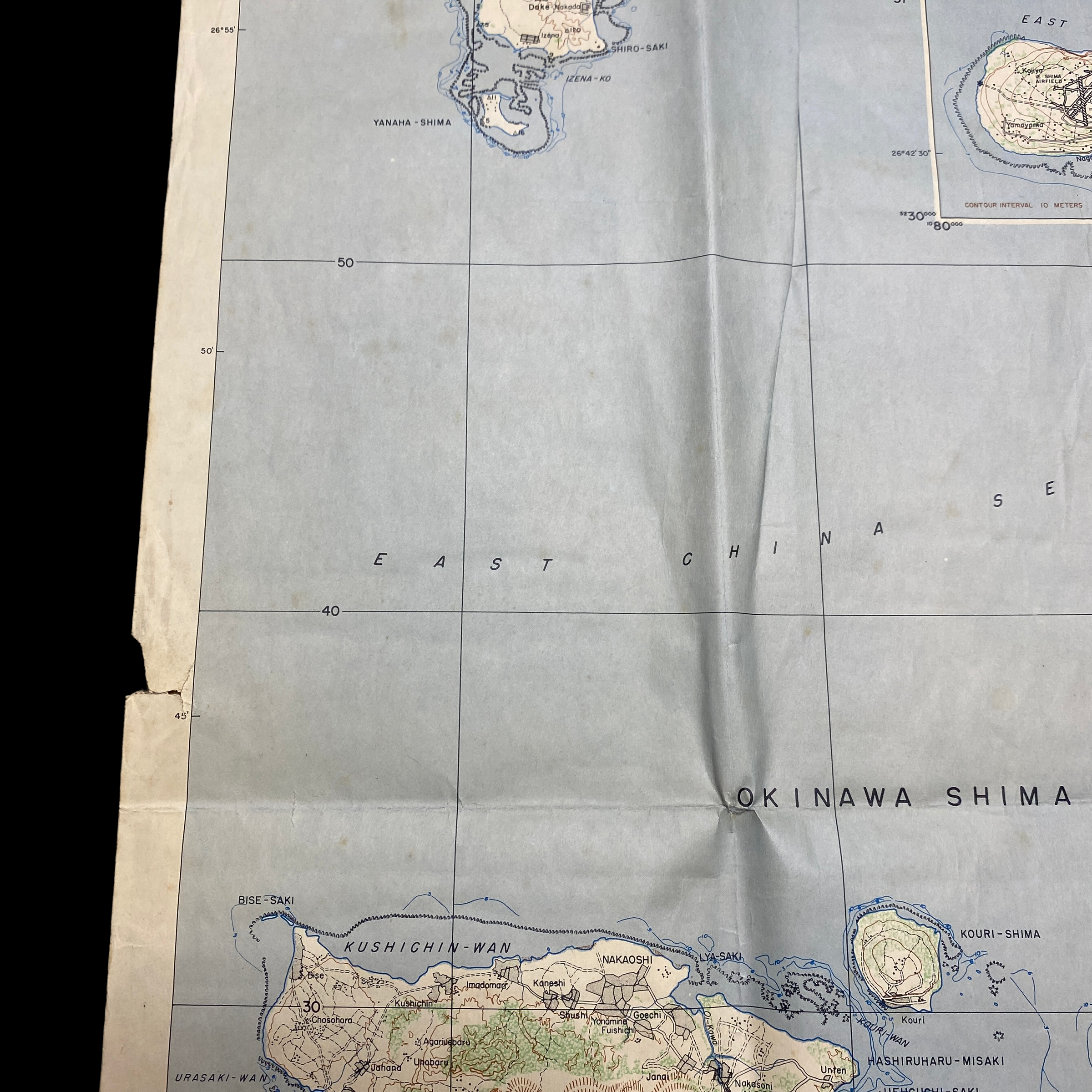
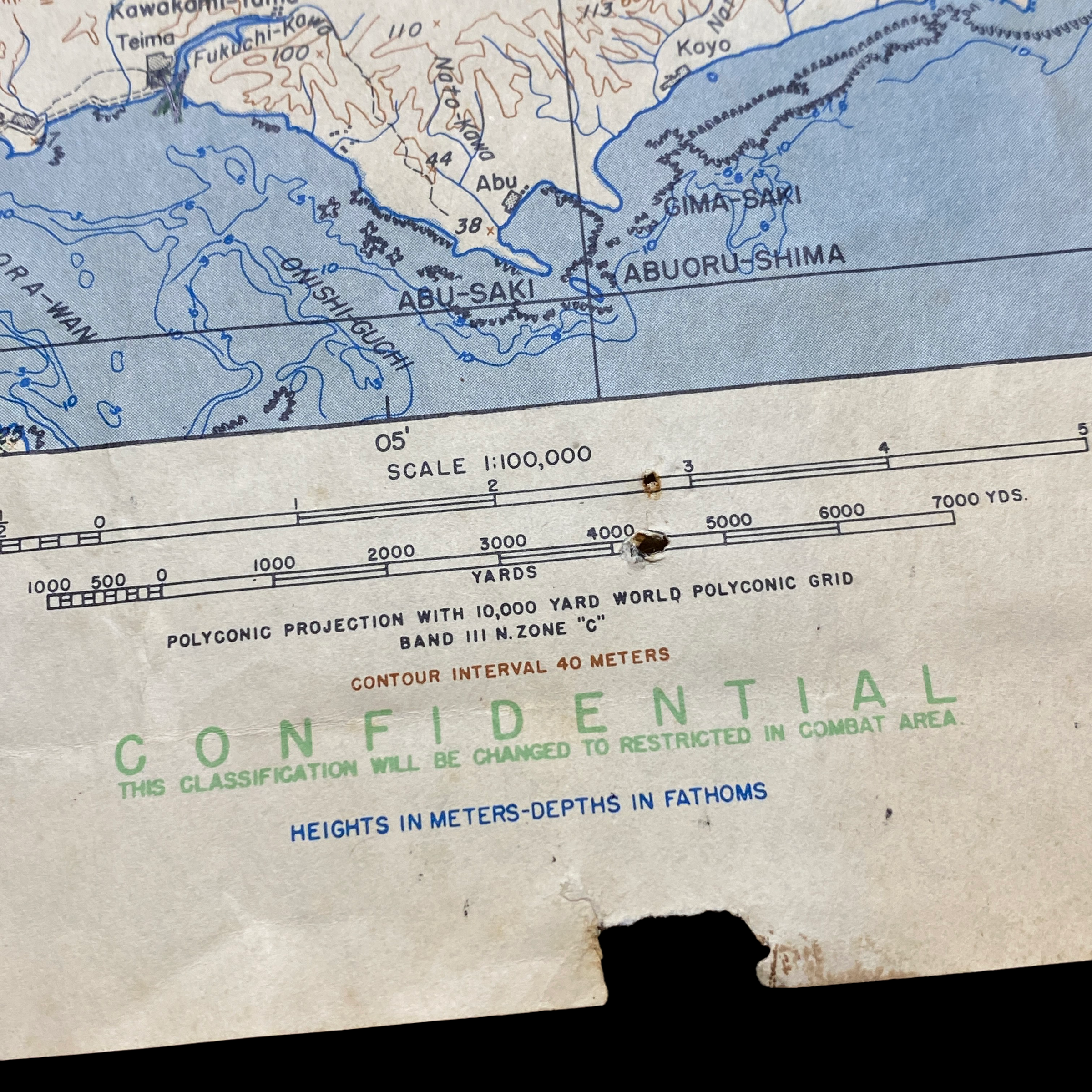
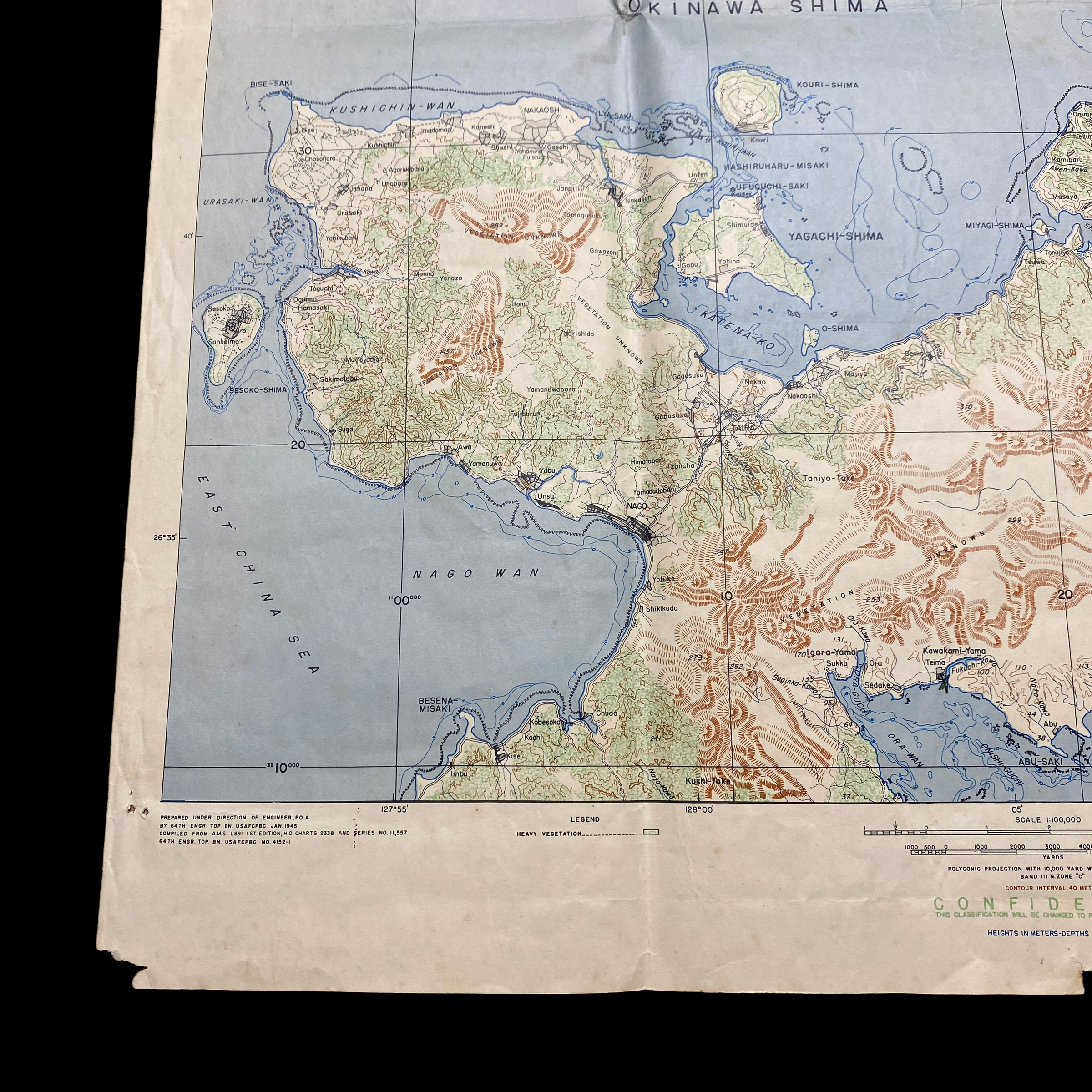
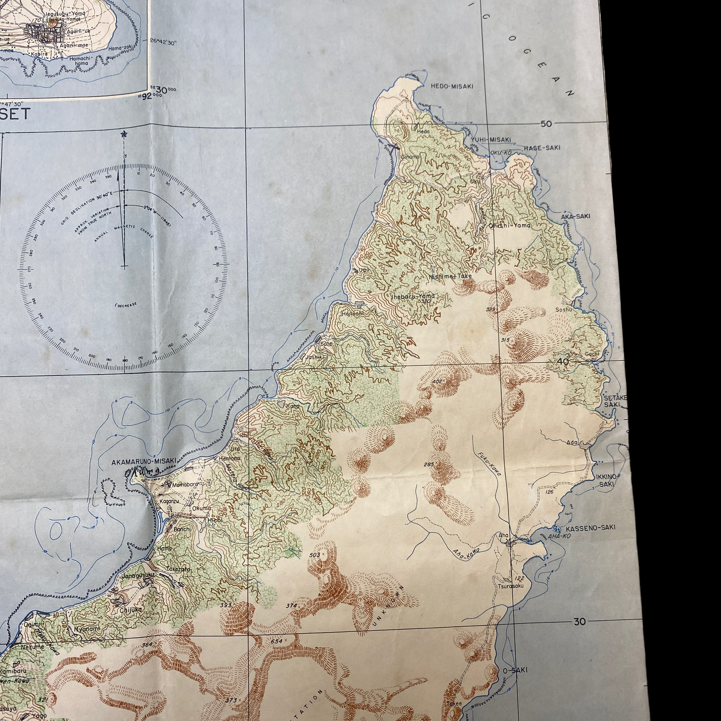
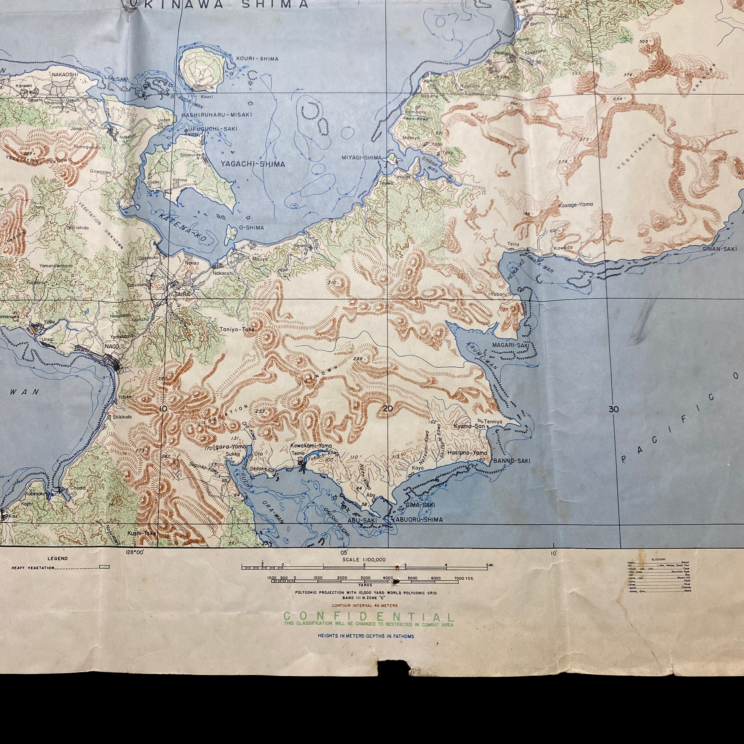
This rare January 1945 dated WWII invasion map of the Japanese occupied island of Okinawa is a 2 of 2 section map showing the battlefield composite of the upper section of Okinawa. Used during the Invasion of Okinawa, this is a rare ADVANCED COPY for Operation Iceberg. Okinawa’s 466 square miles of dense foliage, hills and trees made it the perfect location for the Japanese High Command’s last stand to protect their motherland. They knew if Okinawa fell, so would Japan. The Americans knew securing Okinawa’s airbases was critical to launching a successful Japanese invasion.
The Battle of Okinawa (April 1, 1945-June 22, 1945) was the last major battle of World War II, and one of the bloodiest. On April 1, 1945—Easter Sunday—the Navy’s Fifth Fleet and more than 180,000 U.S. Army and U.S. Marine Corps troops descended on the Pacific island of Okinawa for a final push towards Japan. The invasion was part of Operation Iceberg, a complex plan to invade and occupy the Ryukyu Islands, including Okinawa. Though it resulted in an Allied victory, kamikaze fighters, rainy weather and fierce fighting on land, sea and air led to a large death toll on both sides.
The map showcases one half section of the island and also shows the very important objective of Le Shima. The airfields on Ie Shima were built by the Japanese prior to the American invasion and subsequent Battle of Okinawa in April 1945. It was seized by elements of the United States Army 77th Infantry Division after intermittent bombardment of the island by the United States Navy Fifth Fleet from 25 March through 16 April when the invasion of the island commenced. The island was not declared secure until 24 April.
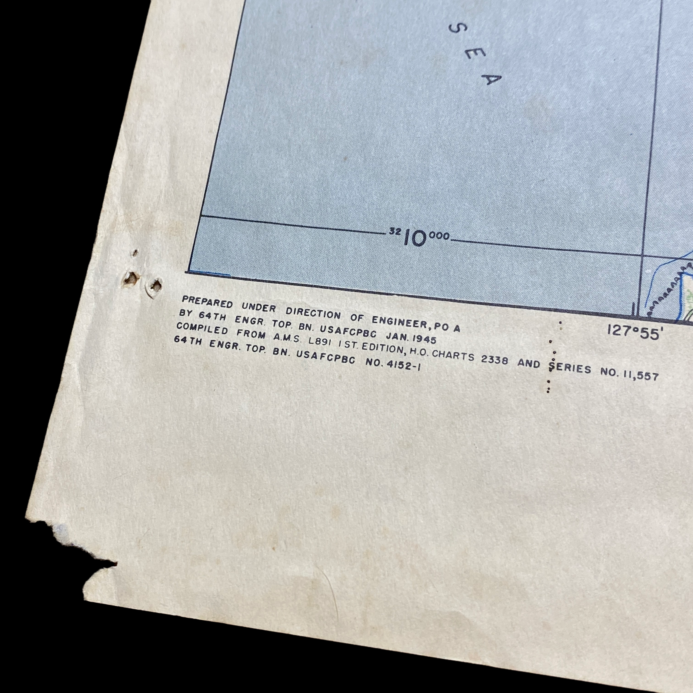
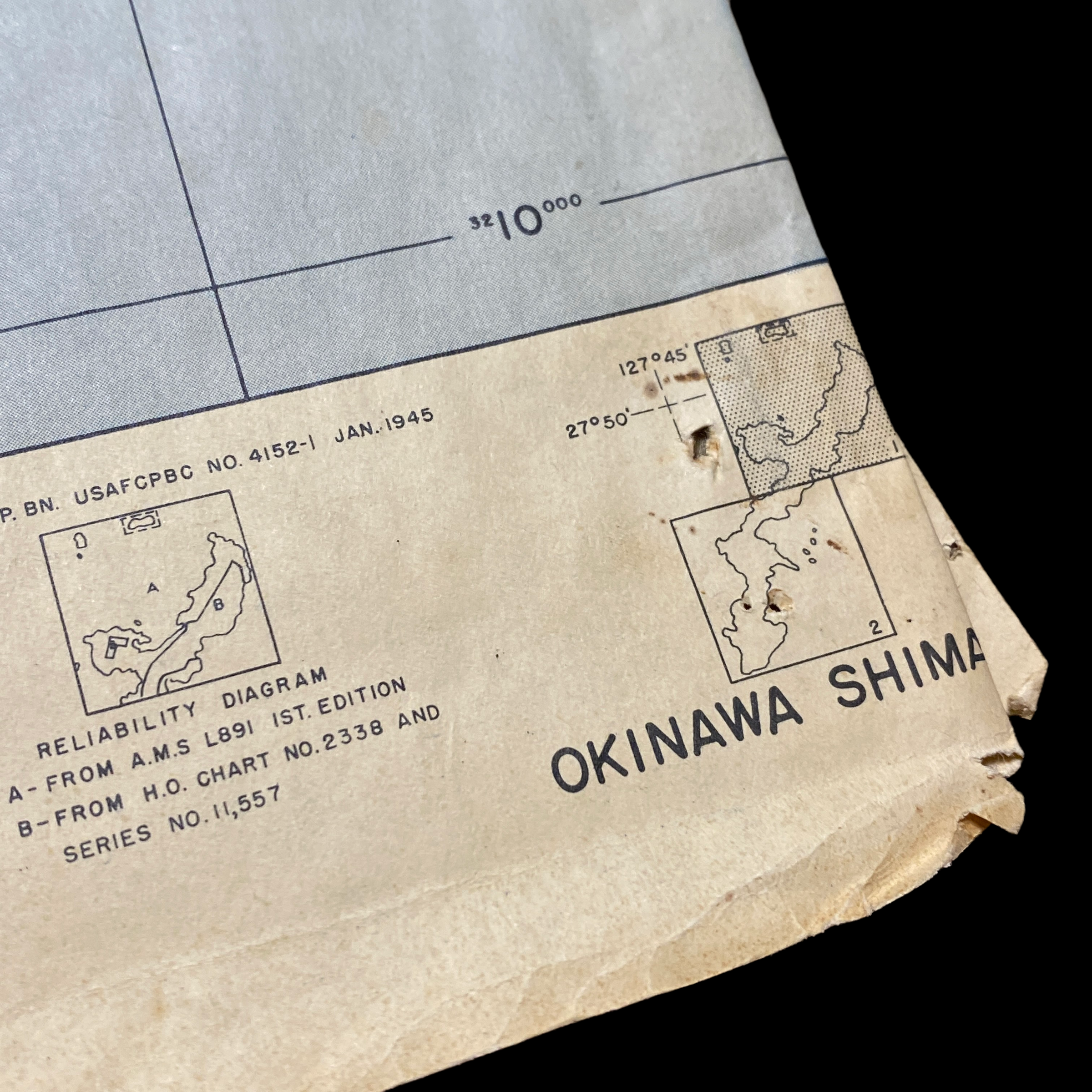
This map was created by the 64th Engineers. A special and rare feature of this map shows the detailed airfields and mountains with the unique view of important landmarks within the island. This would have been very helpful and used as a visual marker for infantryman to better identify these more notable landmarks when planning their attack on Okinawa.
Being produced in 1945 the Army wanted to give the infantry soldiers on the ground attacking Okinawa the most updated information. This map in-particular was a US bring back and was found in the collection of 4 other RESTRICTED and SECRET Okinawa landing maps.
The battle has been referred to as the "typhoon of steel" in English, and tetsu no ame ("rain of steel") or tetsu no bōfū ("violent wind of steel") in Japanese. The nicknames refer to the ferocity of the fighting, the intensity of Japanese kamikaze attacks, and the sheer numbers of Allied ships and armored vehicles that assaulted the island. The battle was one of the bloodiest in the Pacific, with approximately 160,000 casualties on both sides: at least 75,000 Allied and 84,166–117,000 Japanese, including drafted Okinawans wearing Japanese uniforms. 149,425 Okinawans were killed, committed suicide or went missing, a significant proportion of the estimated pre-war 300,000 local population.