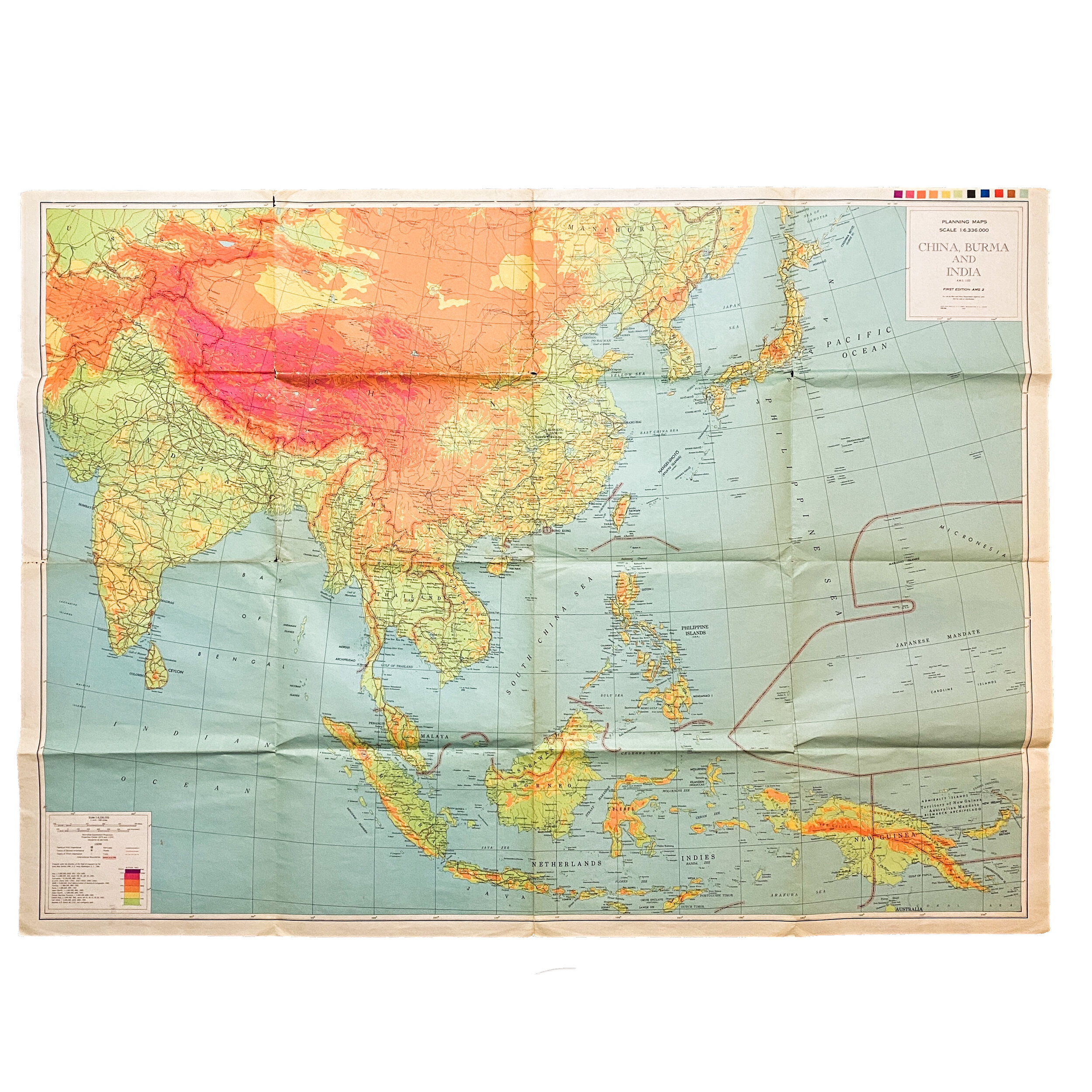
1944 War Room Pacific Theater U.S. Planning Map 'China, Burma, India'


1944 War Room Pacific Theater U.S. Planning Map 'China, Burma, India'
Size:
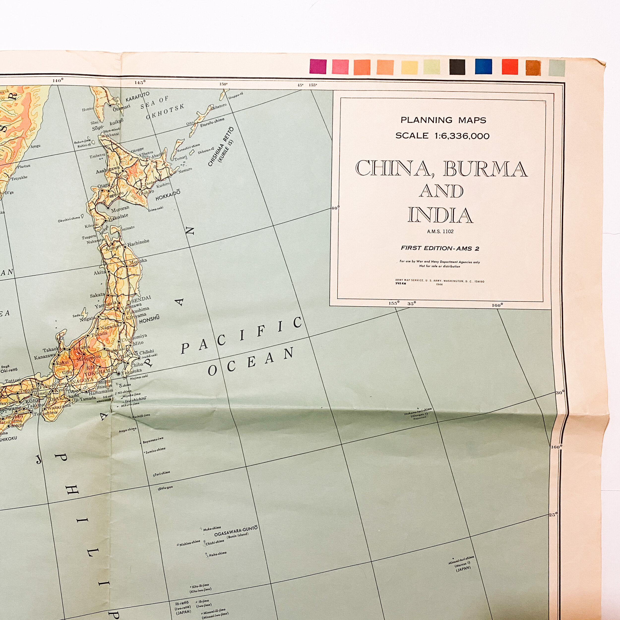
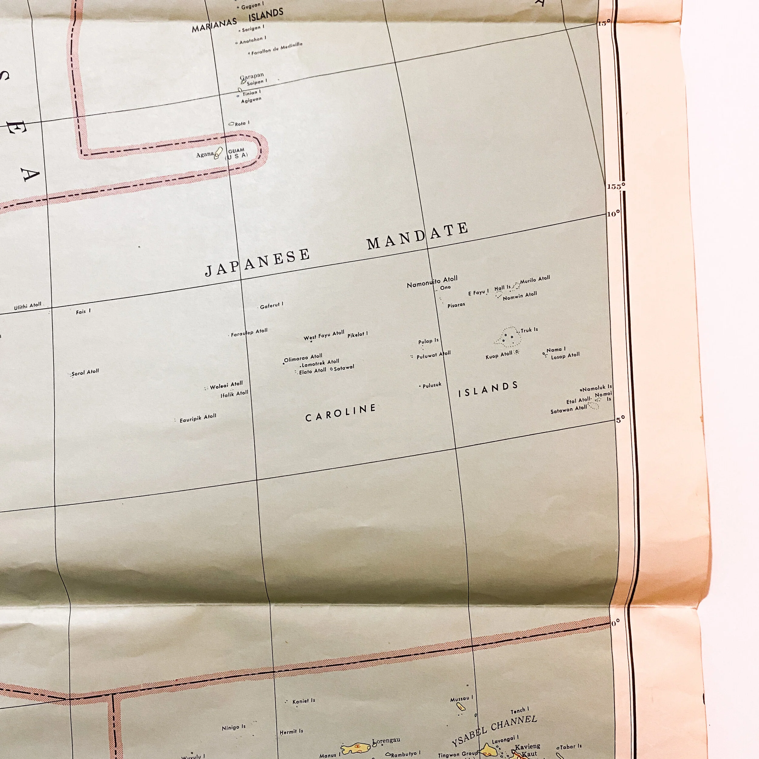
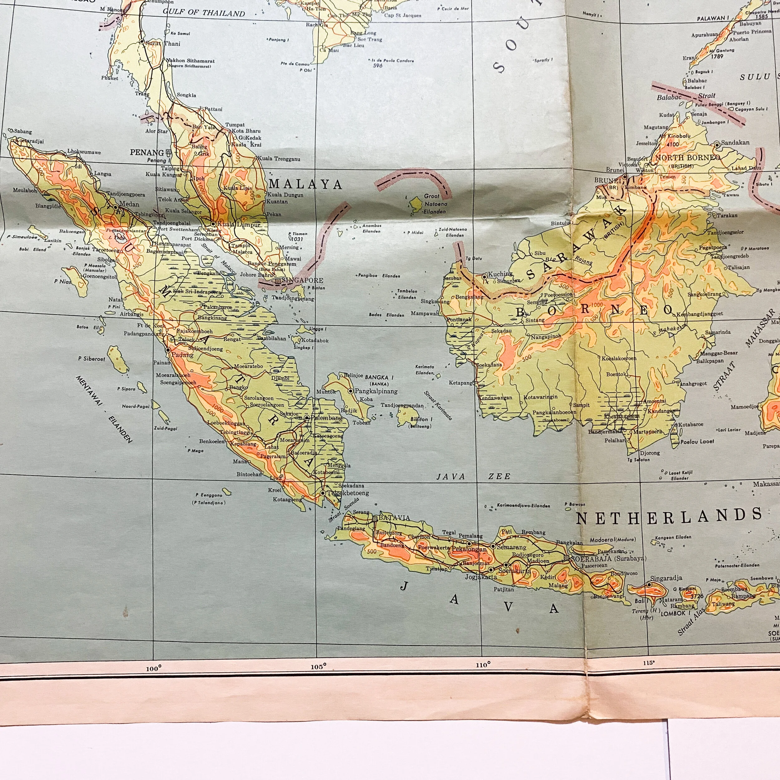
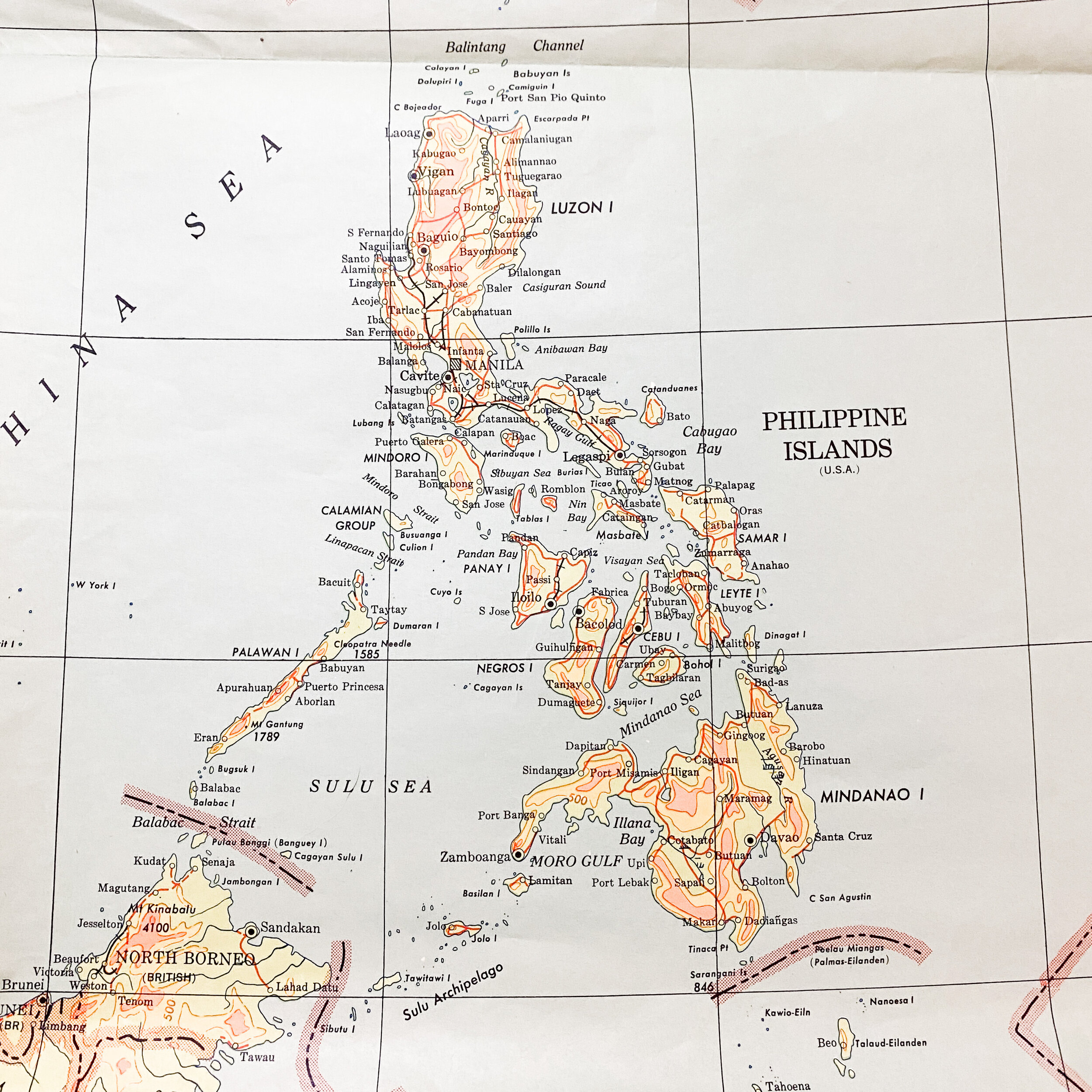
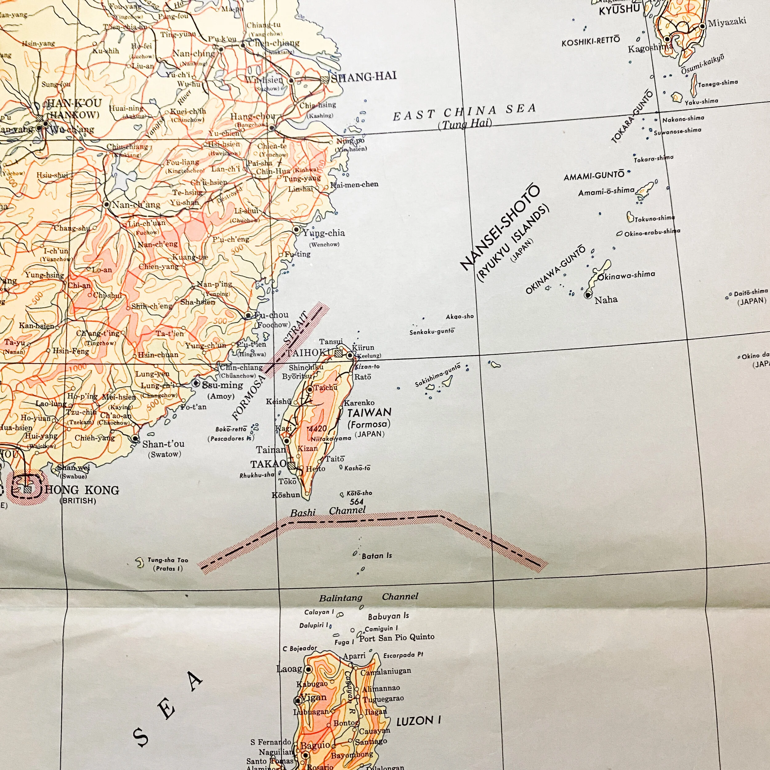
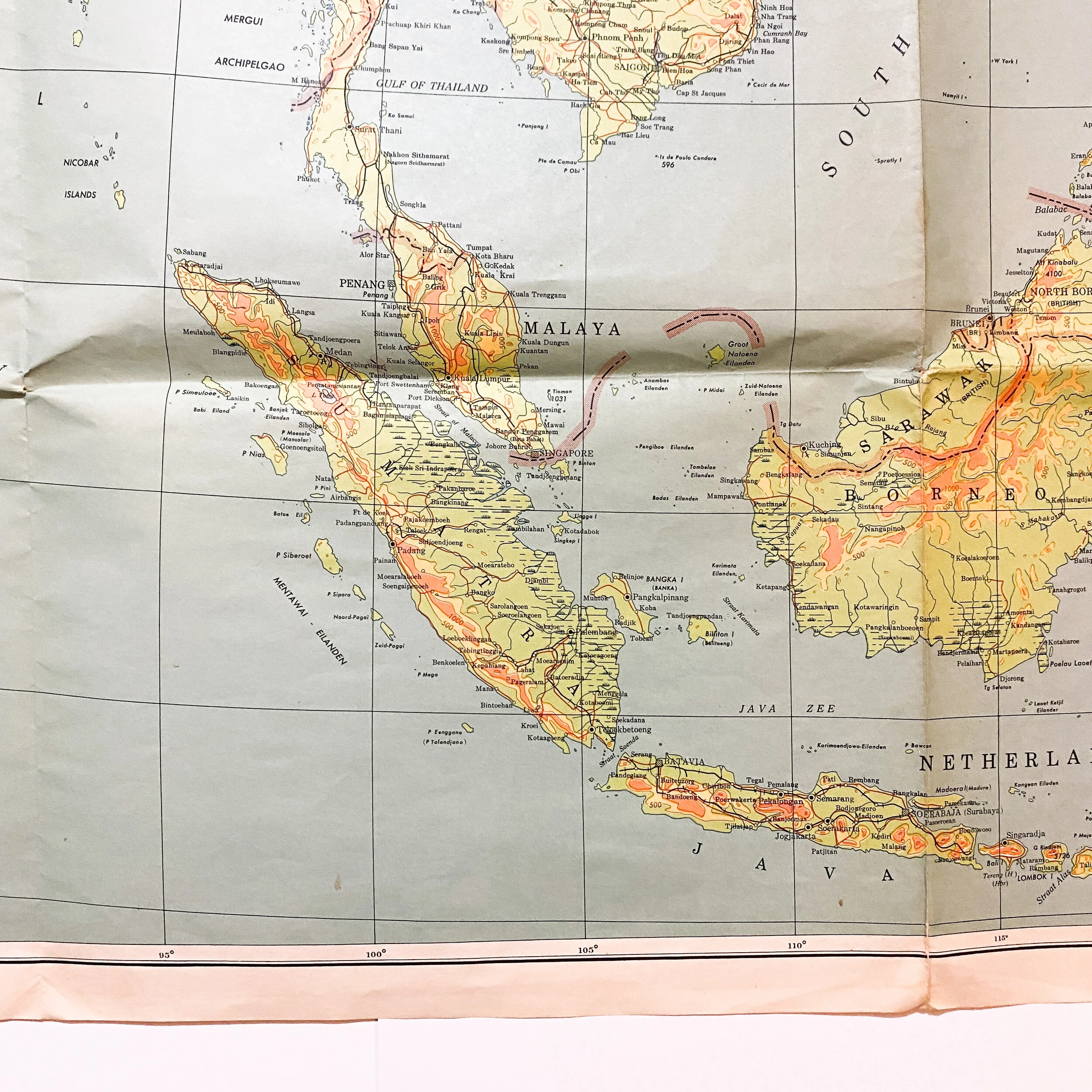
This extremely rare in 1944, First Edition - AMS 2 map was constructed for use by the war Department and navy department agencies only. This type of planning map what are been used in the planning room and war room were higher up Allied assaults and future missions as they began to drive the Japanese back toward their homeland of Japan. This map is extremely large and does not have any pin holes in the corners meaning that is was never hung on a wall of the war room and was most likely only laid on a large table. This map would have been most effective in seeing the Japanese occupied islands and planning strategic moves for the next island to take.
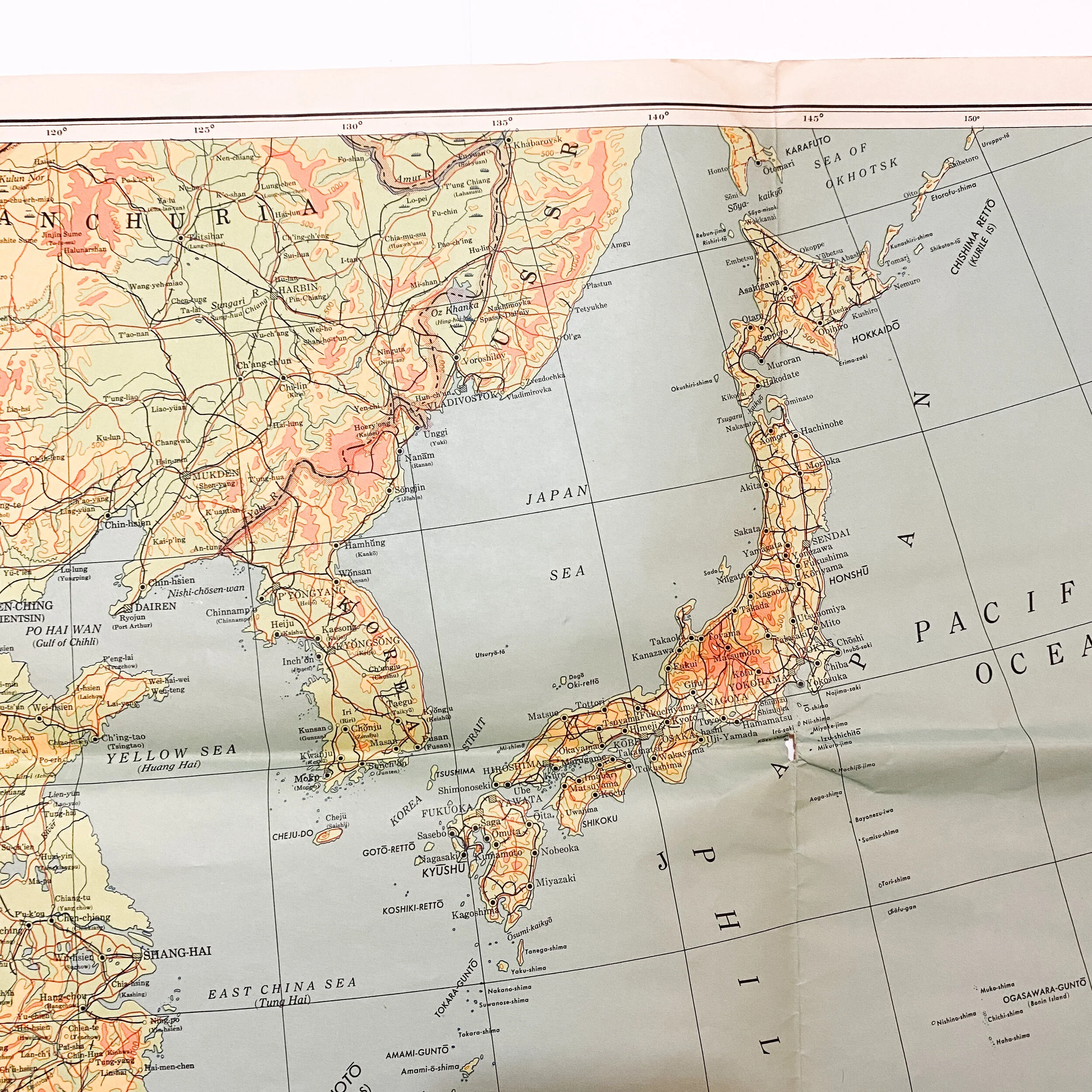
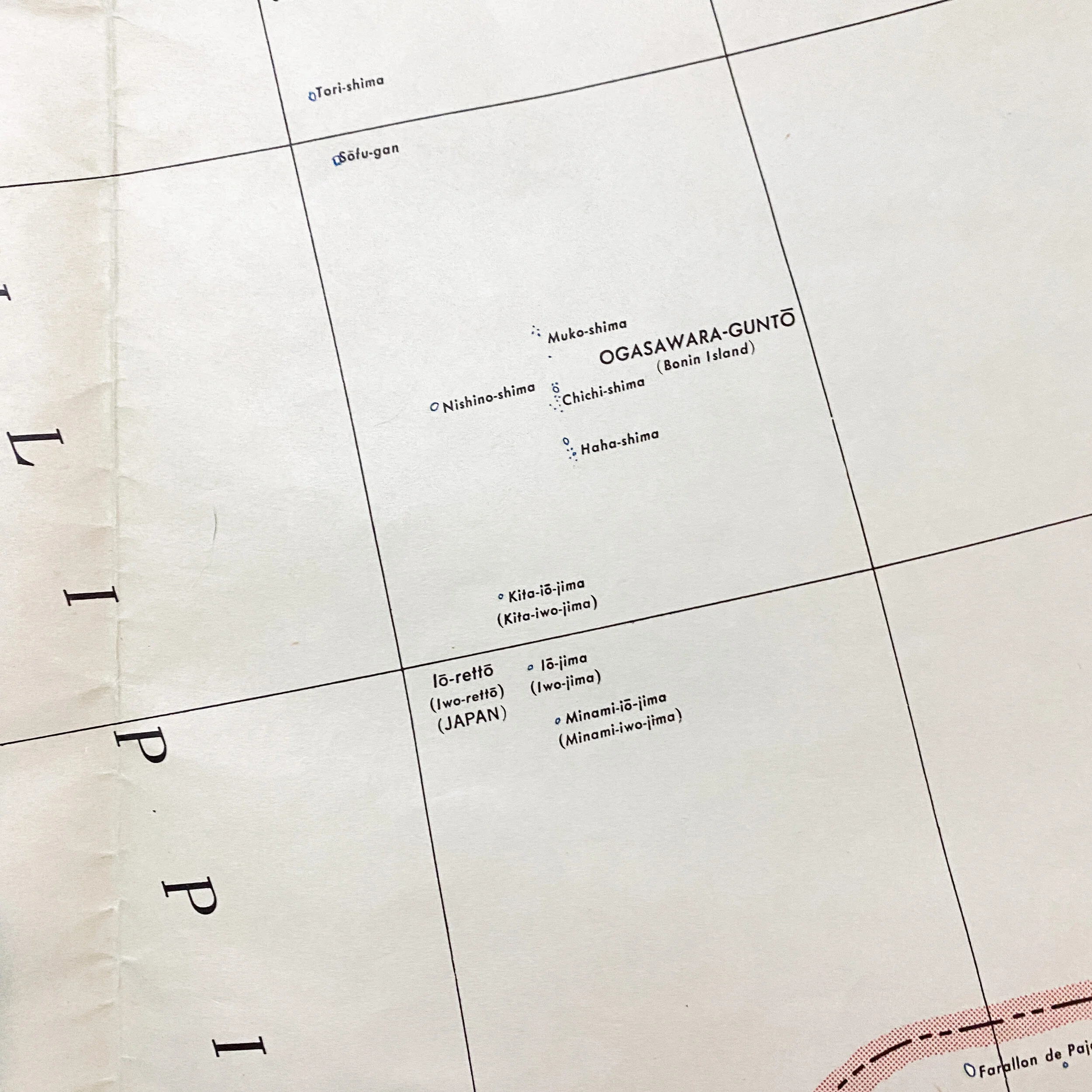
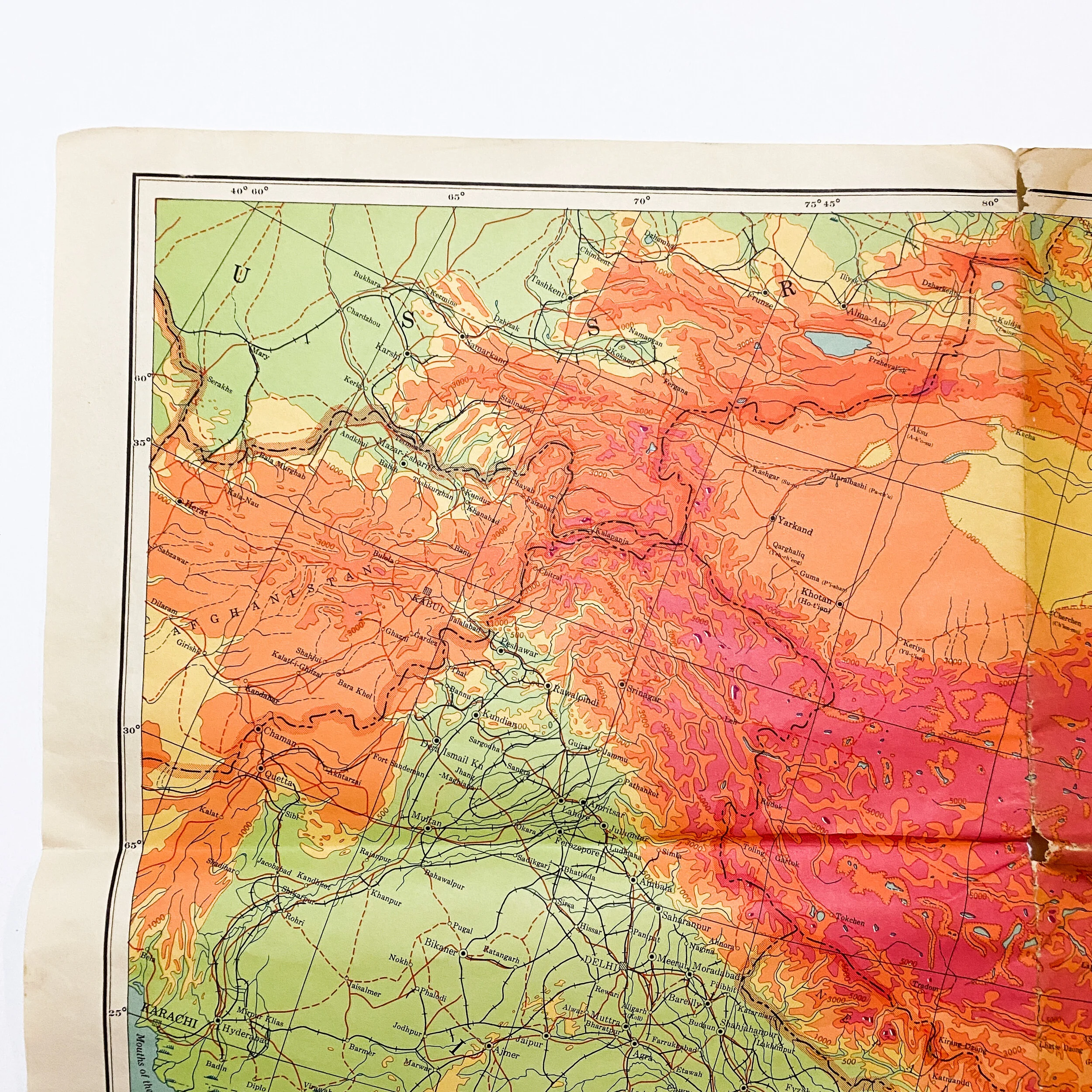
While the map is label ‘China, Burma, and India’ it shows some of the most historically notable islands taken by the US and other Allied forces in the Pacific Theater including, Japan, Iwo Jima, Saipan, Tinian, Guam, Turk, Peleliu, New Guinea, Celebes, Boreno, Malaya, the Philippine Islands, Luzon, etc.
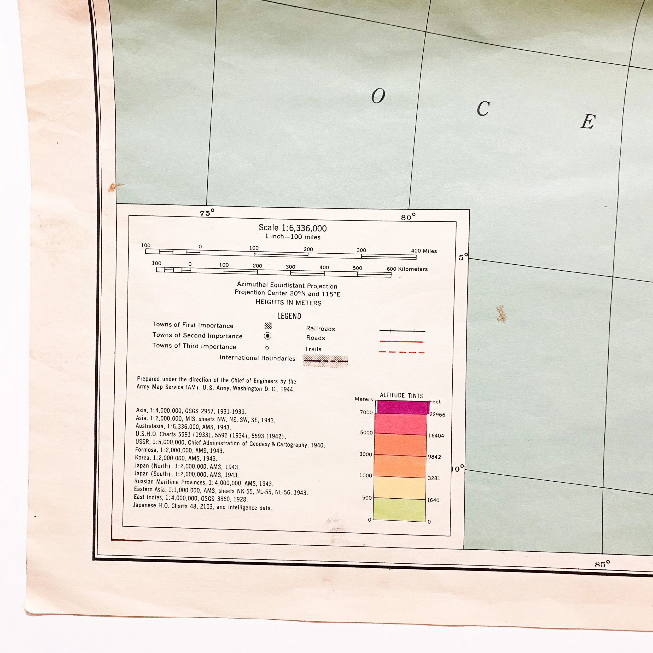
The legend located in the bottom left designates towns of the 1st, 2nd and 3rd importance as well as altitude tints.